MyTopo
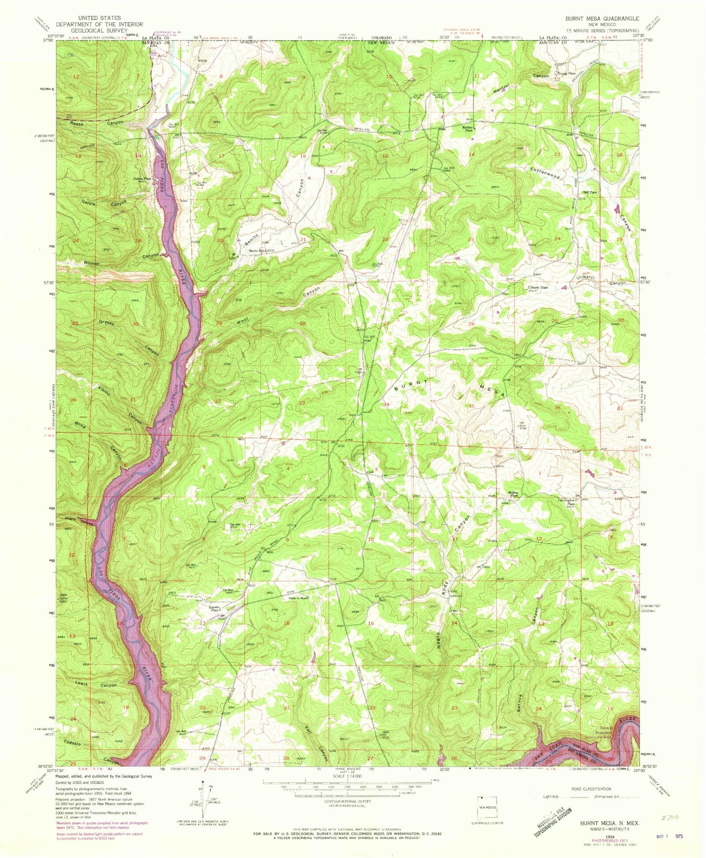
Classic USGS Burnt Mesa New Mexico 7.5'x7.5' Topo Map
Couldn't load pickup availability
Historical USGS topographic quad map of Burnt Mesa in the state of New Mexico. Typical map scale is 1:24,000, but may vary for certain years, if available. Print size: 24" x 27"
This quadrangle is in the following counties: Rio Arriba, San Juan.
The map contains contour lines, roads, rivers, towns, and lakes. Printed on high-quality waterproof paper with UV fade-resistant inks, and shipped rolled.
Contains the following named places: Cemetery Canyon, Benito Canyon, Albino Canyon, Benito School, Blind Canyon, Burnt Mesa, Garcia Canyon, Grassy Canyon, Hole in Rock, Mentzel Canyon, Negro Canyon, Reese Canyon, Spruce Canyon, Todosio Canyon, Ulibarri Canyon, Wilmer Canyon, Wool Canyon, Lewis Park Canyon, Christopher Place, Garcia Place (historical), Lucero Place, Mackey Place, Mullen Place, Self Place, Ulibarri Place (historical), Young Place, Mentzel Ditch, Middle Mesa Census Designated Place, La Boca, La Boca Census Designated Place


