MyTopo
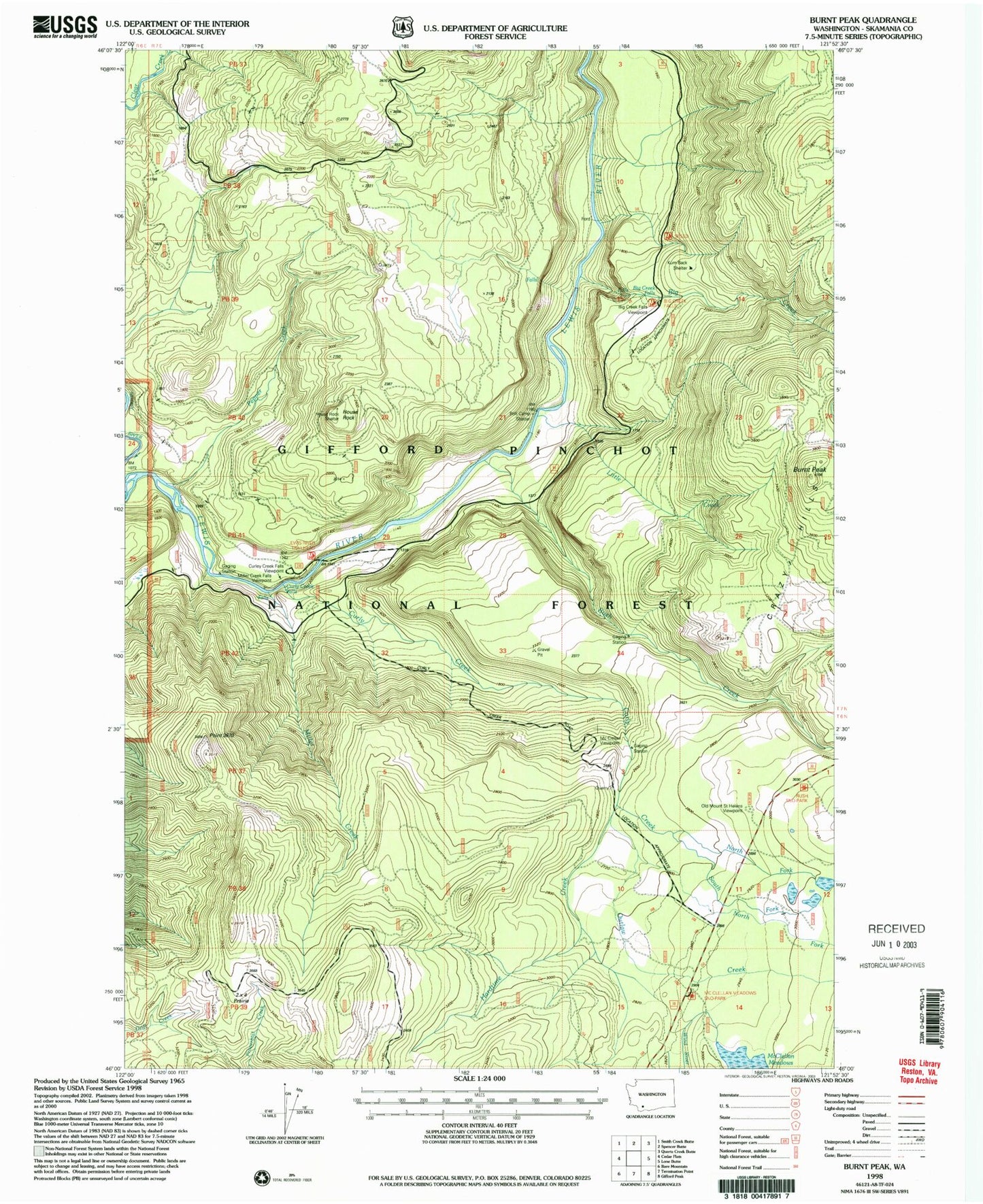
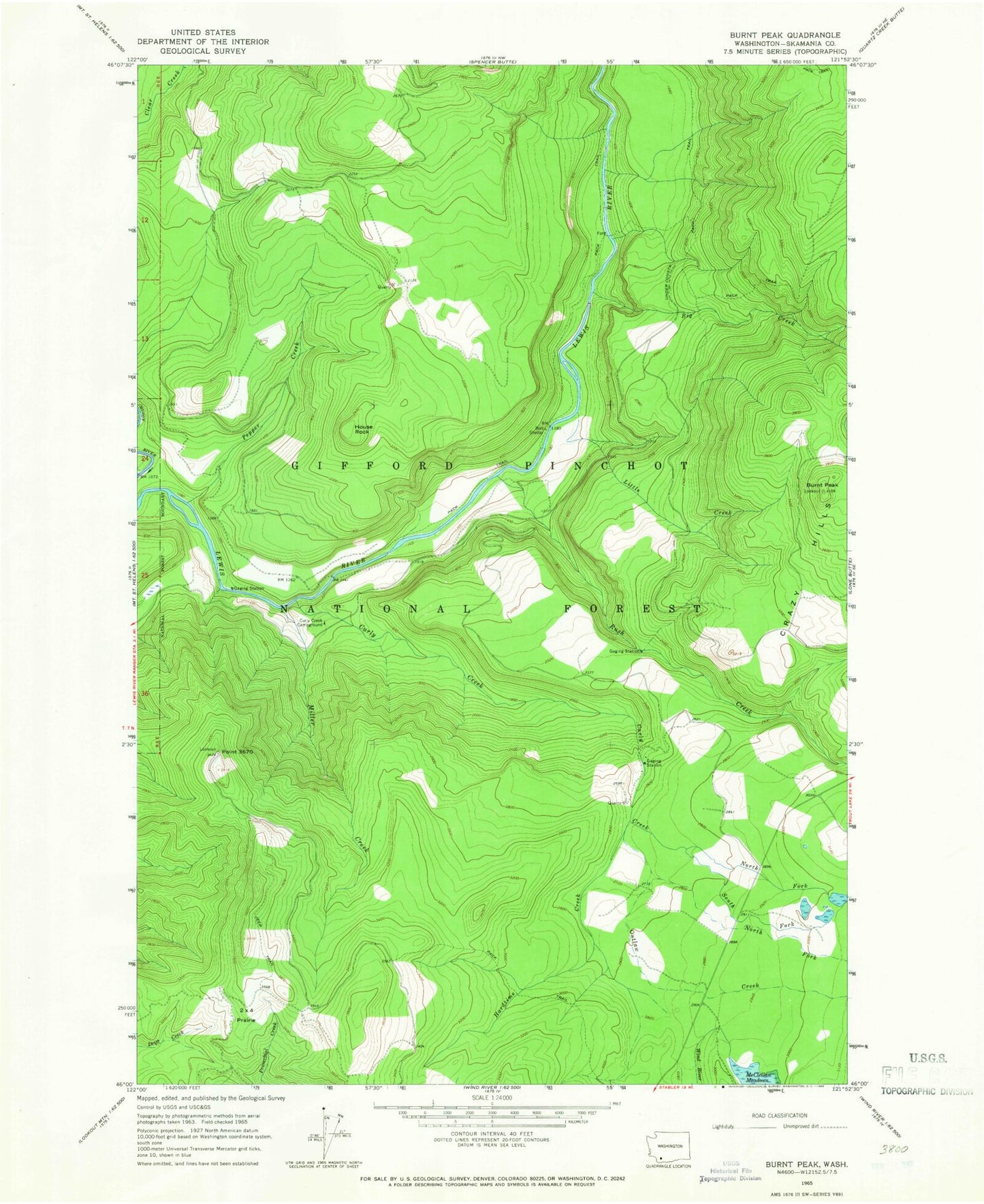
Classic USGS Burnt Peak Washington 7.5'x7.5' Topo Map
Couldn't load pickup availability
Historical USGS topographic quad map of Burnt Peak in the state of Washington. Typical map scale is 1:24,000, but may vary for certain years, if available. Print size: 24" x 27"
This quadrangle is in the following counties: Skamania.
The map contains contour lines, roads, rivers, towns, and lakes. Printed on high-quality waterproof paper with UV fade-resistant inks, and shipped rolled.
Contains the following named places: Big Creek, Burnt Peak, Crazy Hills, Curly Creek, Curly Creek Campground, Hardtime Creek, House Rock, Little Creek, Miller Creek, North Fork Curley Creek, North Fork Outlaw Creek, Outlaw Creek, Pepper Creek, Point 3670, Rush Creek, South Fork Curley Creek, Two Times Four Prairie, Skamania County, Outlaw Ridge Volcanic Viewpoint, Kum Back Shelter, Bolt Shelter, Curly Creek Falls Viewpoint, Curly Creek Falls, Big Creek Falls, Big Creek Falls Viewpoint, Burnt Peak Lookout, Point 3670 Lookout, North Skamania Division


