MyTopo
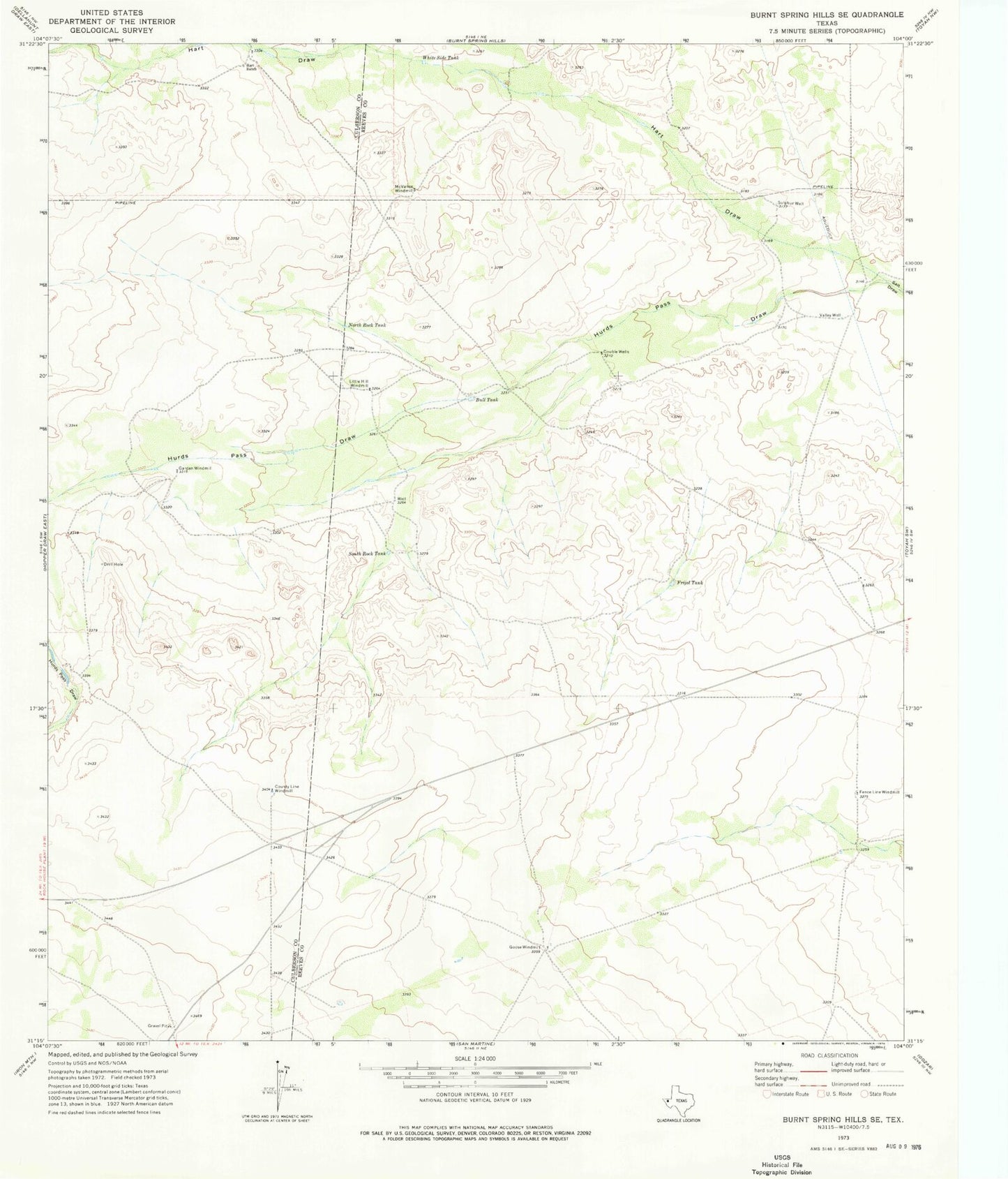
Classic USGS Burnt Spring Hills SE Texas 7.5'x7.5' Topo Map
Couldn't load pickup availability
Historical USGS topographic quad map of Burnt Spring Hills SE in the state of Texas. Map scale may vary for some years, but is generally around 1:24,000. Print size is approximately 24" x 27"
This quadrangle is in the following counties: Culberson, Reeves.
The map contains contour lines, roads, rivers, towns, and lakes. Printed on high-quality waterproof paper with UV fade-resistant inks, and shipped rolled.
Contains the following named places: Bull Tank, County Line Windmill, Double Well, Fence Line Windmill, Frijol Tank, Garden Windmill, Goose Windmill, Hart Draw, Hart Ranch, Herds Pass Draw, Little Hill Windmill, McVance Windmill, North Rock Tank, South Rock Tank, Sulphur Well, Valley Well, White Side Tank