MyTopo
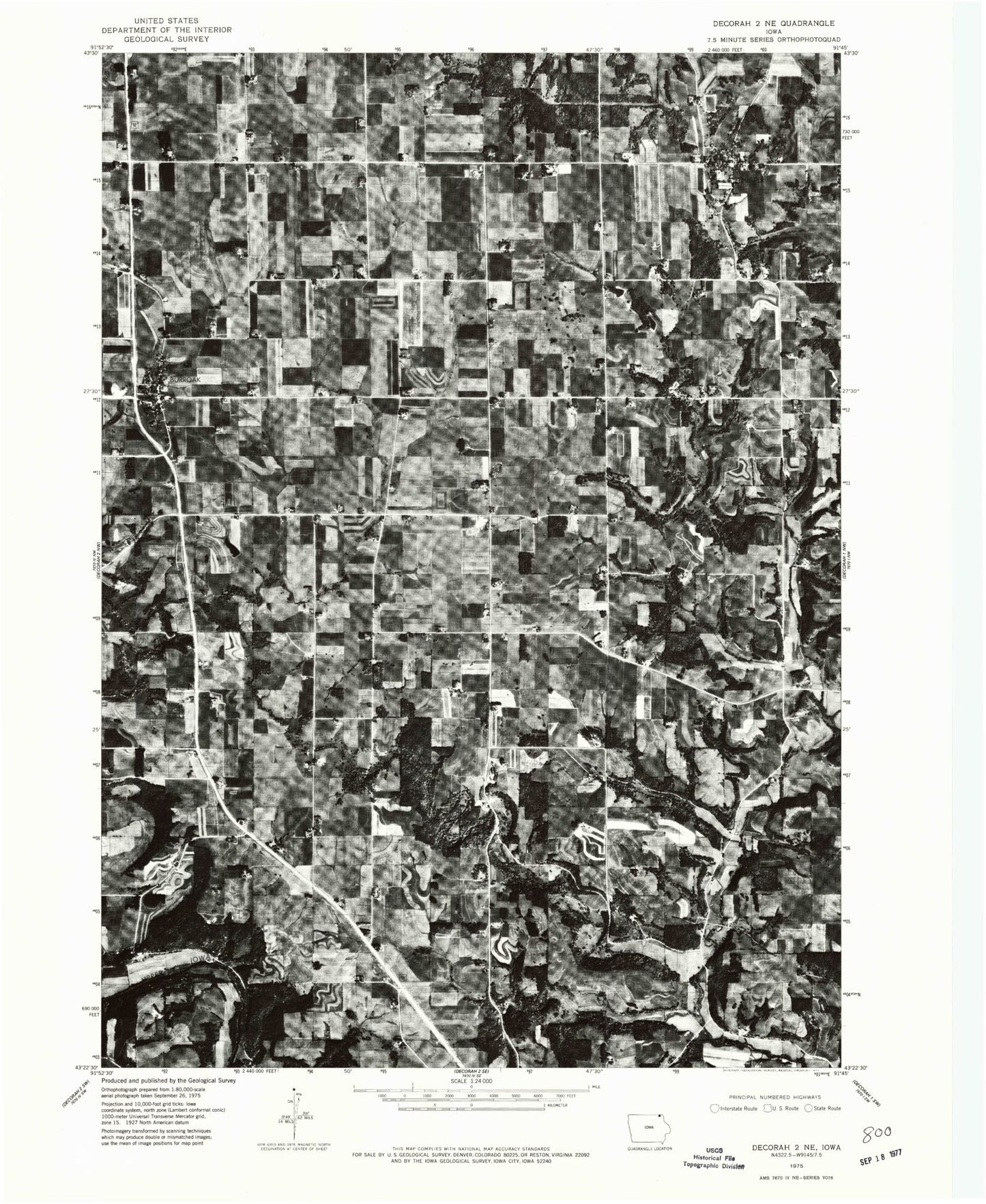
Classic USGS Burr Oak Iowa 7.5'x7.5' Topo Map
Couldn't load pickup availability
Historical USGS topographic quad map of Burr Oak in the state of Iowa. Map scale may vary for some years, but is generally around 1:24,000. Print size is approximately 24" x 27"
This quadrangle is in the following counties: Winneshiek.
The map contains contour lines, roads, rivers, towns, and lakes. Printed on high-quality waterproof paper with UV fade-resistant inks, and shipped rolled.
Contains the following named places: Burr Oak, Burr Oak Cemetery, Burr Oak Census Designated Place, Burr Oak Lutheran Church, Burr Oak Post Office, Burr Oak United Methodist Church, Franklin Prairie Post Office, Friends Church, Hauge Cemetery, Hauge Church, Hawks Ponds, Hesper, Hesper Cemetery, Hesper Lutheran Cemetery, Hesper Lutheran Church, Hesper Post Office, Kingdom Hall Church, Laura Ingalls Wilder Museum, Laura Ingalls Wilder Park, Luther College Observatory, Lutheran Cemetery, North Canoe Creek, North Winneshiek Elementary School, North Winneshiek Middle School, Salveson Cemetery, Township of Canoe, Township of Hesper, Wilson - Smalley Cemetery