MyTopo
Classic USGS Burr Nebraska 7.5'x7.5' Topo Map
Couldn't load pickup availability
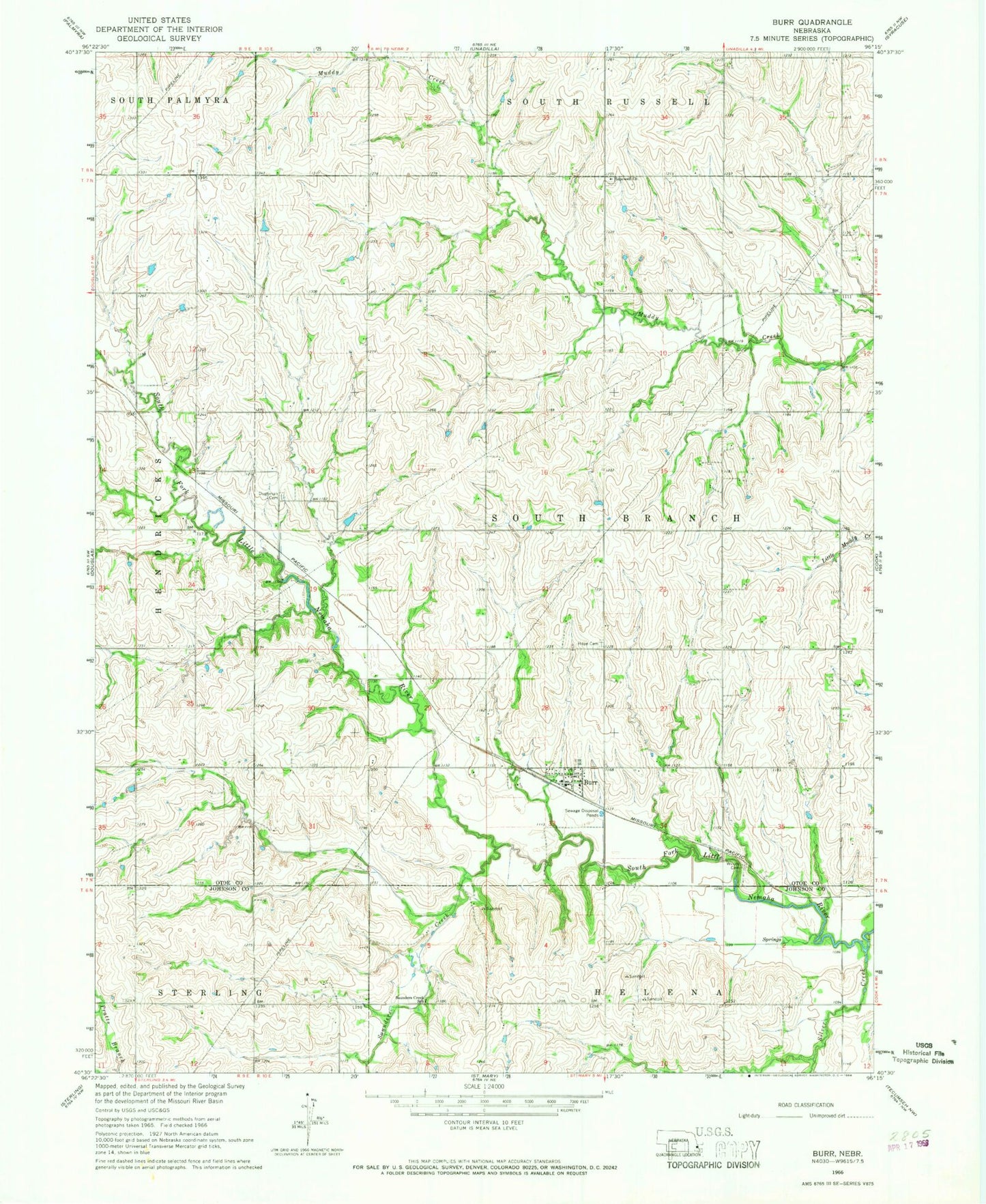
Historical USGS topographic quad map of Burr in the state of Nebraska. Map scale may vary for some years, but is generally around 1:24,000. Print size is approximately 24" x 27"
This quadrangle is in the following counties: Johnson, Otoe.
The map contains contour lines, roads, rivers, towns, and lakes. Printed on high-quality waterproof paper with UV fade-resistant inks, and shipped rolled.
Contains the following named places: Burr, Burr Post Office, Burr Rescue Squad Incorporated, Burr Volunteer Fire Department, Dughman Cemetery, Farmers Co-op Elevator, Hope Cemetery, Hope Lutheran Church, Hopewell Church, Saunders Creek, Saunders Creek School, Silver Creek, South Branch Election Precinct, Township of South Branch, Village of Burr, Watermeier Airport, ZIP Code: 68324