MyTopo
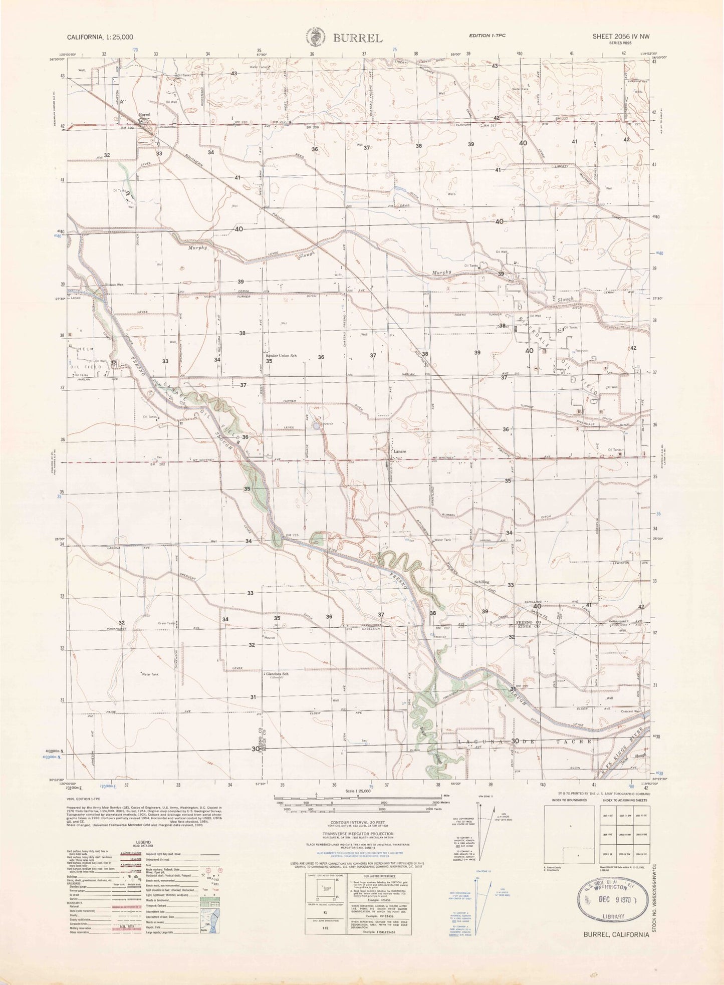
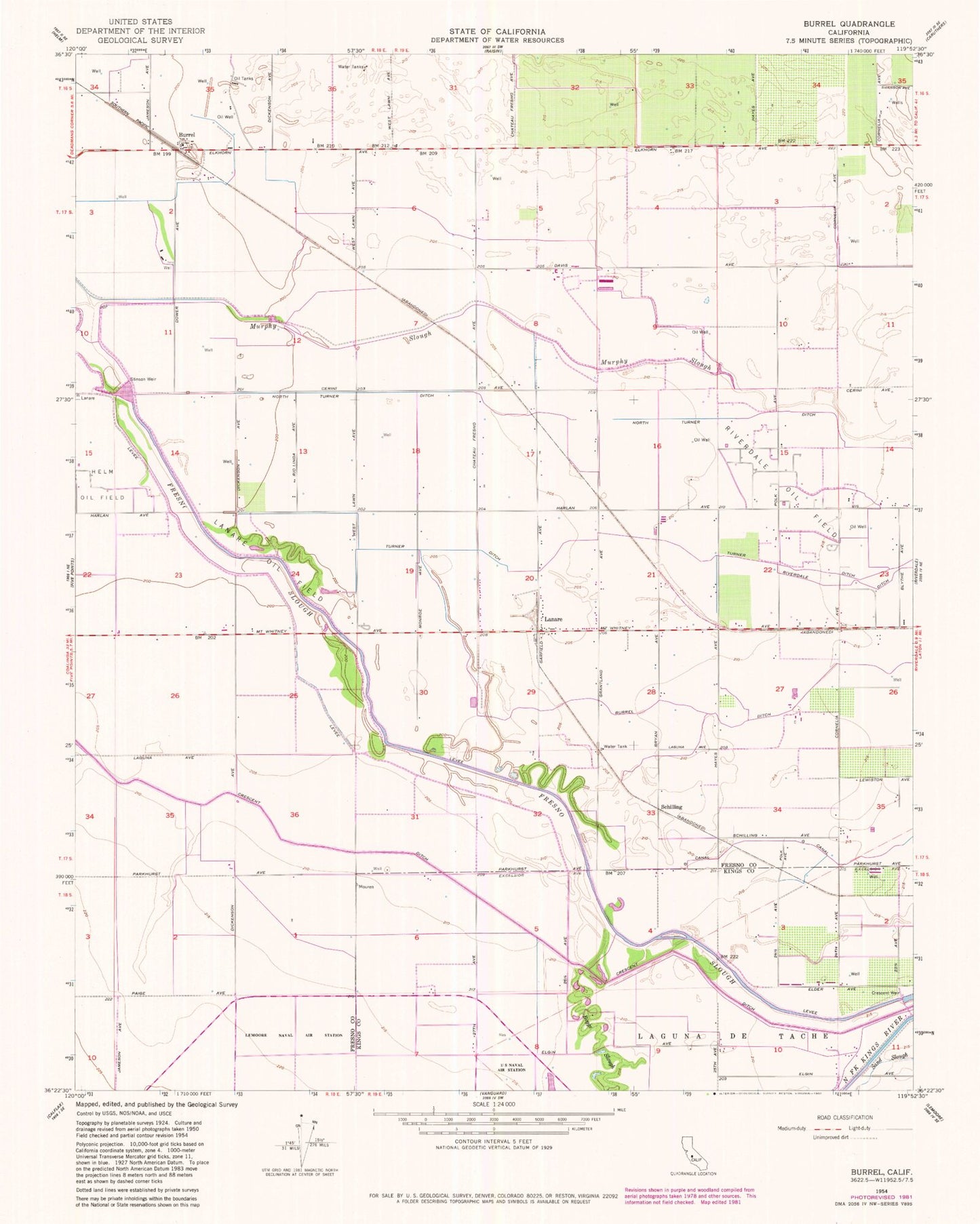
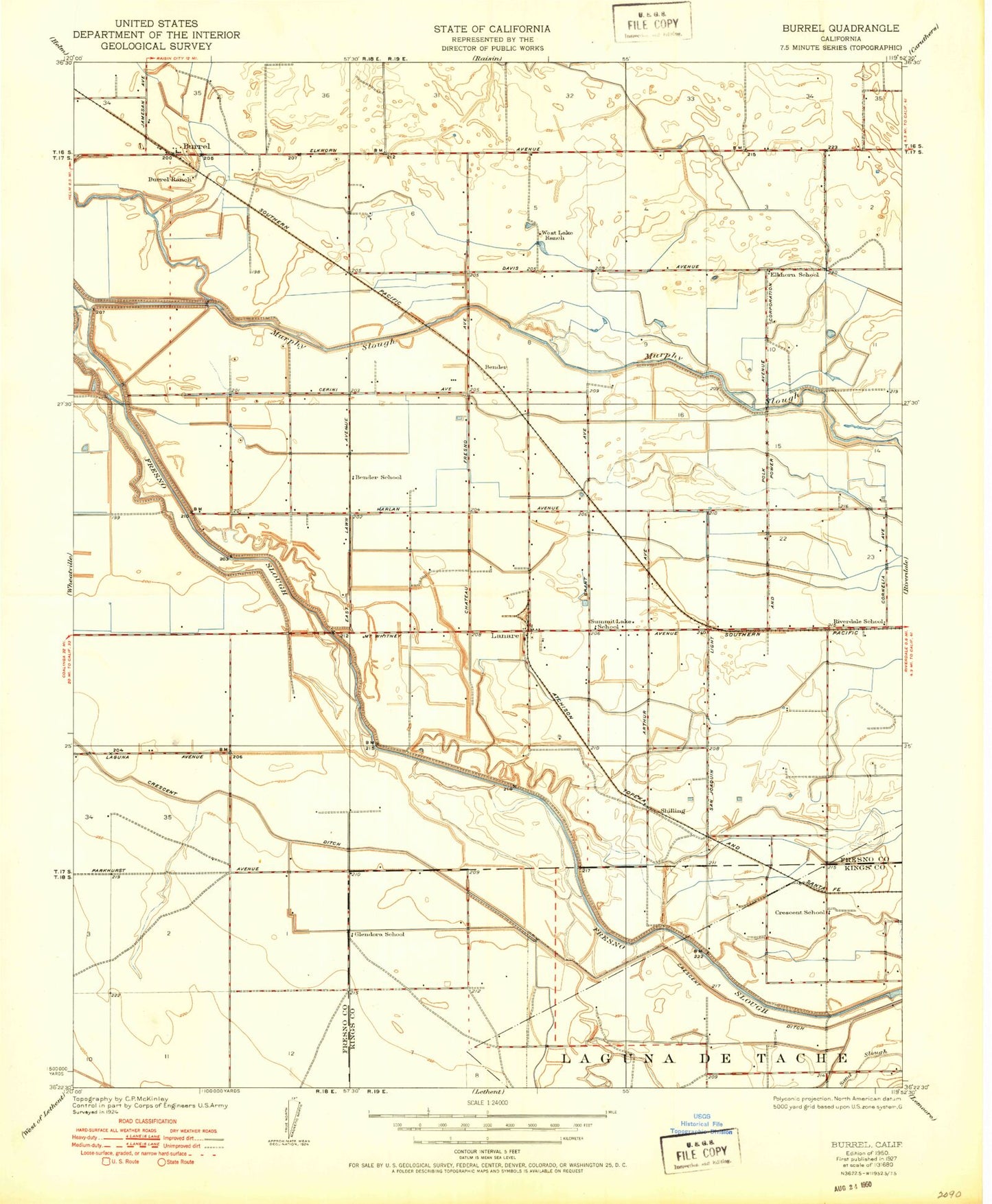
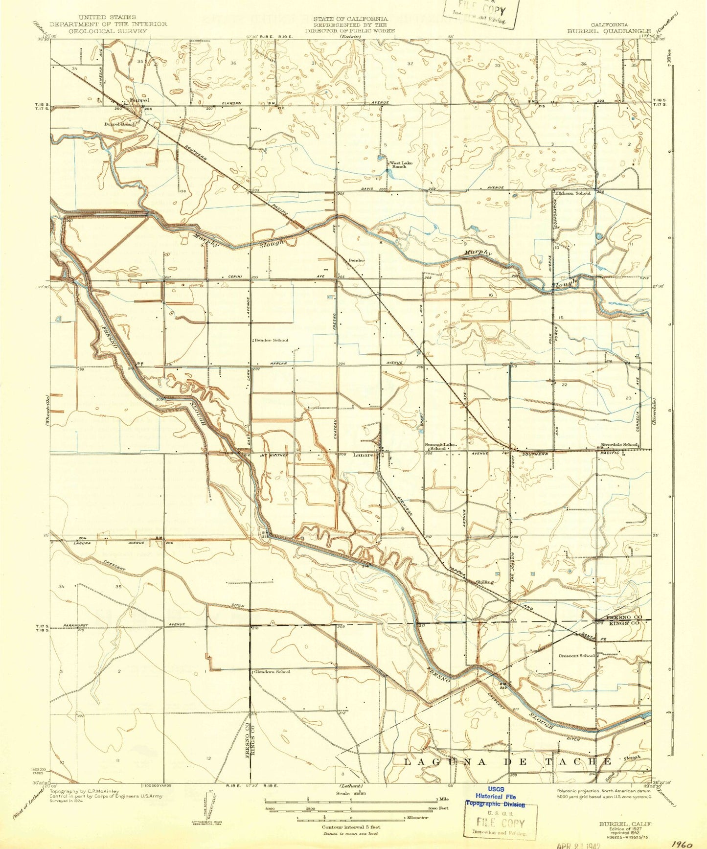
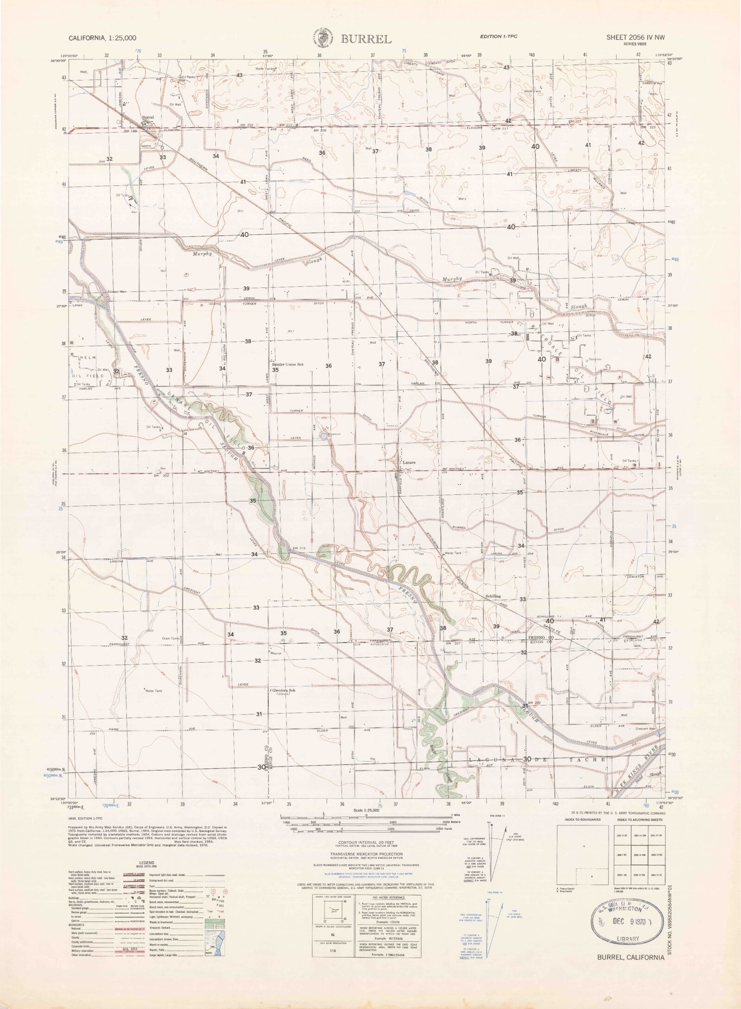
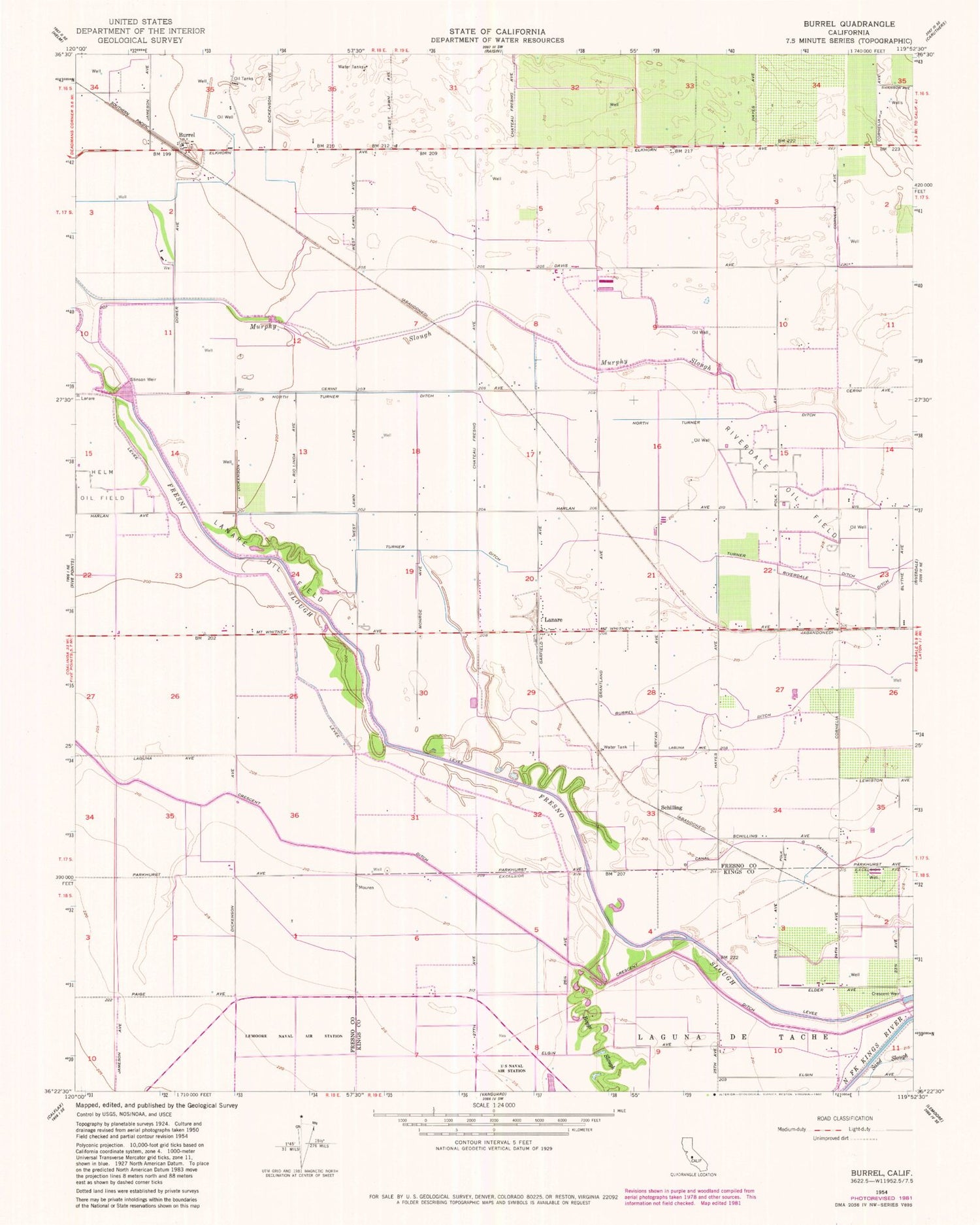
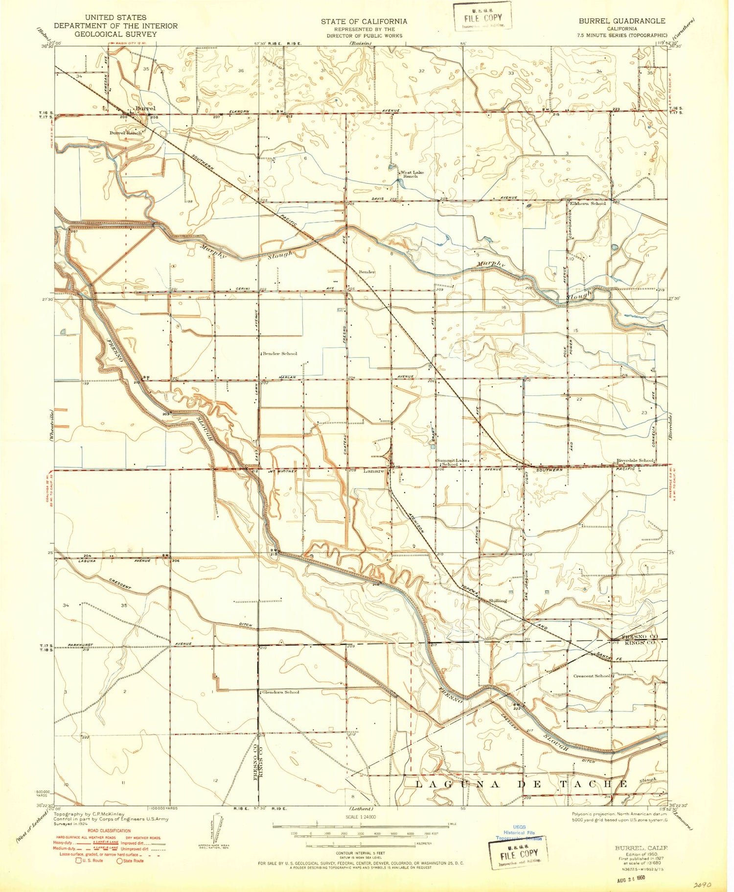
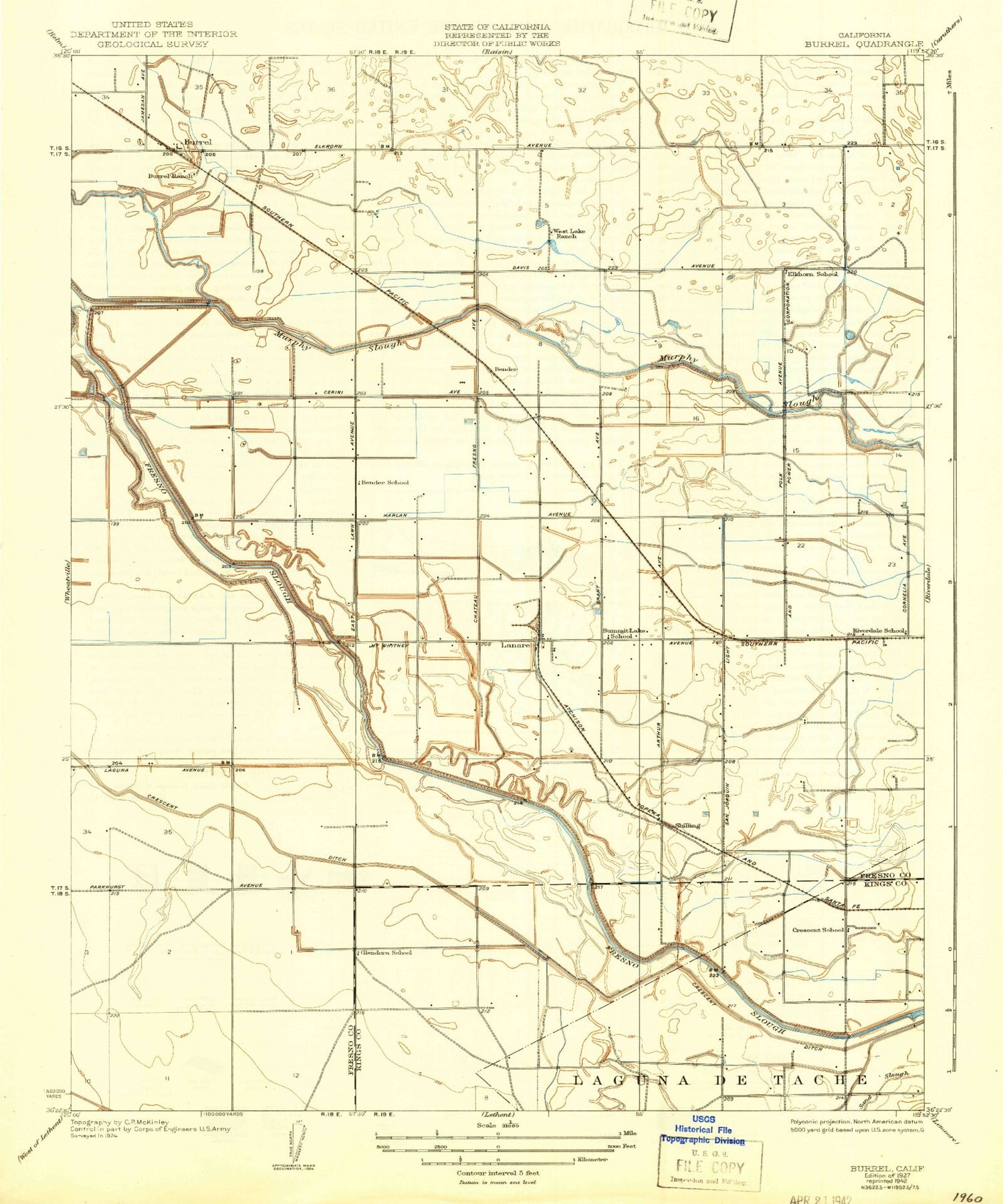
Classic USGS Burrel California 7.5'x7.5' Topo Map
Couldn't load pickup availability
Historical USGS topographic quad map of Burrel in the state of California. Map scale may vary for some years, but is generally around 1:24,000. Print size is approximately 24" x 27"
This quadrangle is in the following counties: Fresno, Kings.
The map contains contour lines, roads, rivers, towns, and lakes. Printed on high-quality waterproof paper with UV fade-resistant inks, and shipped rolled.
Contains the following named places: Bender, Bender School, Bender Union School, Burrel, Burrel Ditch, Burrel Ranch, Coelho Farms Dairy, Crescent School, Crescent Weir, Crescent Weir 84, Elkhorn School, Faull Slough, Fontes Dairy Farms Number 2, Glendora School, Lanare, Lanare Census Designated Place, Lanare Oil Field, Liberty Millrace Canal, Mick Olibeira Farm, Monteiro Brothers Dairy Number 1, Morning Star Dairy, Murphy Slough, North Turner Ditch, Reed Ditch, Riverdale Division, Riverdale Oil Field, Riverdale School, Ruann Dairy, Schilling, South Branch Summit Lake Ditch, Stinson Weir 696, Summit Lake School, Swanson Ranch Nr 2 Airport, Turner Ditch, Van Ness Slough, West Lake Ranch, ZIP Code: 93656
