MyTopo
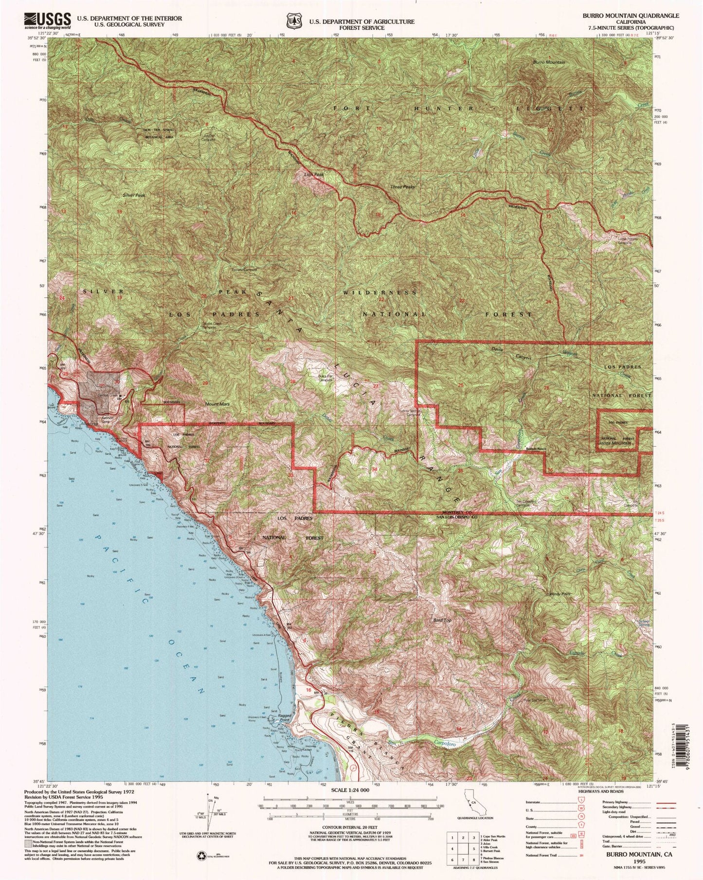
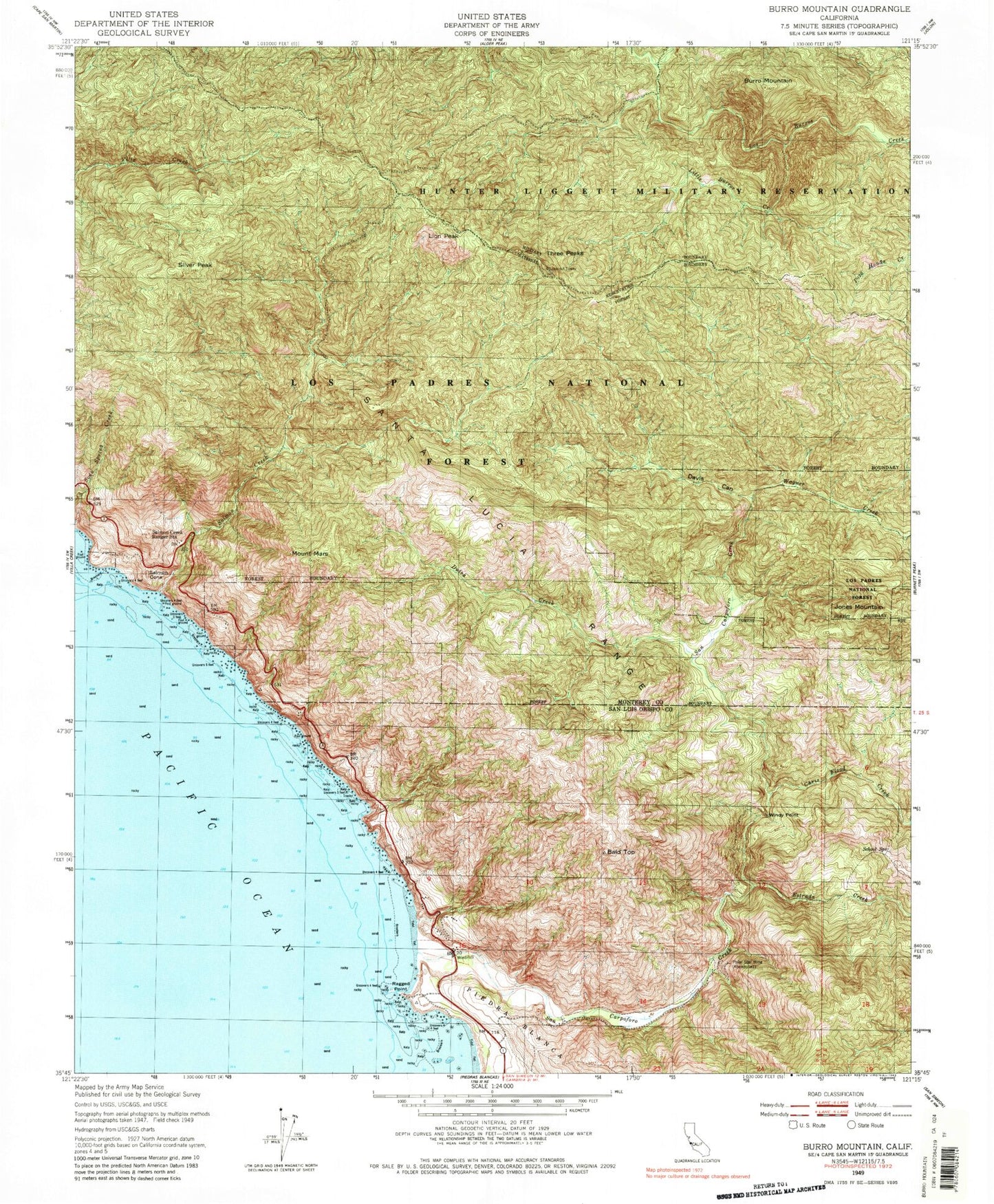
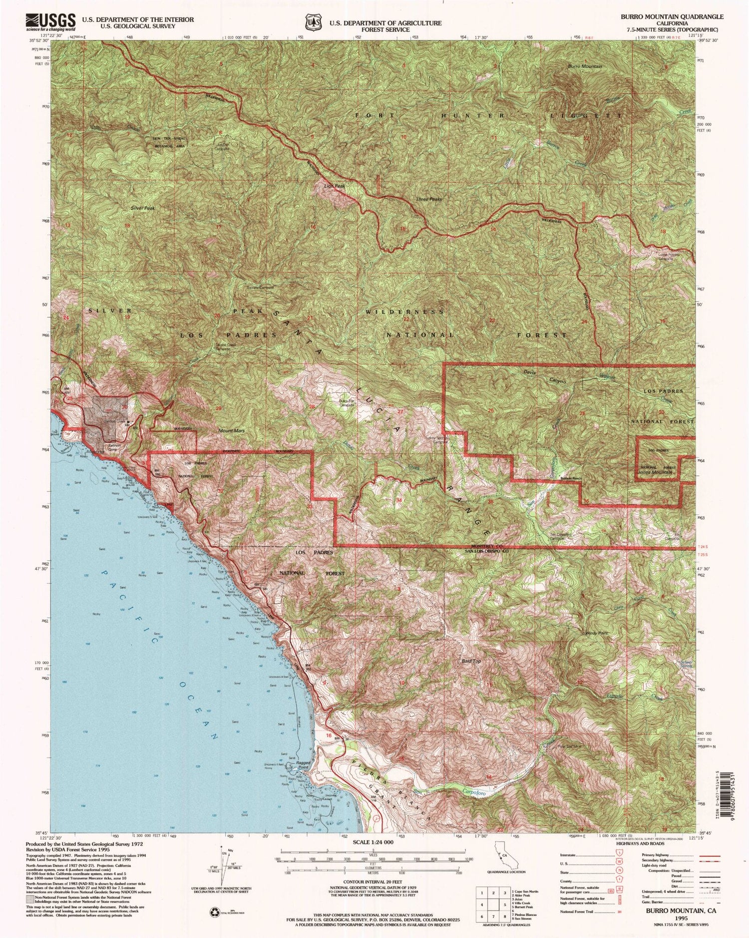
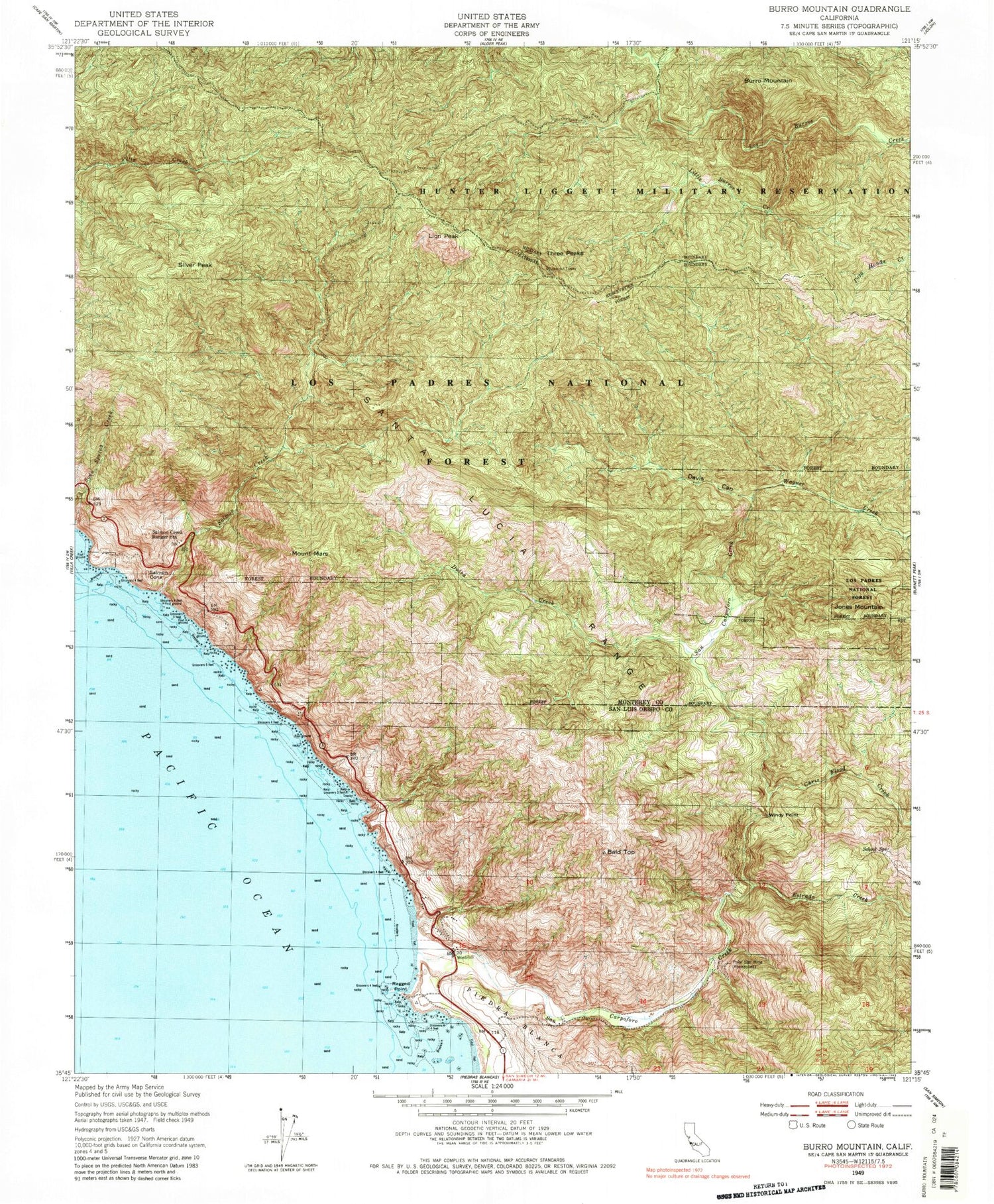
Classic USGS Burro Mountain California 7.5'x7.5' Topo Map
Couldn't load pickup availability
Historical USGS topographic quad map of Burro Mountain in the state of California. Typical map scale is 1:24,000, but may vary for certain years, if available. Print size: 24" x 27"
This quadrangle is in the following counties: Monterey, San Luis Obispo.
The map contains contour lines, roads, rivers, towns, and lakes. Printed on high-quality waterproof paper with UV fade-resistant inks, and shipped rolled.
Contains the following named places: Thorndyke Top, Salmon Head, White Rock Number One, Burro Mountain, Chris Flood Creek, Davis Canyon, Dutra Creek, Estrada Creek, Lion Peak, Little Burros Creek, Mount Mars, Polar Star Mine, Ragged Point, Salmon Creek, Salmon Creek Ranger Station, San Carpoforo Creek, School Spring, Silver Peak, Three Peaks, Wagner Creek, Windy Point, Turkey Springs Campground, San Carpoforo Campground, Elk Campground, Lions Den Campground, Three Peaks Campground, Lottie Potrero Campground, Spruce Campground, Estrella Campground, Dutra Flat Campground, Silver Creek Campground, Silver Peak Campground, Lions Den Campground, Dutra Flat Campground, Turkey Springs Campground, Spruce Campground, Estrella Campground, Bald Top, Jones Mountain, Salmon Cone, Calizona Mine, Dutra Place (historical), Ray Evans Ranch (historical), Old Jones Ranch (historical), Polar School (historical), W R Hearst Foremans Headquarters (historical), San Carpoforo Valley, Silver Peak Wilderness


