MyTopo
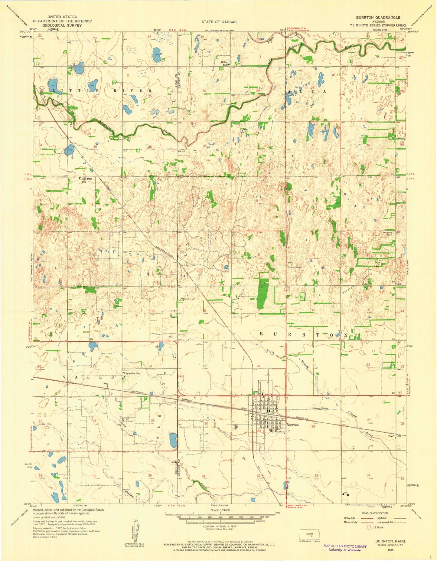
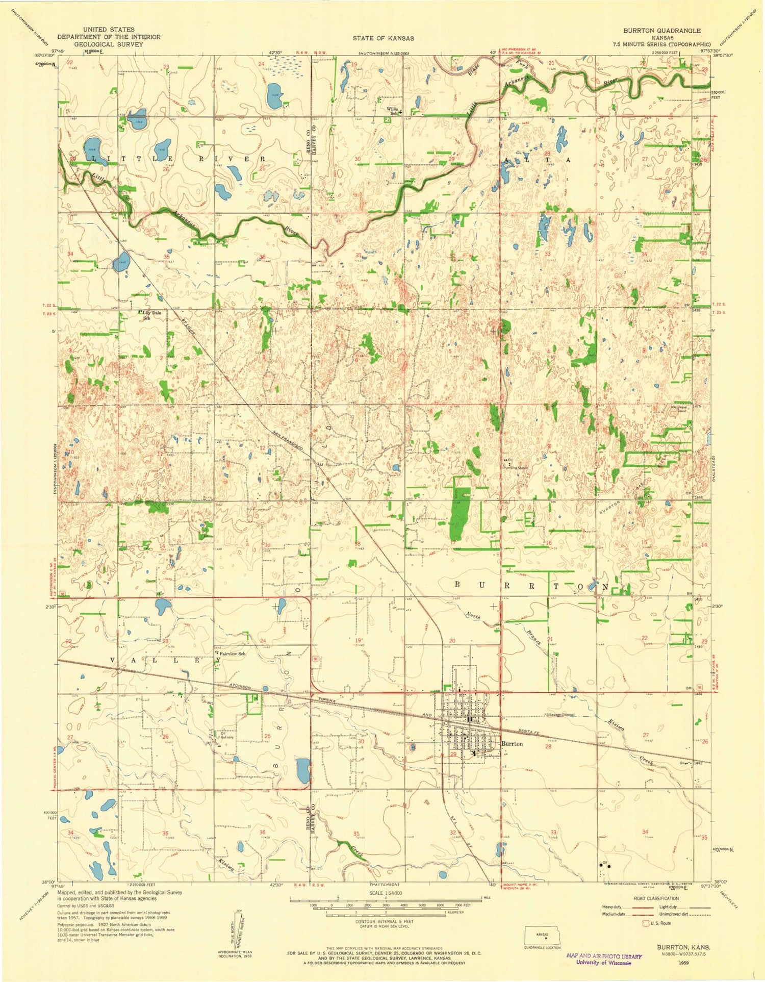
Classic USGS Burrton Kansas 7.5'x7.5' Topo Map
Couldn't load pickup availability
Historical USGS topographic quad map of Burrton in the state of Kansas. Map scale may vary for some years, but is generally around 1:24,000. Print size is approximately 24" x 27"
This quadrangle is in the following counties: Harvey, Reno.
The map contains contour lines, roads, rivers, towns, and lakes. Printed on high-quality waterproof paper with UV fade-resistant inks, and shipped rolled.
Contains the following named places: Blaze Fork, Burrton, Burrton Ambulance Department, Burrton Cemetery, Burrton City Hall, Burrton Elementary School, Burrton Gas Field, Burrton Mennonite Church, Burrton Middle / High School, Burrton Police Department, Burrton Post Office, Burrton Senior Center, Burrton Sewer Treatment Plant, Burrton United Methodist Church, City of Burrton, Fairview Elementary School, Faith Community Bible Church, First Christian Church, Flugplatz Airport, Harvey Fire District 5, Lily Dale School, Township of Burrton, Township of Little River, Willis School, ZIP Codes: 67020, 67522