MyTopo
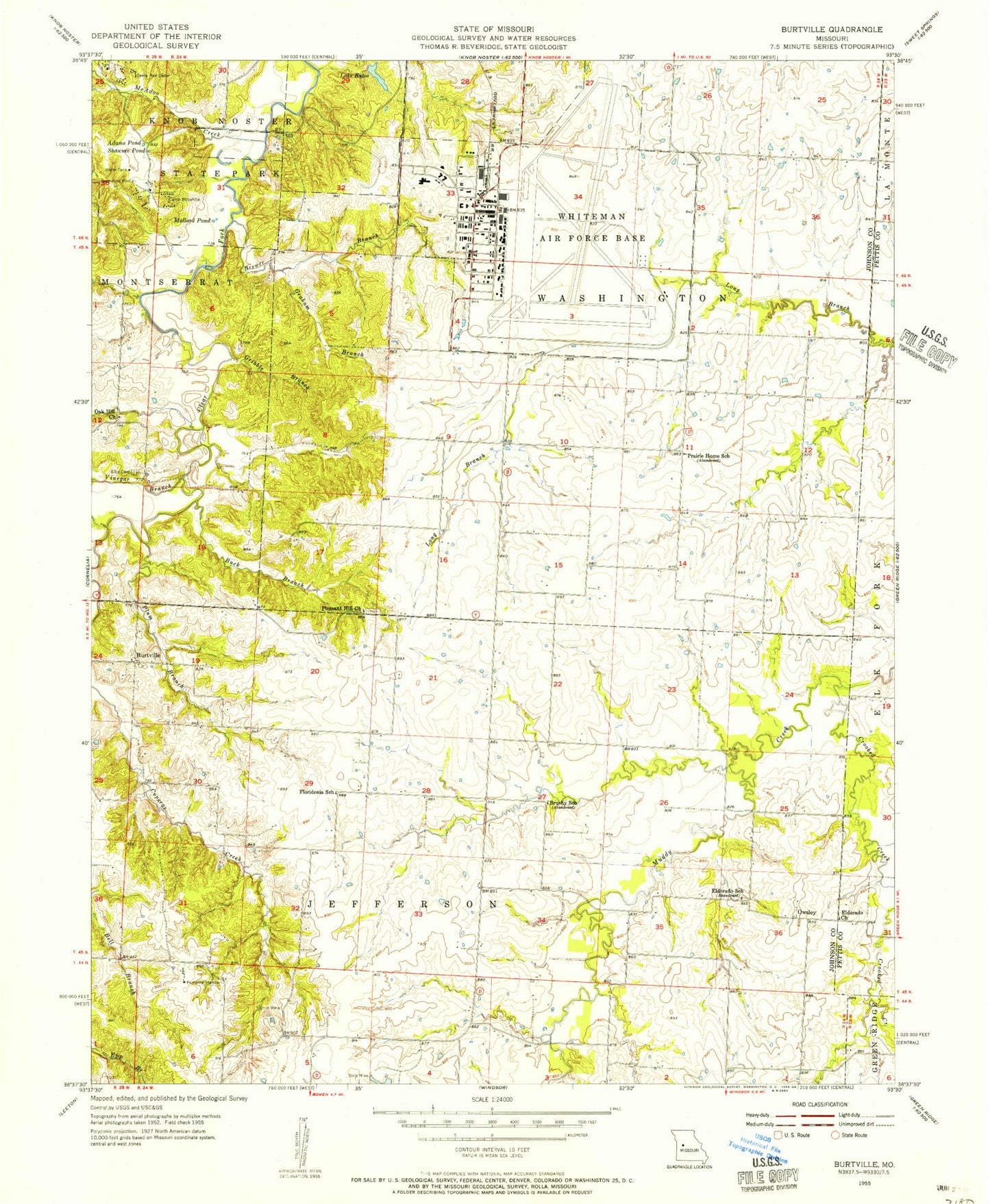
Classic USGS Burtville Missouri 7.5'x7.5' Topo Map
Couldn't load pickup availability
Historical USGS topographic quad map of Burtville in the state of Missouri. Typical map scale is 1:24,000, but may vary for certain years, if available. Print size: 24" x 27"
This quadrangle is in the following counties: Johnson, Pettis.
The map contains contour lines, roads, rivers, towns, and lakes. Printed on high-quality waterproof paper with UV fade-resistant inks, and shipped rolled.
Contains the following named places: Adams Pond, Brewer Branch, Brushy School (historical), Buck Branch, Lake Buteo, Camp Bob White, Camp Red Cedar, Crooked Creek, Eldorado Church, Eldorado School (historical), Ellis Cemetery, Graham Branch, Gribble Branch, Mallard Pond, McAdoo Creek, Pleasant Hill Church, Plum Branch, Shawnee Pond, Vinegar Branch, Floridonia School (historical), Knob Noster State Park, Oak Hill Church, Prairie Home School (historical), Charles (historical), Burtville, Owsley, Charles Post Office (historical), Diamond Point School (historical), Woolery School (historical), Fair Play School (historical), Lake Sexton Airport, Sexton Lake Dam, Sexton Lake, Lake Buteo Dam, Roberts Hunter Lake Dam, Number 425 Dam, Shirley Lake Dam, Shirley Lake, Kranz Lake Dam, Kranz Lake, Hall Lake Dam, Township of Washington, Whiteman Air Force Base Census Designated Place, Whiteman Air Force Base, Whiteman Air Force Base Elementary School, Whiteman Air Force Base Fire Emergency Services, Whiteman Air Force Base, Whiteman Air Force Base New Post Office


