MyTopo
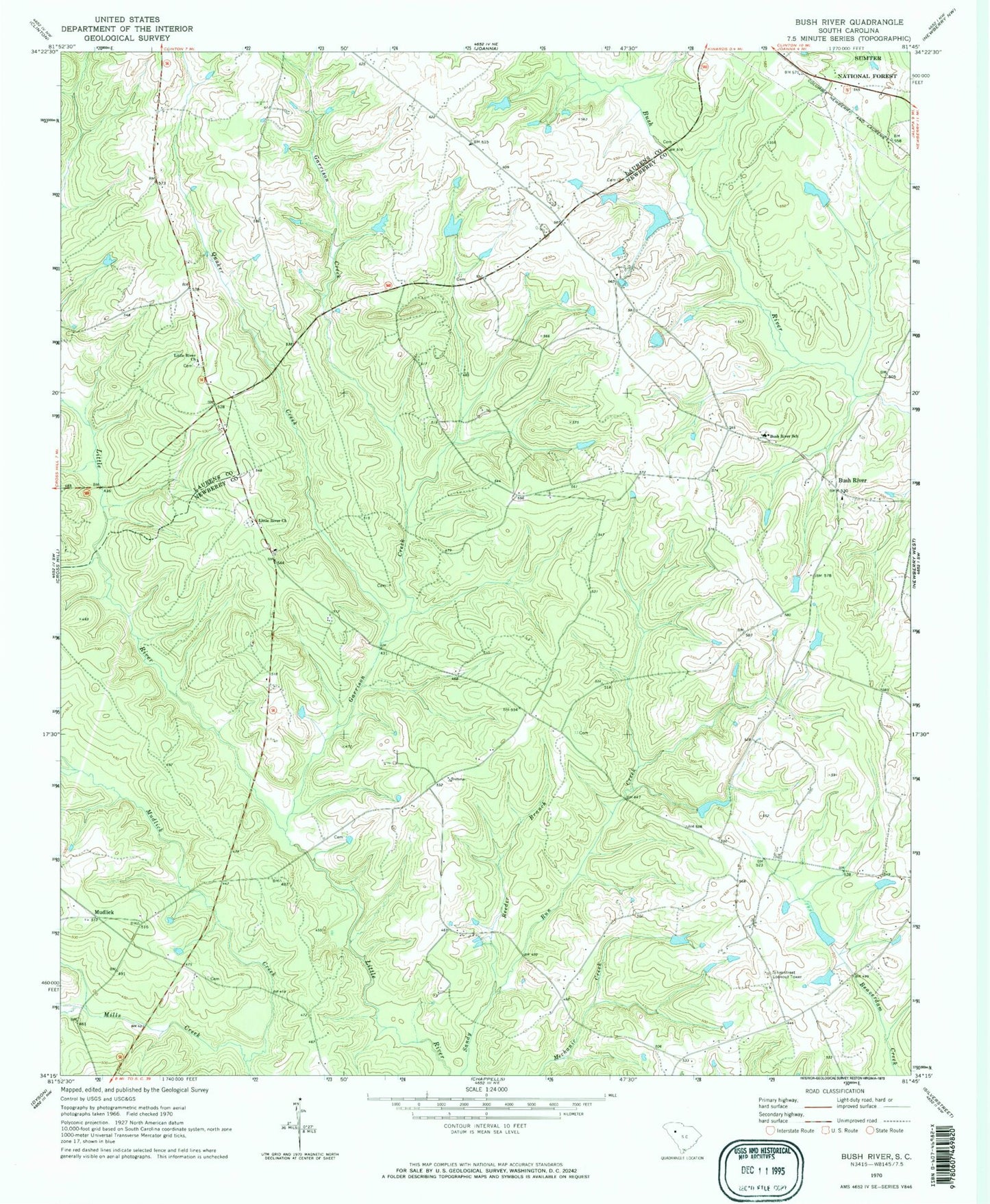
Classic USGS Bush River South Carolina 7.5'x7.5' Topo Map
Couldn't load pickup availability
Historical USGS topographic quad map of Bush River in the state of South Carolina. Map scale may vary for some years, but is generally around 1:24,000. Print size is approximately 24" x 27"
This quadrangle is in the following counties: Laurens, Newberry.
The map contains contour lines, roads, rivers, towns, and lakes. Printed on high-quality waterproof paper with UV fade-resistant inks, and shipped rolled.
Contains the following named places: Adams Pond D-1467 Dam, Bedenbaugh Pond Dam Number One D-3003, Bedenbaugh Pond Dam Number Two D-3002, Bedenbaugh Pond Number One, Bedenbaughs Pond Number Two, Belfast School, Belmont School, Boyd Pond Dam D-3004, Boyds Pond, Bush River, Bush River Baptist Church, Bush River Quaker Cemetery, Bush River School, Connelly Field, Dominick School, Fairview Church, Garrison Creek, Harmons Mill, Joanna Fire Department Station 2 - Belfast, Little River Cemetery, Little River Church, Longshore Number One D-1468 Dam, Longshore Number Two D-1469 Dam, Mills Creek, Mudlick, Mudlick School, Quaker Creek, Reeder Branch, Sandhill Farms Pond, Sexton Airport, Silverstreet Lookout Tower, Smiths Pond, Smiths Pond D-1668 Dam, South Carolina Noname 36012 Dam, ZIP Code: 29355