MyTopo
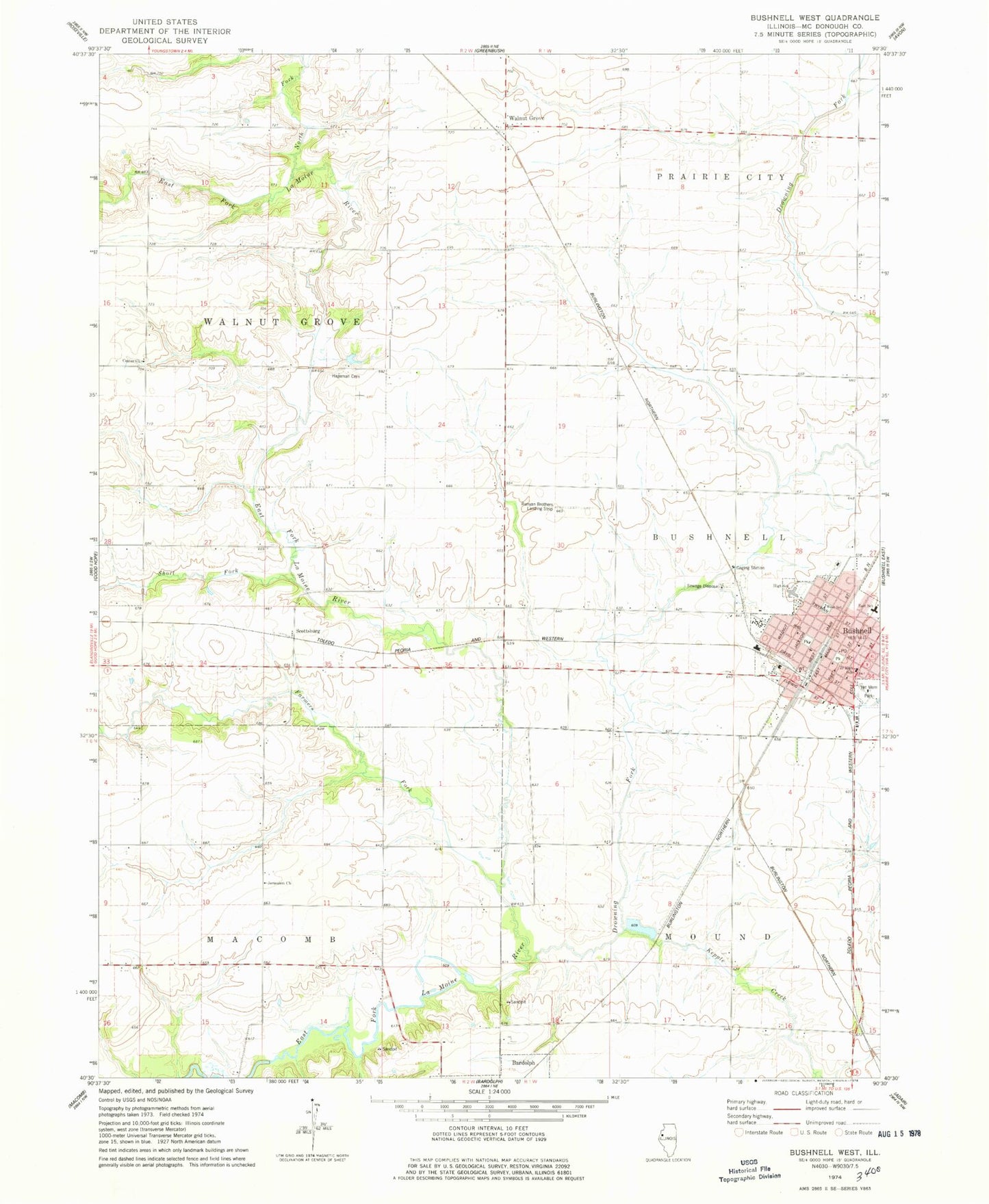
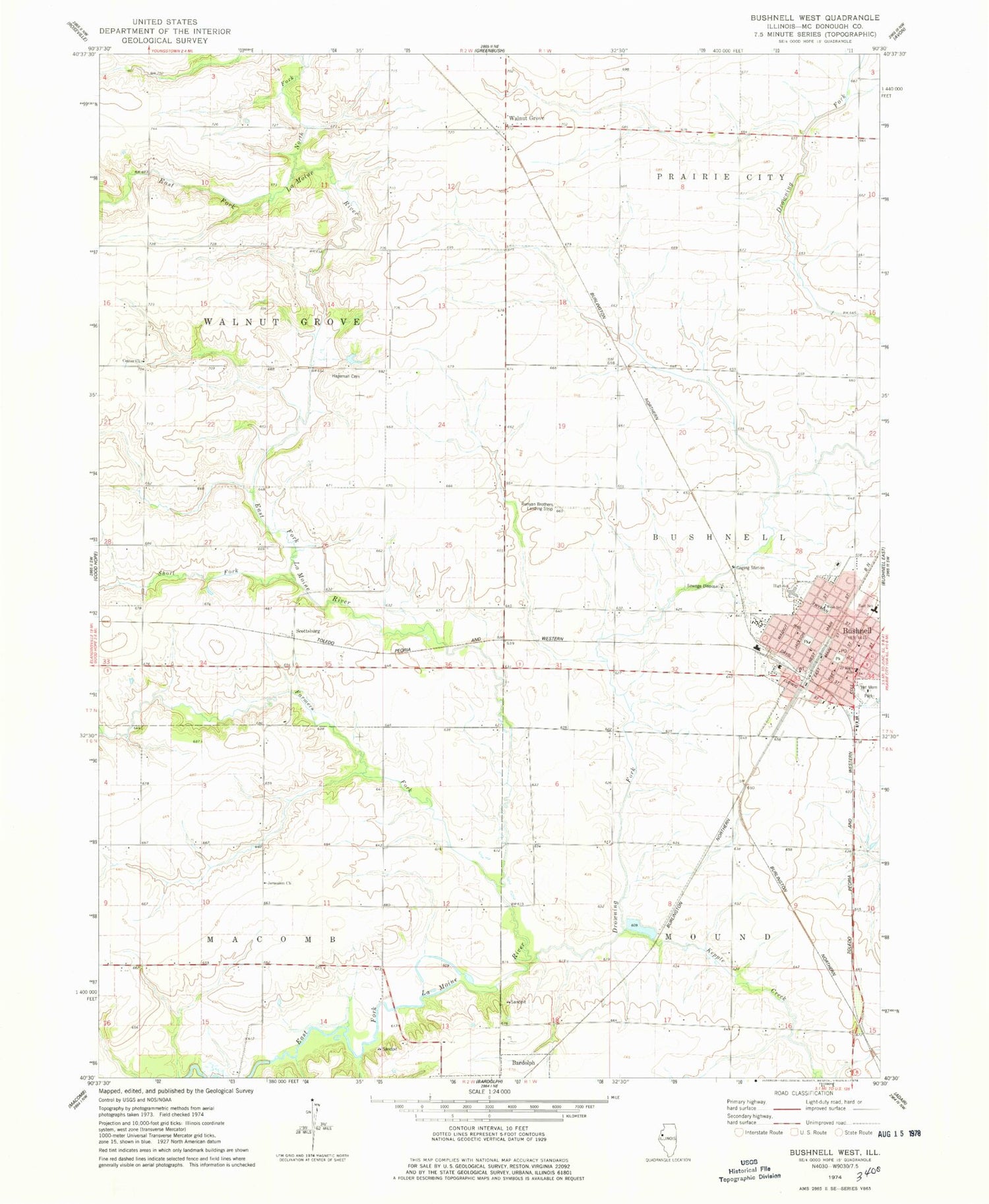
Classic USGS Bushnell West Illinois 7.5'x7.5' Topo Map
Couldn't load pickup availability
Historical USGS topographic quad map of Bushnell West in the state of Illinois. Map scale may vary for some years, but is generally around 1:24,000. Print size is approximately 24" x 27"
This quadrangle is in the following counties: McDonough.
The map contains contour lines, roads, rivers, towns, and lakes. Printed on high-quality waterproof paper with UV fade-resistant inks, and shipped rolled.
Contains the following named places: Aberghast Pearce Cemetery, Birds School, Bushnell, Bushnell Assembly of God Church, Bushnell Baptist Chapel, Bushnell Christian Church, Bushnell Fire Protection District Station 1, Bushnell Fire Protection District Station 2, Bushnell Police Department, Bushnell Post Office, Bushnell United Methodist Church, Bushnell-Prairie City Elementary School, Bushnell-Prairie City High School, Center Church, Center School, Church of the Nazarene, City of Bushnell, Deckers School, Drowning Fork, Dutch Reformed Church, Emory School, Farmers Fork, First Church of God, First United Presbyterian Church, German Methodist Episcopal Church, Hageman Cemetery, Jerusalem United Methodist Church, Kepple Creek, Locust School, Lynn Grove Methodist Episcopal Church, Lynn Grove School, Maple Grove School, Mount Pisgah Evangelical Lutheran Church, Mount Solan School, North Fork East Fork La Moine River, Pittinger School, Possum Hollow School, Railroad School, Runyan Aviation, Saint Bernard Catholic Church, School Number 5, Scottsburg, Scottsburg School, Short Fork, Solon - Robinson Cemetery, Town Fork, Township of Bushnell, Township of Macomb, Township of Prairie City, Township of Walnut Grove, Veterans Memorial Park, Walnut Grove, Walnut Grove United Methodist Church, Ward School, West School, ZIP Codes: 61422, 61470


