MyTopo
Classic USGS Butch Reservoir Montana 7.5'x7.5' Topo Map
Regular price
$16.95
Regular price
Sale price
$16.95
Unit price
per
Couldn't load pickup availability
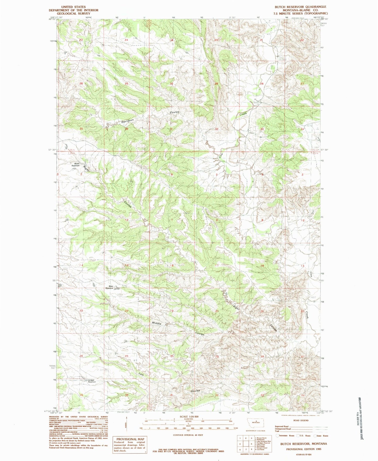
Historical USGS topographic quad map of Butch Reservoir in the state of Montana. Map scale may vary for some years, but is generally around 1:24,000. Print size is approximately 24" x 27"
This quadrangle is in the following counties: Blaine.
The map contains contour lines, roads, rivers, towns, and lakes. Printed on high-quality waterproof paper with UV fade-resistant inks, and shipped rolled.
Contains the following named places: 26N20E36ADCC01 Well, Butch Reservoir, Cow Creek Airport, Cow Creek School, Davidson Coulee, Juniper Reservoir, Left Coulee, Left Coulee Airport, Middle Coulee, Right Coulee, Suction Creek, Wren Reservoir