MyTopo
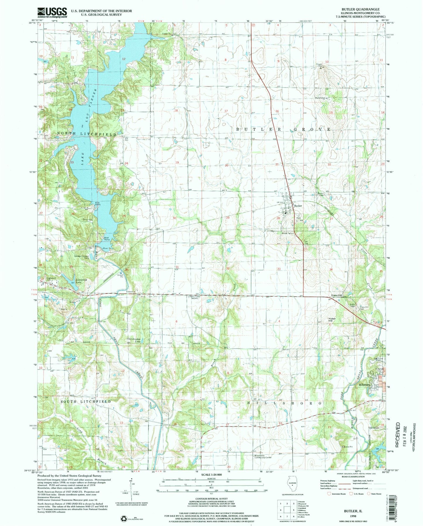
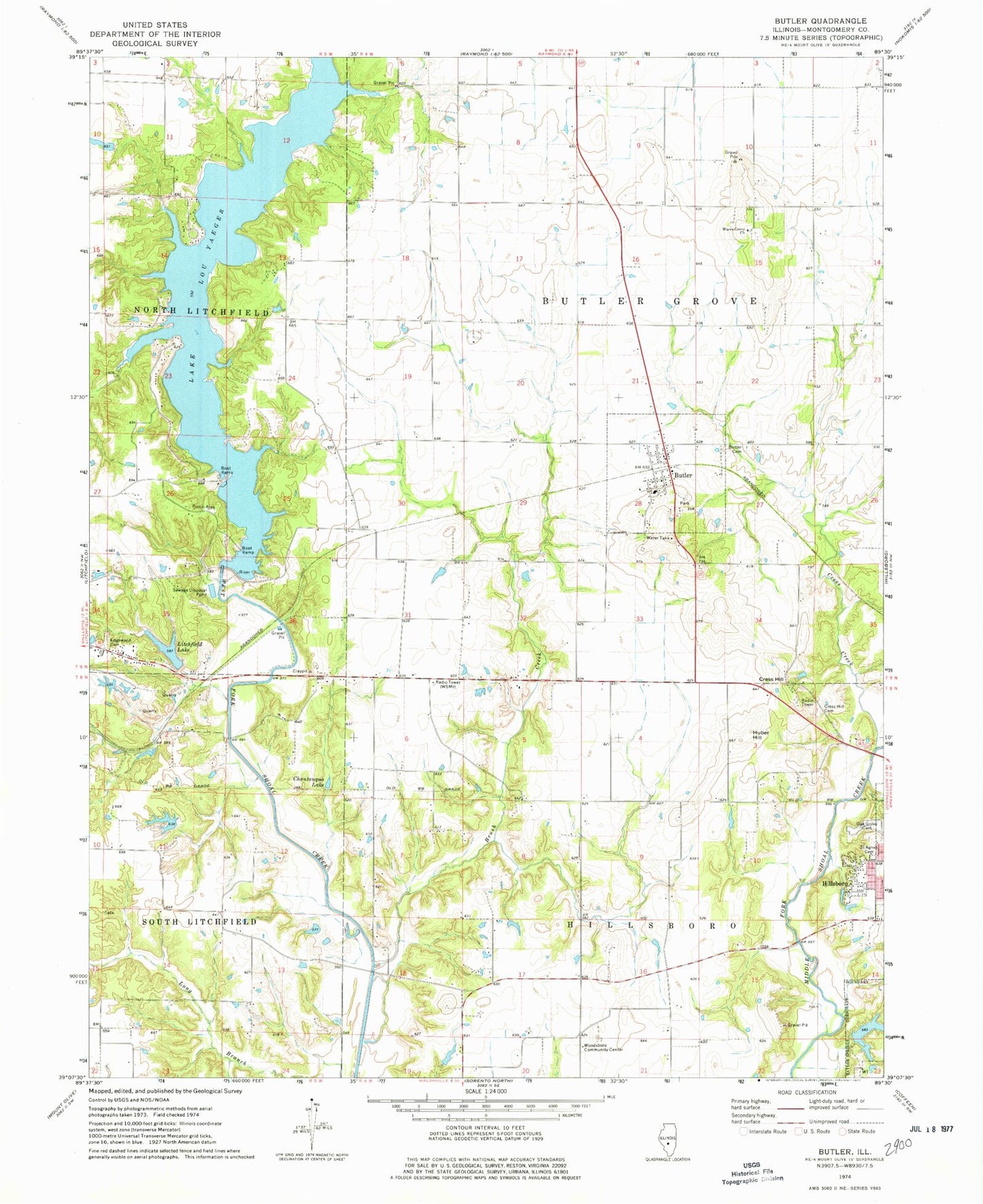
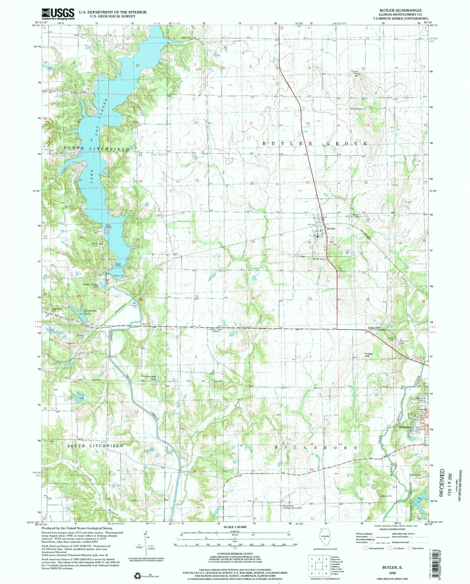
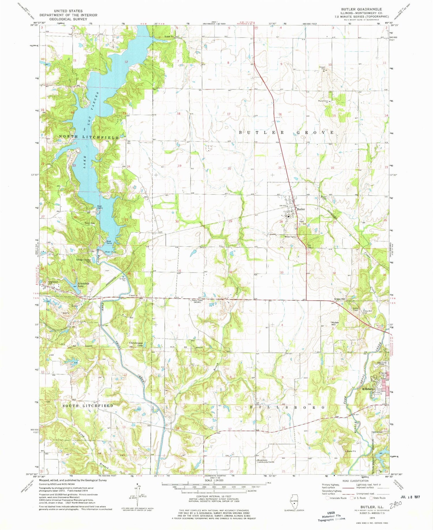
Classic USGS Butler Illinois 7.5'x7.5' Topo Map
Couldn't load pickup availability
Historical USGS topographic quad map of Butler in the state of Illinois. Typical map scale is 1:24,000, but may vary for certain years, if available. Print size: 24" x 27"
This quadrangle is in the following counties: Montgomery.
The map contains contour lines, roads, rivers, towns, and lakes. Printed on high-quality waterproof paper with UV fade-resistant inks, and shipped rolled.
Contains the following named places: Beckemeyer Elementary School, Brush Creek, Butler, Blooming Grove Cemetery, Chautauqua Lake, Cress Creek, Cress Hill, Cress Hill Cemetery, Edgewood Cemetery, Huber Hill, Litchfield Lake, Lake Lou Yaeger, Oak Grove Cemetery, Saint Agnes Cemetery, Wares Grove Church, Woodsboro Community Center, WSMI-AM (Litchfield), Township of Butler Grove, Township of Hillsboro, Shoal Creek Watershed Impoundment Reservoir, Lake Lou Yaeger Dam, Litchfield City Lake Dam, Wayne Helen Lake Dam, Wayne Helen Lake, American Zinc Smelter Company Large Lake Dam, American Zinc Smelter Company Large Lake, Brush Branch School (historical), Chautauqua Park (historical), Cherry Grove School (historical), Enterprise School (historical), Flat School (historical), Mount Gilead School (historical), Oak Grove School (historical), Victory School (historical), Ware Grove School (historical), Woodsboro School (historical), Island View, Marina Number 1, Marina Number 2, Rainmaker Camp, Shoal Creek Nature Conservation Area, Stagecoach Junction, Sunrise Hills, Wares Grove Cemetery, City of Litchfield, Village of Butler, Justison Airport, Butler Post Office


