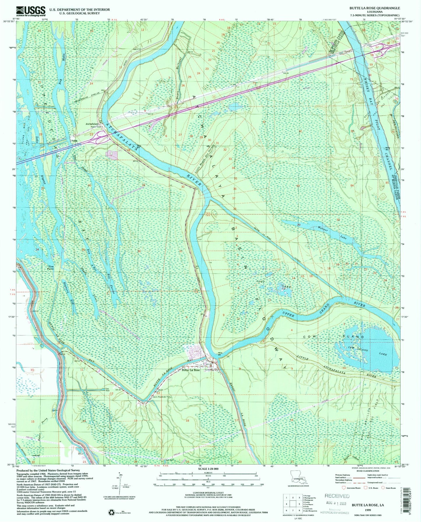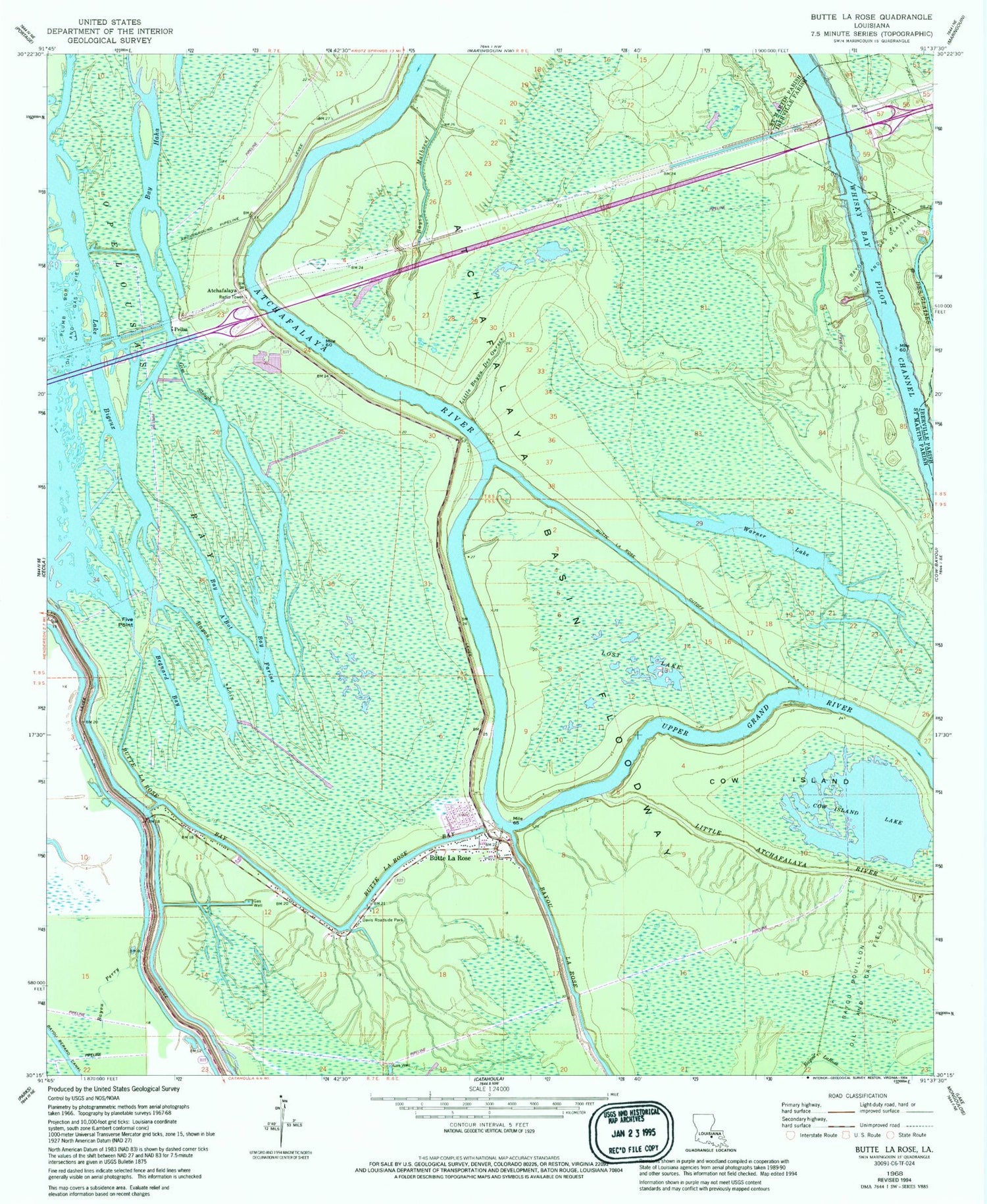
MyTopo
Classic USGS Butte La Rose Louisiana 7.5'x7.5' Topo Map
Couldn't load pickup availability
Historical USGS topographic quad map of Butte La Rose in the state of Louisiana. Typical map scale is 1:24,000, but may vary for certain years, if available. Print size: 24" x 27"
This quadrangle is in the following counties: Iberville, St. Martin.
The map contains contour lines, roads, rivers, towns, and lakes. Printed on high-quality waterproof paper with UV fade-resistant inks, and shipped rolled.
Contains the following named places: Butte La Rose Cemetery, Crusel (historical), Des Ours Mill (historical), Lake Pelba, Pelba, Atchafalaya, Atchafalaya River, Bay A'Bot, Bay Farine, Bay Haha, Bay Sirius, Bayou Berard Canal, Bayou La Rose, Bayou Loin, Bayou Malboeuf, Bayou Perry, Begnard Bay, Butte La Rose, Butte La Rose Bay, Butte La Rose Cutoff, Cow Island, Cow Island Lake, Davis Roadside Park, Five Point, Gin Slough, Little Bayou Des Ourses, Lost Lake, Opelousas Bay, Warner Lake, Butte Larose Volunteer Fire Department, Atchasalauga Acres Mobile Home Park