MyTopo
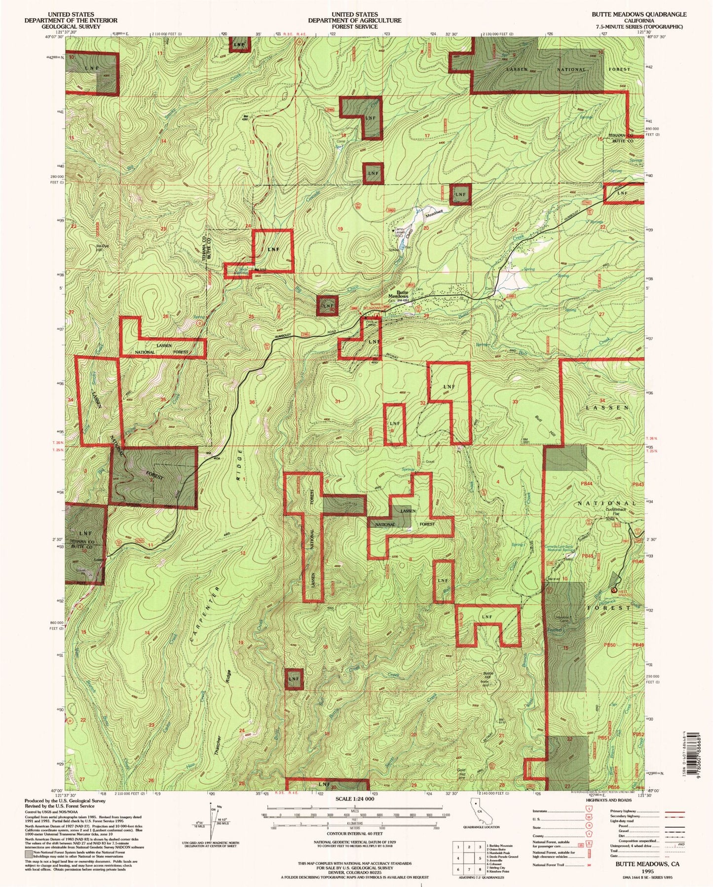
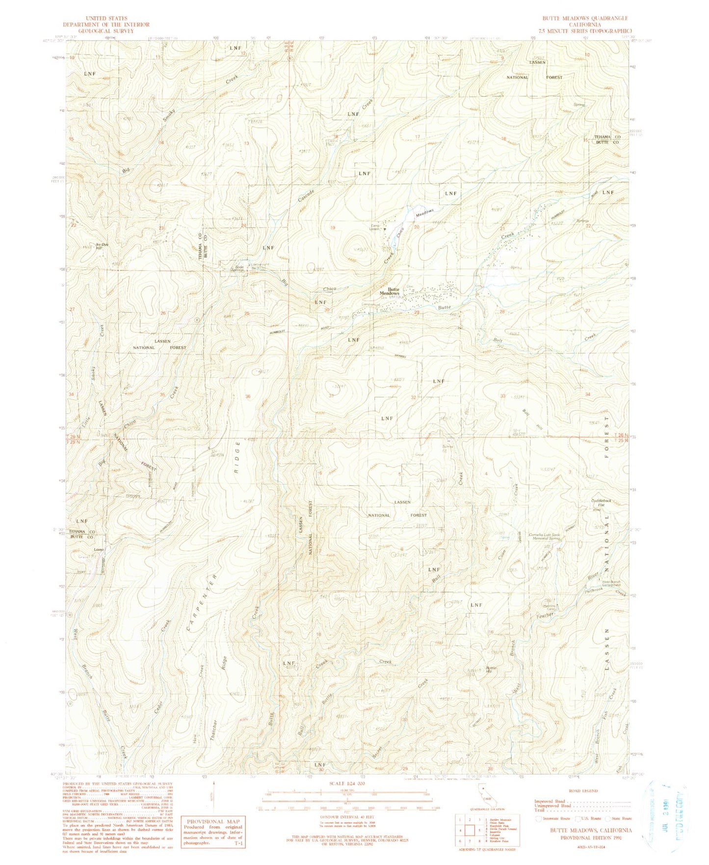
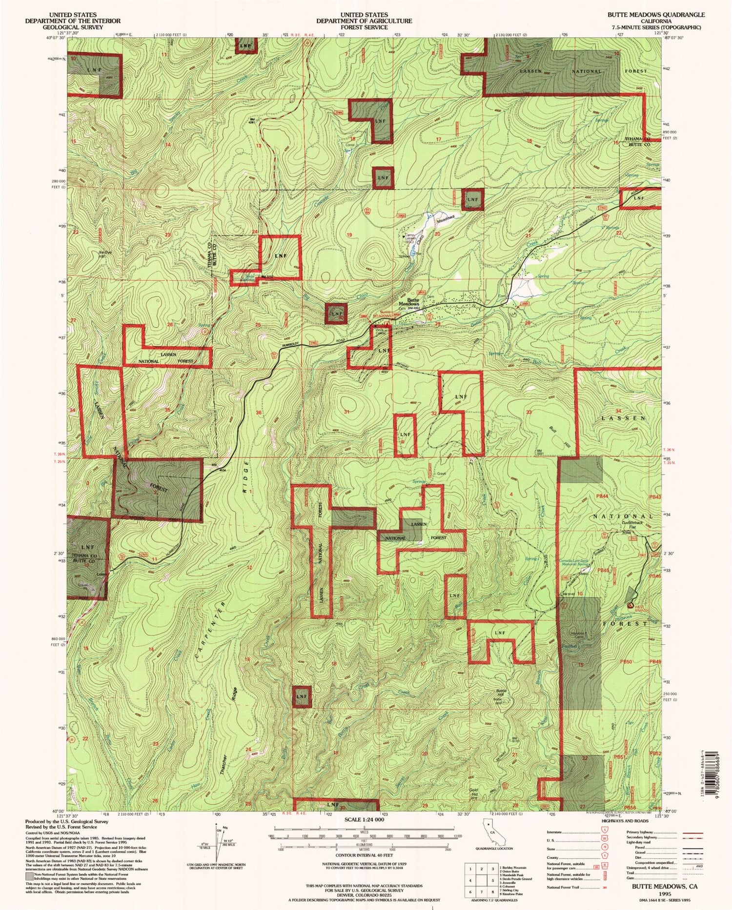
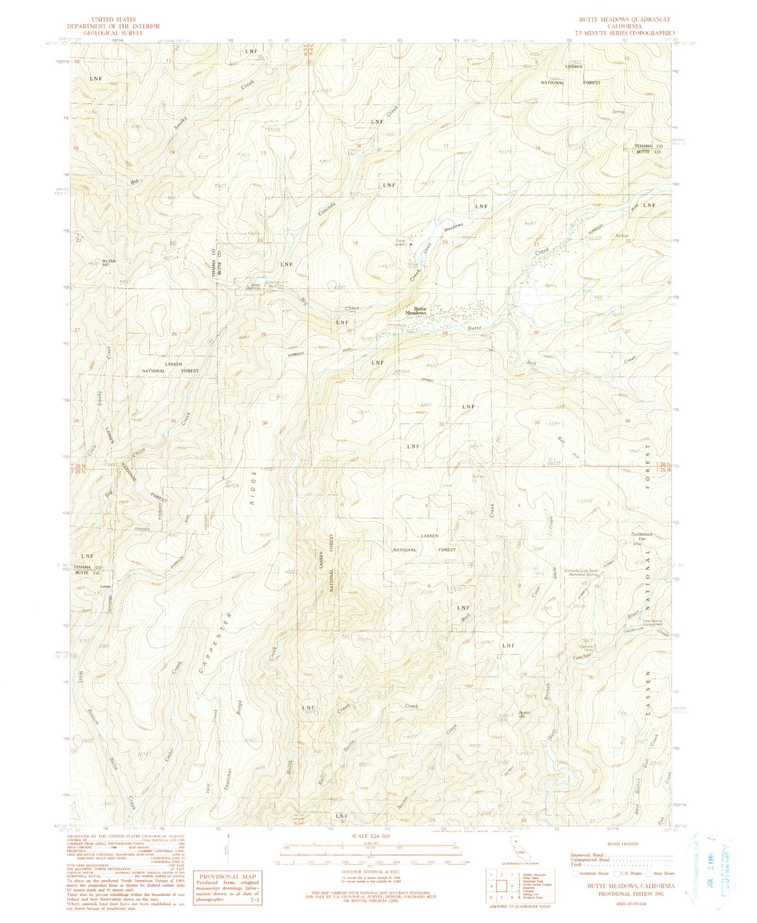
Classic USGS Butte Meadows California 7.5'x7.5' Topo Map
Couldn't load pickup availability
Historical USGS topographic quad map of Butte Meadows in the state of California. Typical map scale is 1:24,000, but may vary for certain years, if available. Print size: 24" x 27"
This quadrangle is in the following counties: Butte, Tehama.
The map contains contour lines, roads, rivers, towns, and lakes. Printed on high-quality waterproof paper with UV fade-resistant inks, and shipped rolled.
Contains the following named places: Soda Springs, Butte Meadows Campground, Thatcher Ridge, Bolt Creek, Bottle Creek, Bottle Hill, Bull Creek, Bull Hill, Butte Meadows, Camp Lassen, Carpenter Ridge, Cascade Creek, Cedar Creek, Chaparral Guard Station, Chico Meadows, Coon Creek, Cuddleback Flat, Hawkins Camp, Ike Dye Hill, Lomo, Cornelia Lott Sank Memorial Spring, Philbrook Creek, Secret Creek, West Branch Camp, Butte Meadows Recreation Site, Soda Springs Campground, Soda Springs Campground, Glenburn, Butte Meadows Post Office (historical), Butte Meadows Census Designated Place, Butte County Fire Department Station 10, Department of Forestry and Fire Protection United States Forest Service Butte Meadows


