MyTopo
Classic USGS Butternut Michigan 7.5'x7.5' Topo Map
Couldn't load pickup availability
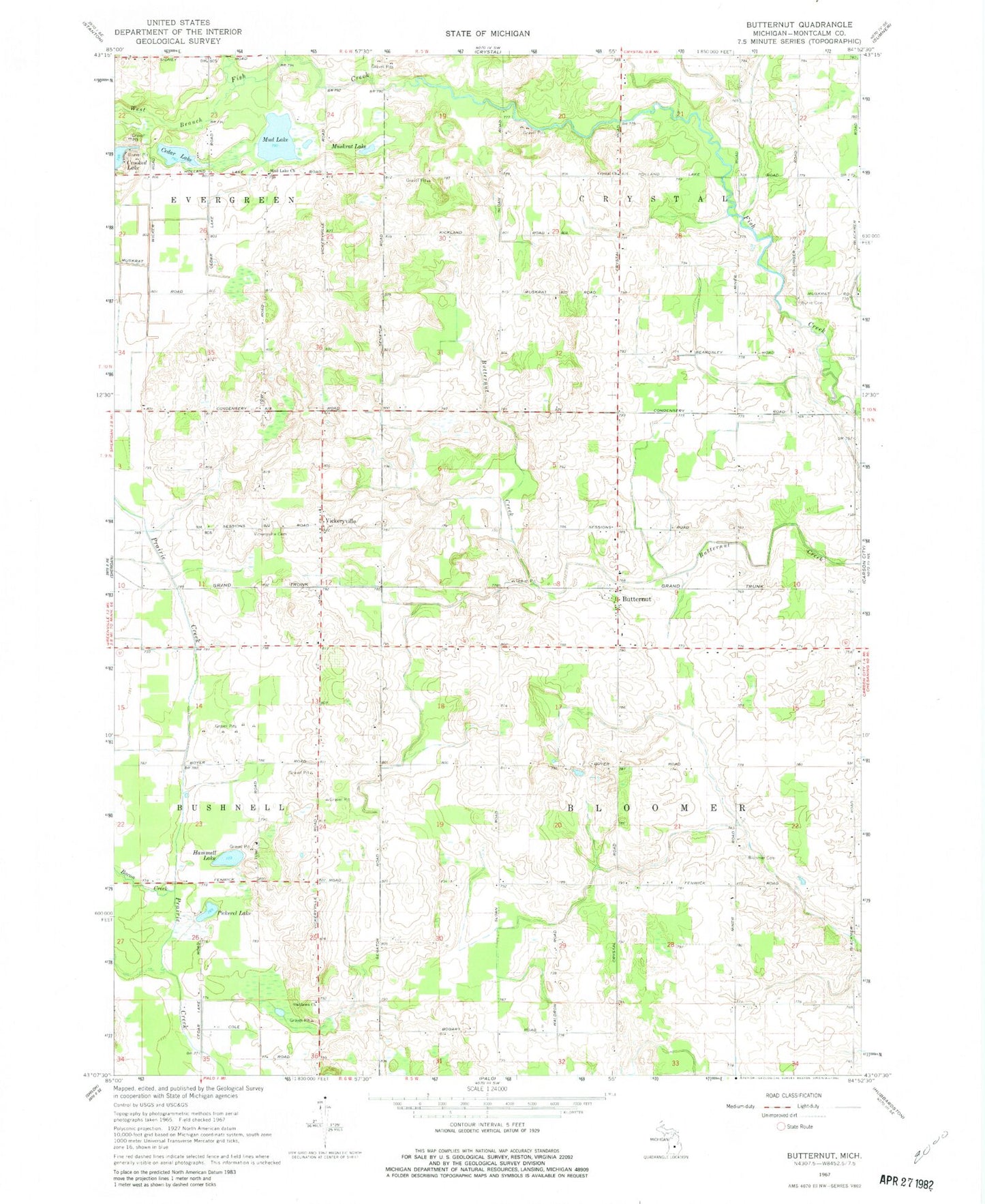
Historical USGS topographic quad map of Butternut in the state of Michigan. Map scale may vary for some years, but is generally around 1:24,000. Print size is approximately 24" x 27"
This quadrangle is in the following counties: Montcalm.
The map contains contour lines, roads, rivers, towns, and lakes. Printed on high-quality waterproof paper with UV fade-resistant inks, and shipped rolled.
Contains the following named places: Bacon Creek, Bloomer Cemetery, Bloomer Post Office, Burke Cemetery, Butternut, Butternut Post Office, Butternut Station, Cedar Lake, Church of Brethren, Crystal Cemetery, Hammell Lake, Mayes Airport, Mud Lake, Mud Lake Church, Muskrat Lake, Oaklawn Church, Pickerel Lake, Township of Bloomer, Township of Crystal, Vickeryville, Vickeryville Cemetery, Vickeryville Post Office, Vickeryville Station, West Branch Fish Creek