MyTopo
Classic USGS Button Mesa North New Mexico 7.5'x7.5' Topo Map
Couldn't load pickup availability
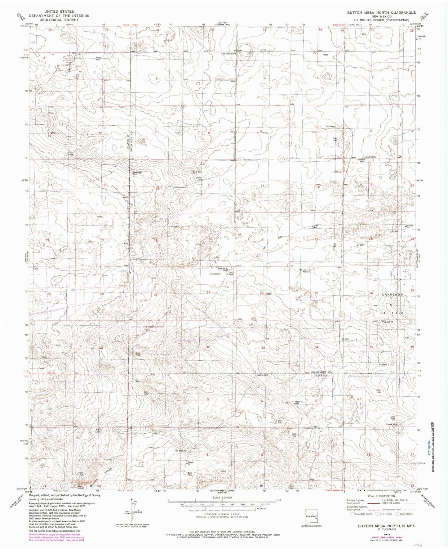
Historical USGS topographic quad map of Button Mesa North in the state of New Mexico. Map scale may vary for some years, but is generally around 1:24,000. Print size is approximately 24" x 27"
This quadrangle is in the following counties: Chaves, Roosevelt.
The map contains contour lines, roads, rivers, towns, and lakes. Printed on high-quality waterproof paper with UV fade-resistant inks, and shipped rolled.
Contains the following named places: 06175 Water Well, 06176 Water Well, 06205 Water Well, 06206 Water Well, 06209 Water Well, 06210 Water Well, 06212 Water Well, 06213 Water Well, Baliff Well, Blackstock Well, Boatwright Well, Button Mesa, Corner Well, First West Well, Forseyth Well, Gallina Well, Jones Well, McLorn Well, South Well, Terrill Well, Vest Lake, Vest Wells, West Well