MyTopo
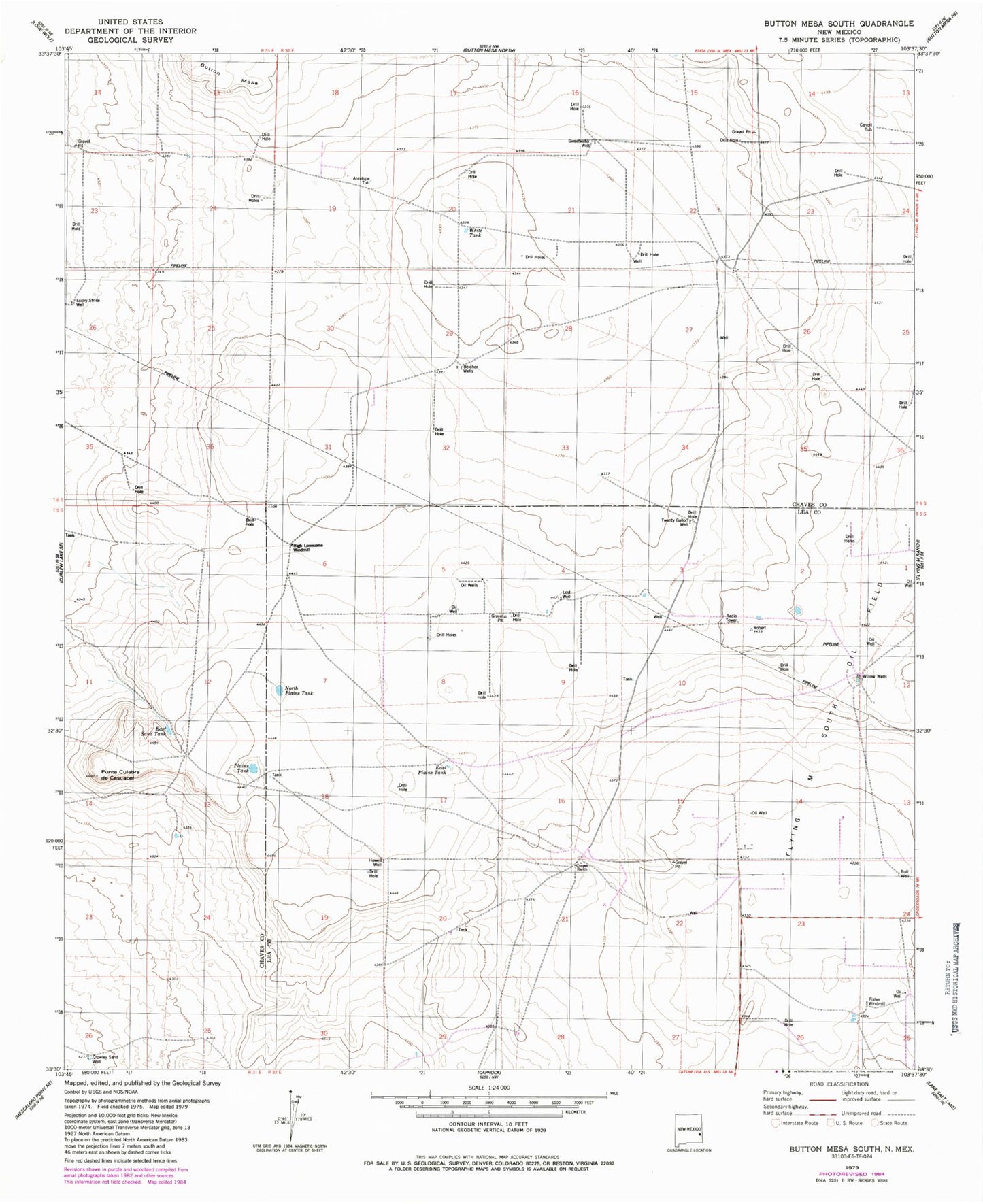
Classic USGS Button Mesa South New Mexico 7.5'x7.5' Topo Map
Couldn't load pickup availability
Historical USGS topographic quad map of Button Mesa South in the state of New Mexico. Map scale may vary for some years, but is generally around 1:24,000. Print size is approximately 24" x 27"
This quadrangle is in the following counties: Chaves, Lea.
The map contains contour lines, roads, rivers, towns, and lakes. Printed on high-quality waterproof paper with UV fade-resistant inks, and shipped rolled.
Contains the following named places: 12508 Water Well, 12509 Water Well, 12510 Water Well, 12511 Water Well, 12512 Water Well, 12513 Water Well, 13371 Water Well, Antelope Tub, Belcher Wells, Bull Well, Carroll Tub, Cooper Ranch, Crowley Sand, Drill Hole Twenty Gallon Well, East Plains Tank, East Sand Tank, Fisher Windmill, High Lonesome Windmill, Howell Well, KENW-TV (Portales), Lost Well, Lucky Strike Well, North Plains Tank, Plains Tank, Punta Culebra de Cascade, Sweetwater Well, White Tank, Willow Wells