MyTopo
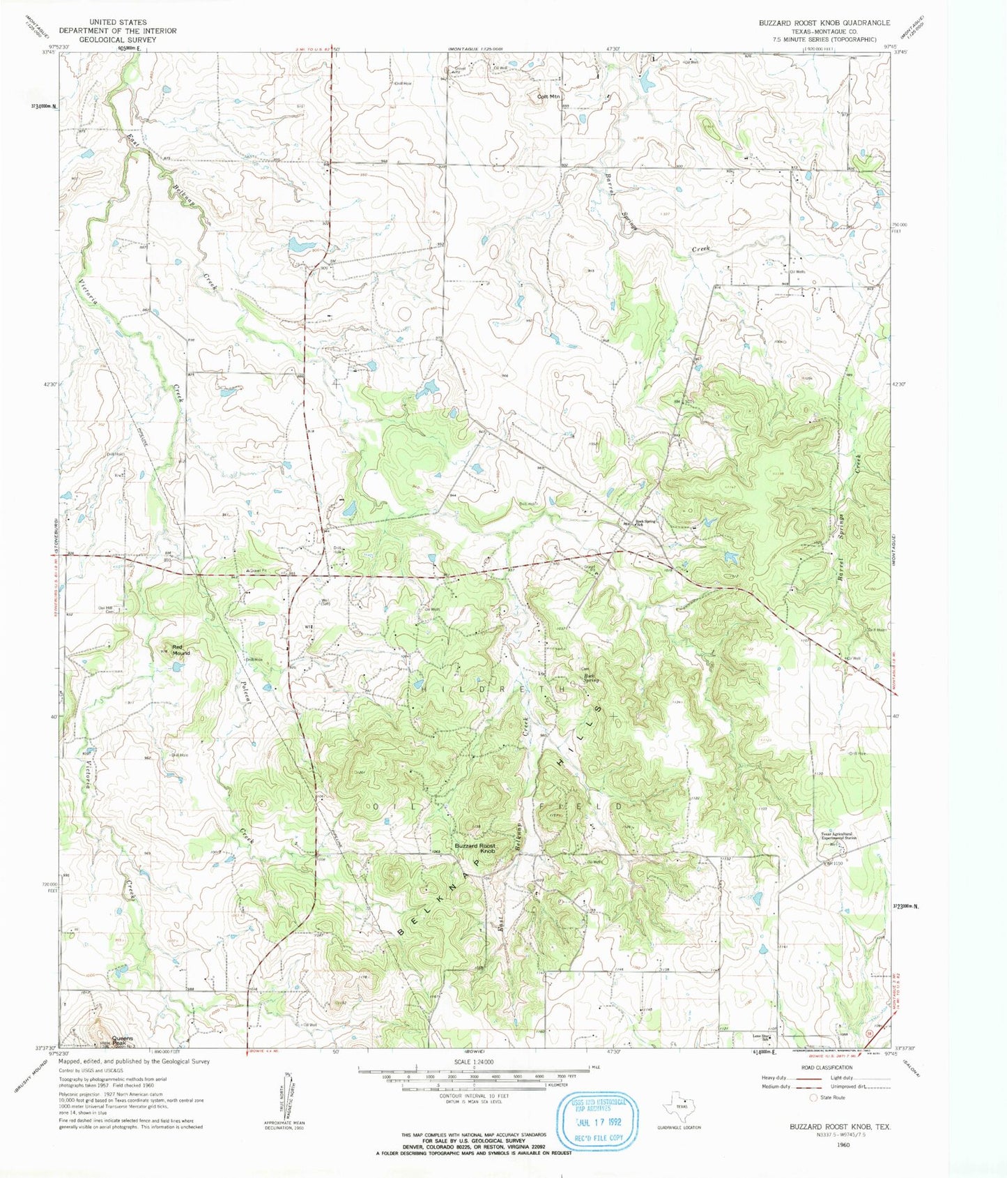
Classic USGS Buzzard Roost Knob Texas 7.5'x7.5' Topo Map
Couldn't load pickup availability
Historical USGS topographic quad map of Buzzard Roost Knob in the state of Texas. Map scale is 1:24000. Print size is approximately 24" x 27"
This quadrangle is in the following counties: Montague.
The map contains contour lines, roads, rivers, towns, and lakes. Printed on high-quality waterproof paper with UV fade-resistant inks, and shipped rolled.
Contains the following named places: Barrel Springs, Belknap Hills, Buzzard Roost Knob, Colt Mountain, Hildreth Oil Field, Hinds Clark Lake, Hinds Clark Lake Dam, Kenedy Public Library, KRJT-FM (Bowie), Lone Star School, Oak Hill Cemetery, Polecat Creek, Queens Peak, Red Mound, Rock Spring, Rock Spring School, Sky Acres Airport, Soil Conservation Service Site 1f Dam, Soil Conservation Service Site 1f Reservoir, Texas Agricultural Experimental Station, Victoria Creek