MyTopo
Classic USGS Buzzard Roost Mesa Arizona 7.5'x7.5' Topo Map
Couldn't load pickup availability
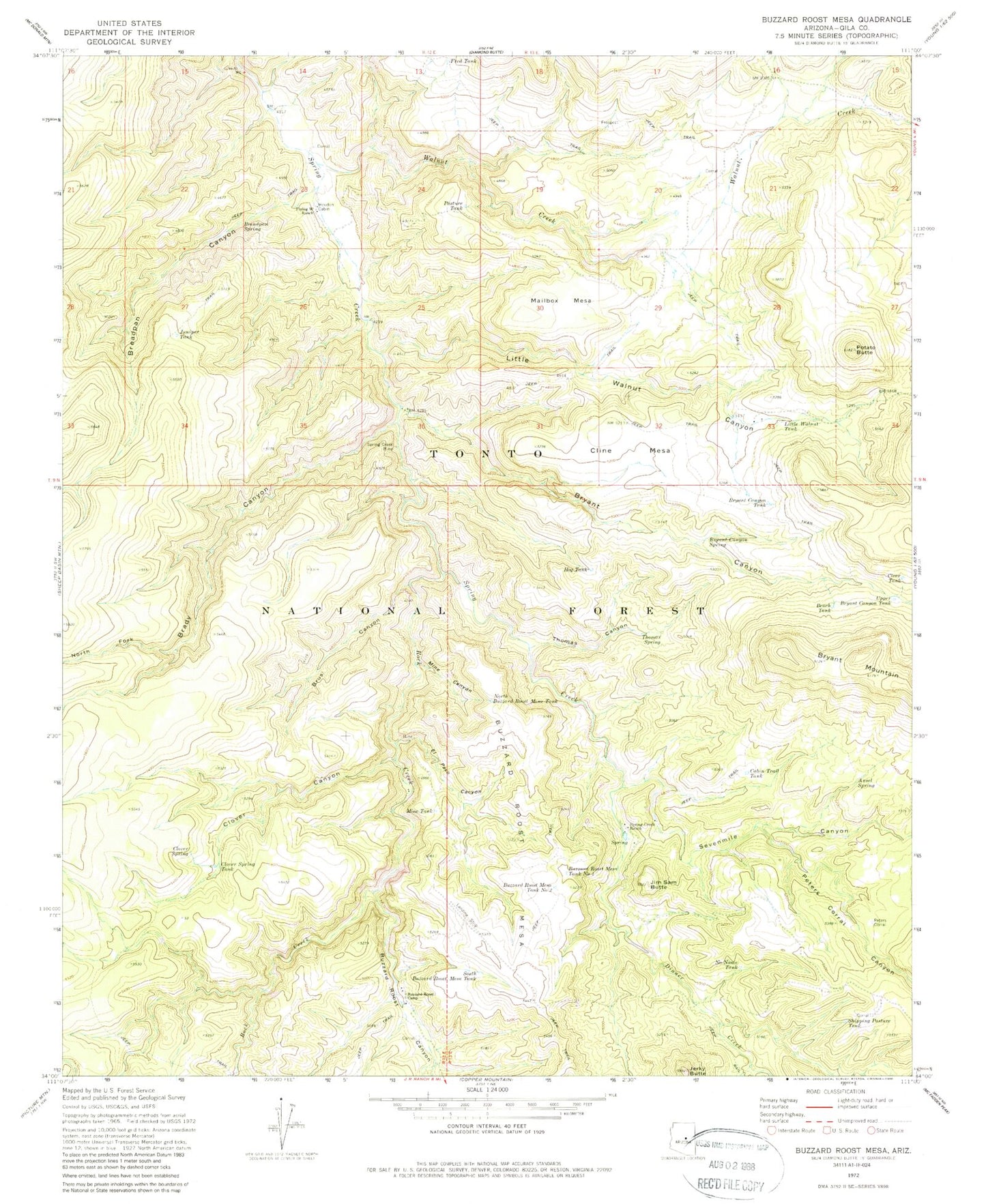
Historical USGS topographic quad map of Buzzard Roost Mesa in the state of Arizona. Map scale is 1:24000. Print size is approximately 24" x 27"
This quadrangle is in the following counties: Gila.
The map contains contour lines, roads, rivers, towns, and lakes. Printed on high-quality waterproof paper with UV fade-resistant inks, and shipped rolled.
Contains the following named places: Ansel Spring, Bench Tank, Brady Canyon, Breadpan Canyon, Breadpan Spring, Brushy Canyon, Bryant Canyon, Bryant Canyon Spring, Bryant Canyon Tank, Bryant Mountain, Buzzard Roost Camp, Buzzard Roost Canyon, Buzzard Roost Mesa, Buzzard Roost Mesa Tank Number One, Buzzard Roost Mesa Tank Number Two, Cabin Trail Tank, Clear Tank, Cline Mesa, Clover Canyon, Clover Spring, Clover Spring Tank, Dinner Canyon, Dinner Creek, El Paso Canyon, Flying W Ranch, Fred Tank, Haught Ranch, Houdon Cabin, Jerky Butte, Jim Sam Butte, Jim Sam Tank, Juniper Tank, Little Walnut Canyon, Little Walnut Tank, Mailbox Mesa, Mine Canyon, Mine Tank, No Name Tank, North Buzzard Roost Mesa Tank, North Fork Brady Canyon, Pasture Tank, Peters Corral, Peters Corral Canyon, Peters Corral Spring, Potato Butte, Rock Creek, Sevenmile Canyon, Shipping Pasture Tank, South Buzzard Roost Mesa Tank, Spring Creek Mine, Spring Creek Ranch, Thomas Canyon, Thomas Spring, Upper Bryant Canyon Tank, Walnut Creek, Walnut Well