MyTopo
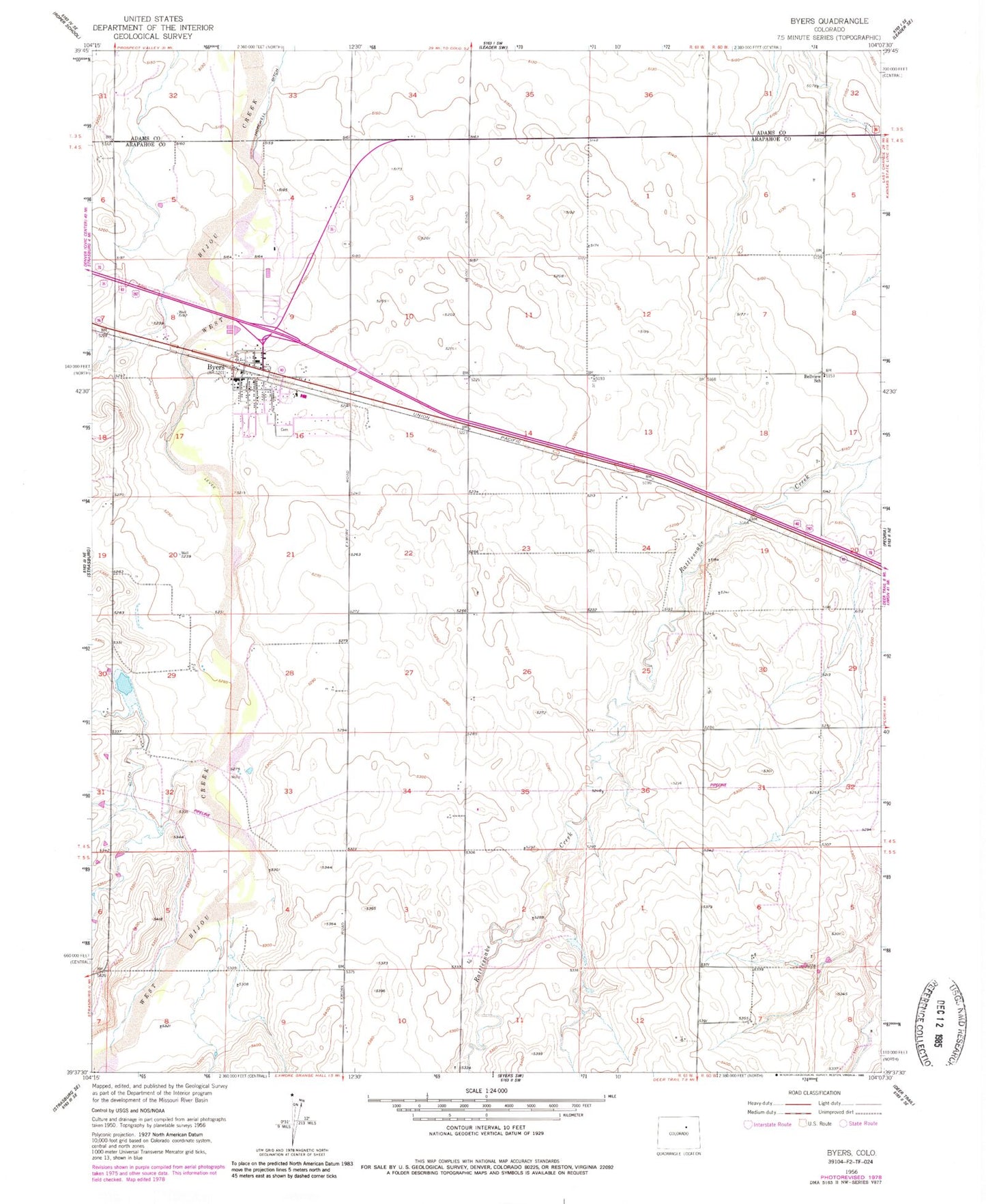
Classic USGS Byers Colorado 7.5'x7.5' Topo Map
Couldn't load pickup availability
Historical USGS topographic quad map of Byers in the state of Colorado. Map scale may vary for some years, but is generally around 1:24,000. Print size is approximately 24" x 27"
This quadrangle is in the following counties: Adams, Arapahoe.
The map contains contour lines, roads, rivers, towns, and lakes. Printed on high-quality waterproof paper with UV fade-resistant inks, and shipped rolled.
Contains the following named places: Arapahoe County Sheriff's Office Byers Substation, Bellview School, Bijou Hill Dairy, Byers, Byers Ambulance Services, Byers Cemetery, Byers Census Designated Place, Byers Fire Department, Byers Post Office, East Arapahoe Division, East Moore Field, Peoria Census Designated Place, Sheep Spring, Sky Haven Airport