
MyTopo
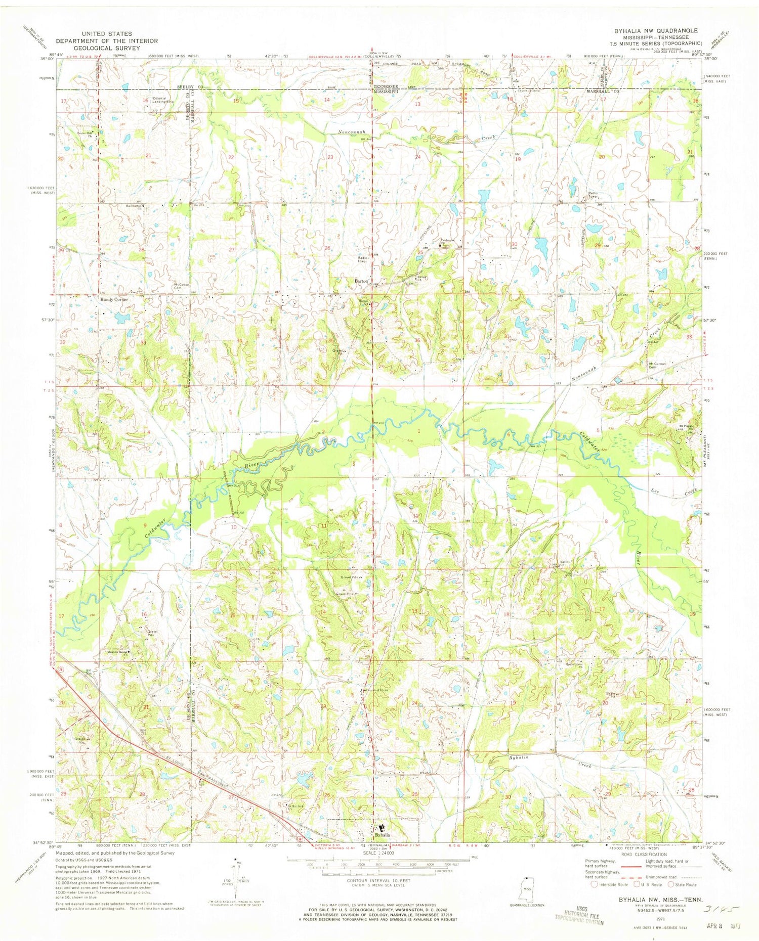
Classic USGS Byhalia NW Mississippi 7.5'x7.5' Topo Map
Couldn't load pickup availability
Historical USGS topographic quad map of Byhalia NW in the states of Mississippi, Tennessee. Map scale may vary for some years, but is generally around 1:24,000. Print size is approximately 24" x 27"
This quadrangle is in the following counties: DeSoto, Fayette, Marshall, Shelby.
The map contains contour lines, roads, rivers, towns, and lakes. Printed on high-quality waterproof paper with UV fade-resistant inks, and shipped rolled.
Contains the following named places: Barton, Barton Cemetery, Barton Church, Barton Volunteer Fire Department, Byhalia School, Byhalia Volunteer Fire Department Station 2, Center Hill Baptist Church, Center Hill Baptist Church Cemetery, Centre Hill, Church of Christ, Coldwater Cemetery, Coldwater Church, Colonial Air Park, Eason Church, Eason Church Cemetery, Eason School, Fair Haven Volunteer Fire Department, Haliburton Cemetery, Halliburton Church, Halliburton School, Handy Corner, Hearn Grove Church, Hearn Grove School, Hopeville, Irons School, Lee Creek, McGehee Cemetery, Meadow Brook Baptist Church, Mount Carmel Associate Reformed Presbyterian Church, Mount Carmel Cemetery, Mount Pisgah Cemetery, New Hardy Church, Reynolds Box, Saint Mathis Cemetery, Saint Matthew Church, Shiloh Baptist Church, Shiloh Baptist Church Cemetery, Supervisor District 3, WMSO-AM (Collierville)


