MyTopo
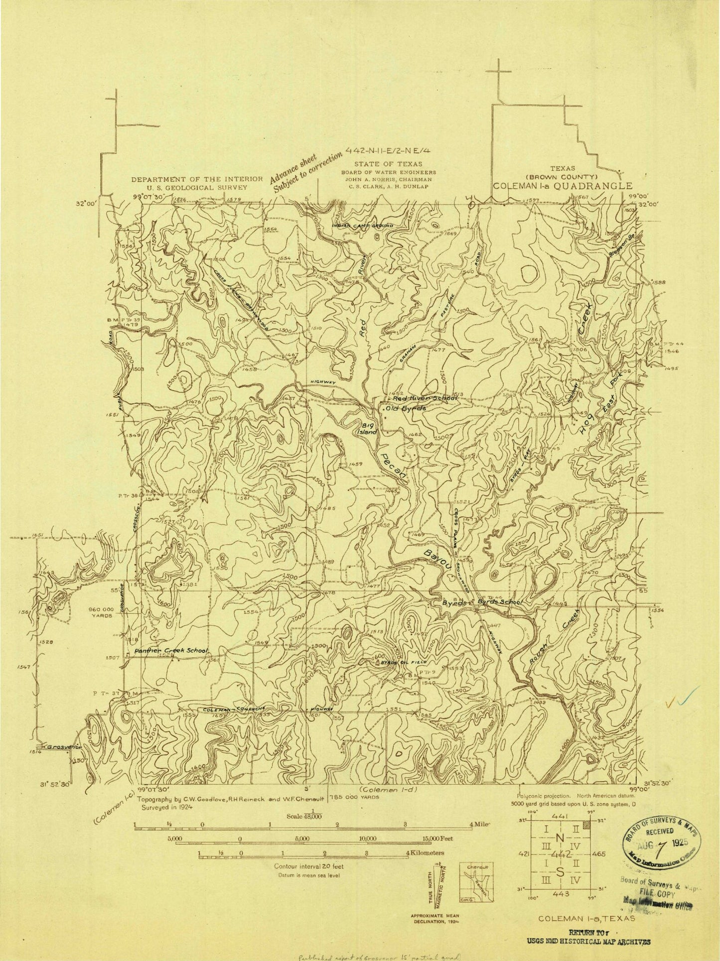
Classic USGS Byrds Texas 7.5'x7.5' Topo Map
Couldn't load pickup availability
Historical USGS topographic quad map of Byrds in the state of Texas. Map scale may vary for some years, but is generally around 1:24,000. Print size is approximately 24" x 27"
This quadrangle is in the following counties: Brown.
The map contains contour lines, roads, rivers, towns, and lakes. Printed on high-quality waterproof paper with UV fade-resistant inks, and shipped rolled.
Contains the following named places: Big Island, Bledsoe Branch, Byrds, Dam Number 1, Dam Number 2, Hog Creek, Holloway Creek, Lost Creek, Lost Creek Cemetery, North Lake Brownwood Volunteer Fire Department and Emergency Medical Services, Pitcock Cattle Company Dam Number 1, Pitcock Cattle Company Dam Number 2, Red River, Rough Branch, Thunderbird Bay Census Designated Place