MyTopo
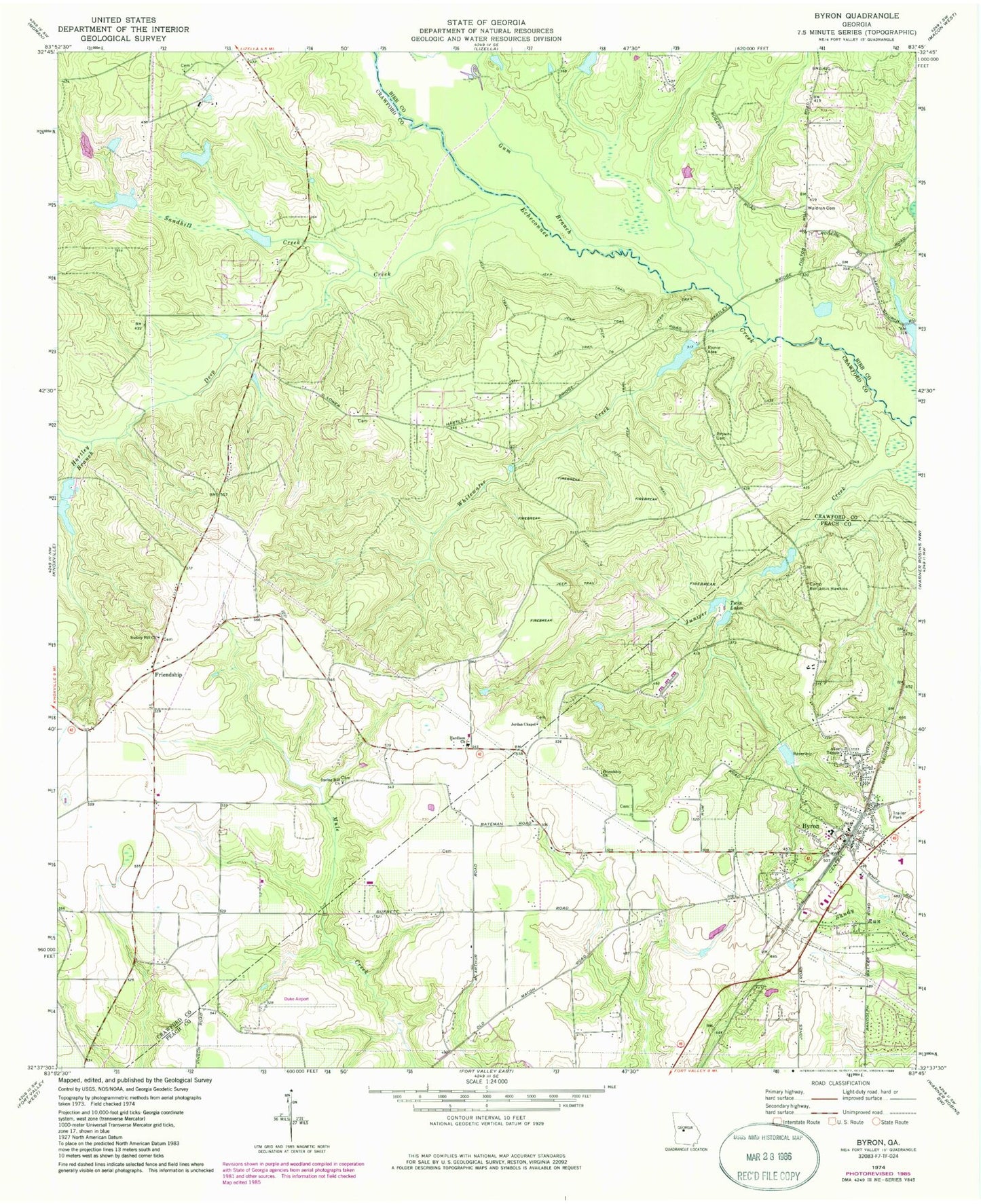
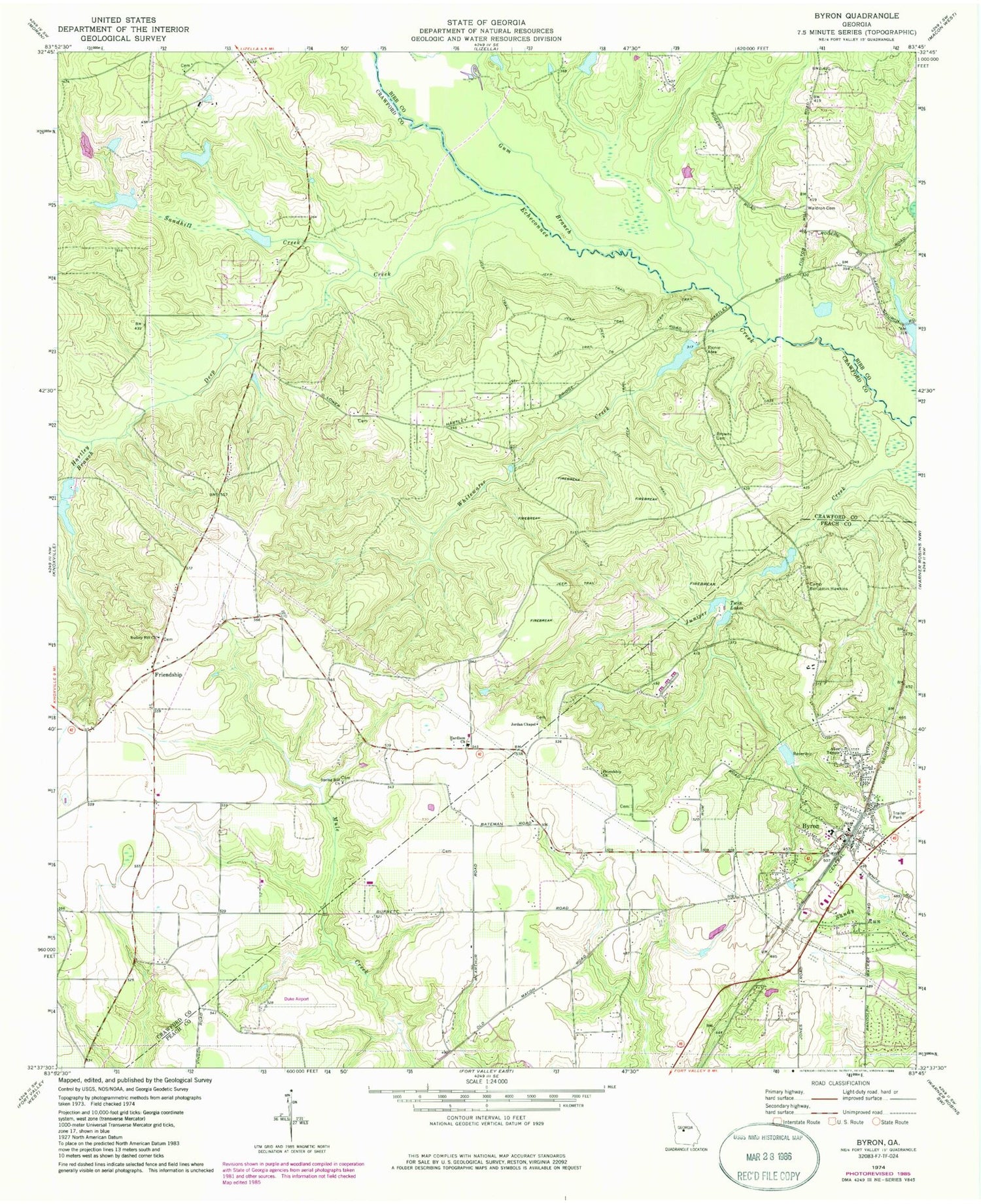
Classic USGS Byron Georgia 7.5'x7.5' Topo Map
Couldn't load pickup availability
Historical USGS topographic quad map of Byron in the state of Georgia. Map scale may vary for some years, but is generally around 1:24,000. Print size is approximately 24" x 27"
This quadrangle is in the following counties: Bibb, Crawford, Peach.
The map contains contour lines, roads, rivers, towns, and lakes. Printed on high-quality waterproof paper with UV fade-resistant inks, and shipped rolled.
Contains the following named places: Allen Temple, Alpine Heights, Arnold - Mason Cemetery, Atwaters Cemetery, Brown - Hallman Family Cemetery, Byron, Byron Baptist Church, Byron Elementary School, Byron Police Department, Byron Post Office, Byron Public Library, Byron School, Byron Volunteer Fire Department, Camp Benjamin Hawkins, City of Byron, Crawford County Fire Department Station 3, Crawford County Fire Department Station 6, Deep Creek, Duke Airport, Echeconnee Acres, Friendship, Friendship Church, Friendship Community Center, Friendship School, Gibson-Cary Development Corporation Pond, Gum Branch, Hardison Church, Hartley Branch, Hartley Bridges, Hidden Forest, Hutto Farm Airport, Jordan Chapel, Jordan Chapel United Methodist Church Cemetery, Kraftsman Association Lake, Kraftsman Association Lake Dam, Merritt Lake, Merritt Lake Dam, New Life Fellowship Church, Newberry Lake, Newberry Lake Dam, Nike Site R-88C, Nike Site R-88L, Nimrod Jackson Family Cemetery, Saint Marks Church, Sandhill Creek, Scout Lake, Society Hill Cemetery, Society Hill Church, South Lake Dam, Spring Hill Cemetery, Spring Hill Church, Twin Lakes, Waldron Cemetery, Whitewater Creek, WJTG-FM (Fort Valley), ZIP Code: 31008


