MyTopo
Classic USGS Byron Michigan 7.5'x7.5' Topo Map
Couldn't load pickup availability
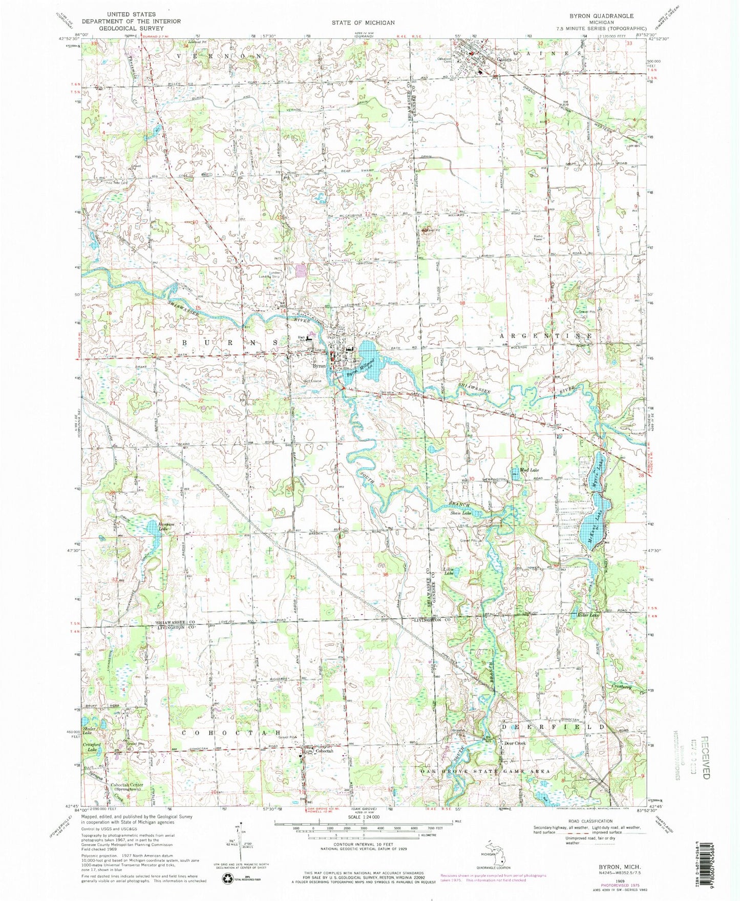
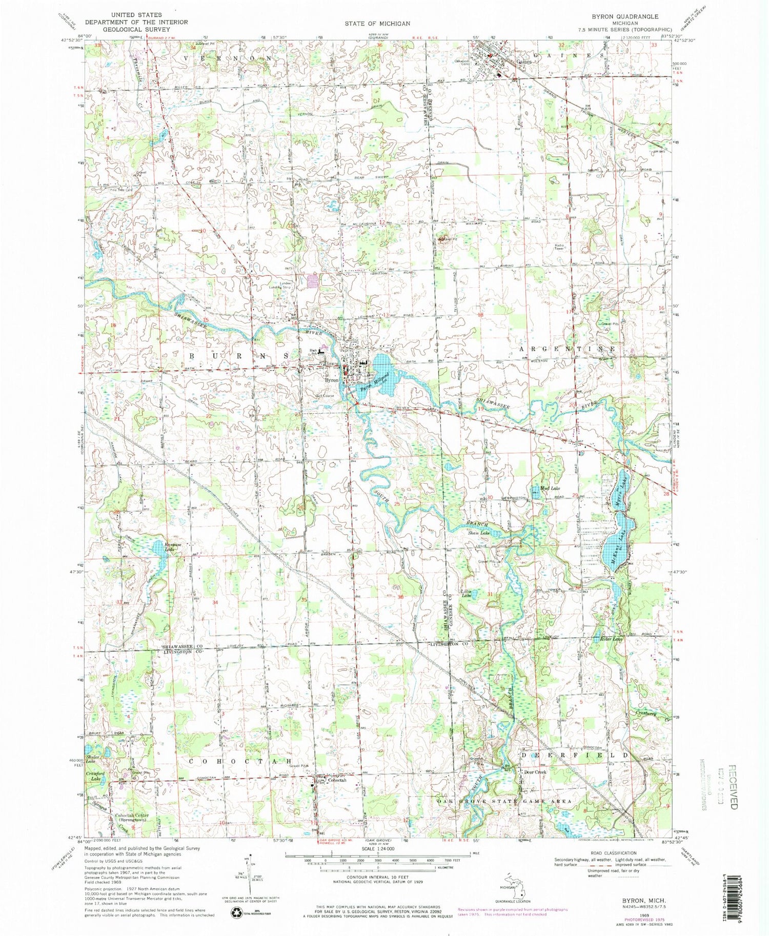
Historical USGS topographic quad map of Byron in the state of Michigan. Map scale is 1:24000. Print size is approximately 24" x 27"
This quadrangle is in the following counties: Genesee, Livingston, Shiawassee.
The map contains contour lines, roads, rivers, towns, and lakes. Printed on high-quality waterproof paper with UV fade-resistant inks, and shipped rolled.
Contains the following named places: Atherton Cemetery, Bear Swamp Drain, Bills Drain, Bryon Cemetery Historical Marker, Burns and Vernon Drain, Burns Township Fire Department, Byron, Byron Baptist Church, Byron Cemetery, Byron Elementary School, Byron High School, Byron Historical Marker, Byron Middle School, Byron Millpond, Byron Police Department, Byron Post Office, Byron Sesquicentennial Park, Byron Station (historical), Calvary Bible Church, Cohoctah, Cohoctah and Barnum Drain, Cohoctah Center, Cohoctah Post Office, Cohoctah Post Office (historical), Cranberry Creek, Crawford Lake, Deer Creek, Deer Creek Cemetery, Deercreek Post Office (historical), Drake Drain, Ellen May Tower Historical Marker, Faith Church, Gaines, Gaines Depot Library, Gaines Elementary School, Gaines Post Office, Gaines Station, Kanause Lake, Kanause Lake Drain, Lillie Lake, Livingston Shiawassee Drain, McKane Lake, Mud Lake, Myers Lake, Oakwood Cemetery, Pine Tree Cemetery, Rider Lake, Saint Joseph Church, Salesbury Drain, Sanford Neal Drain, Shaw Lake, Shuler Lake, South Branch Shiawassee River, Spanish-American War Nurse Historical Marker, Township of Burns, United Methodist Church of Byron, United Methodist Church of Gaines, Village of Byron, Village of Gaines, Willowbrook Golf Course, Yellow River Drain


