
MyTopo
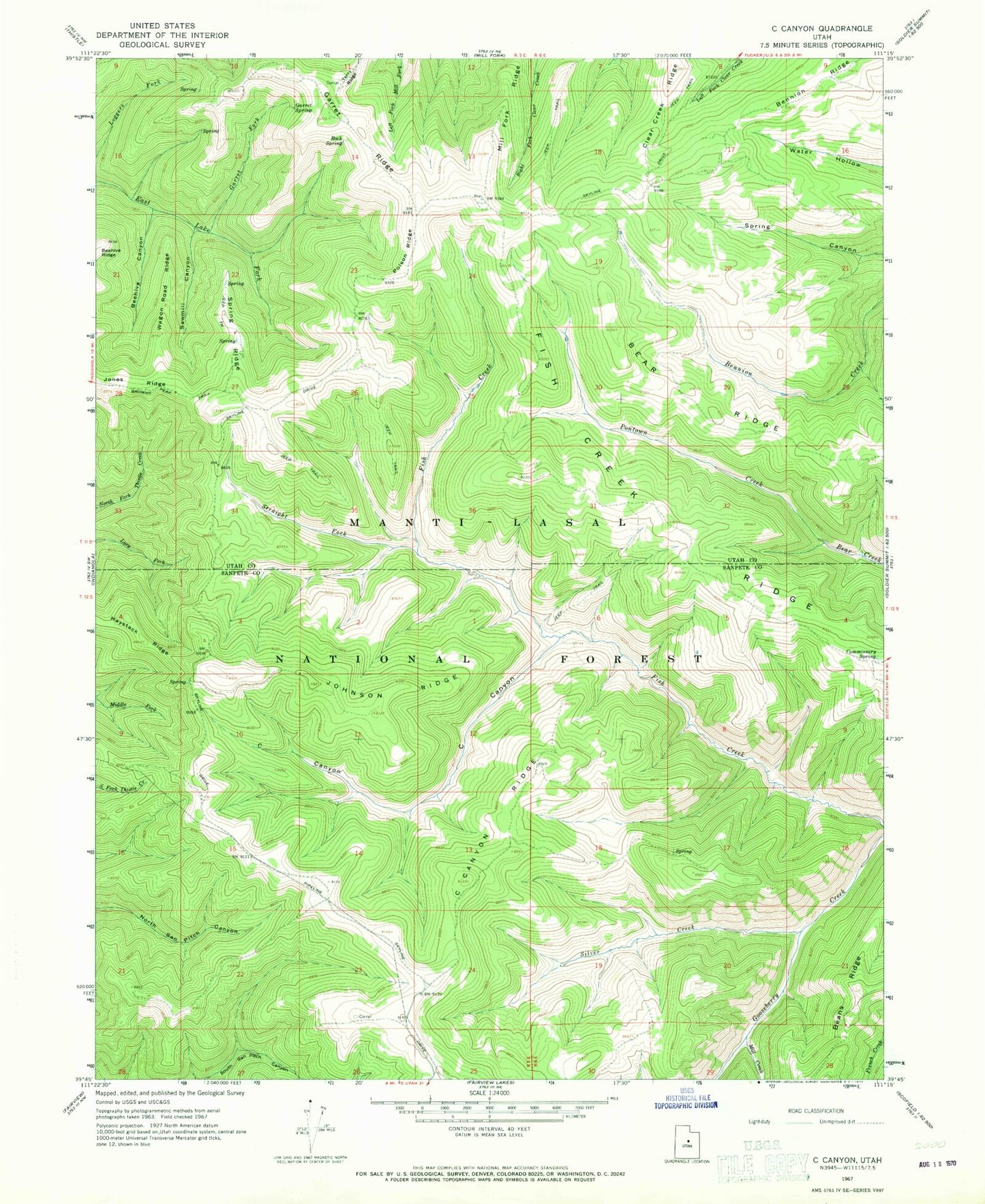
Classic USGS C Canyon Utah 7.5'x7.5' Topo Map
Couldn't load pickup availability
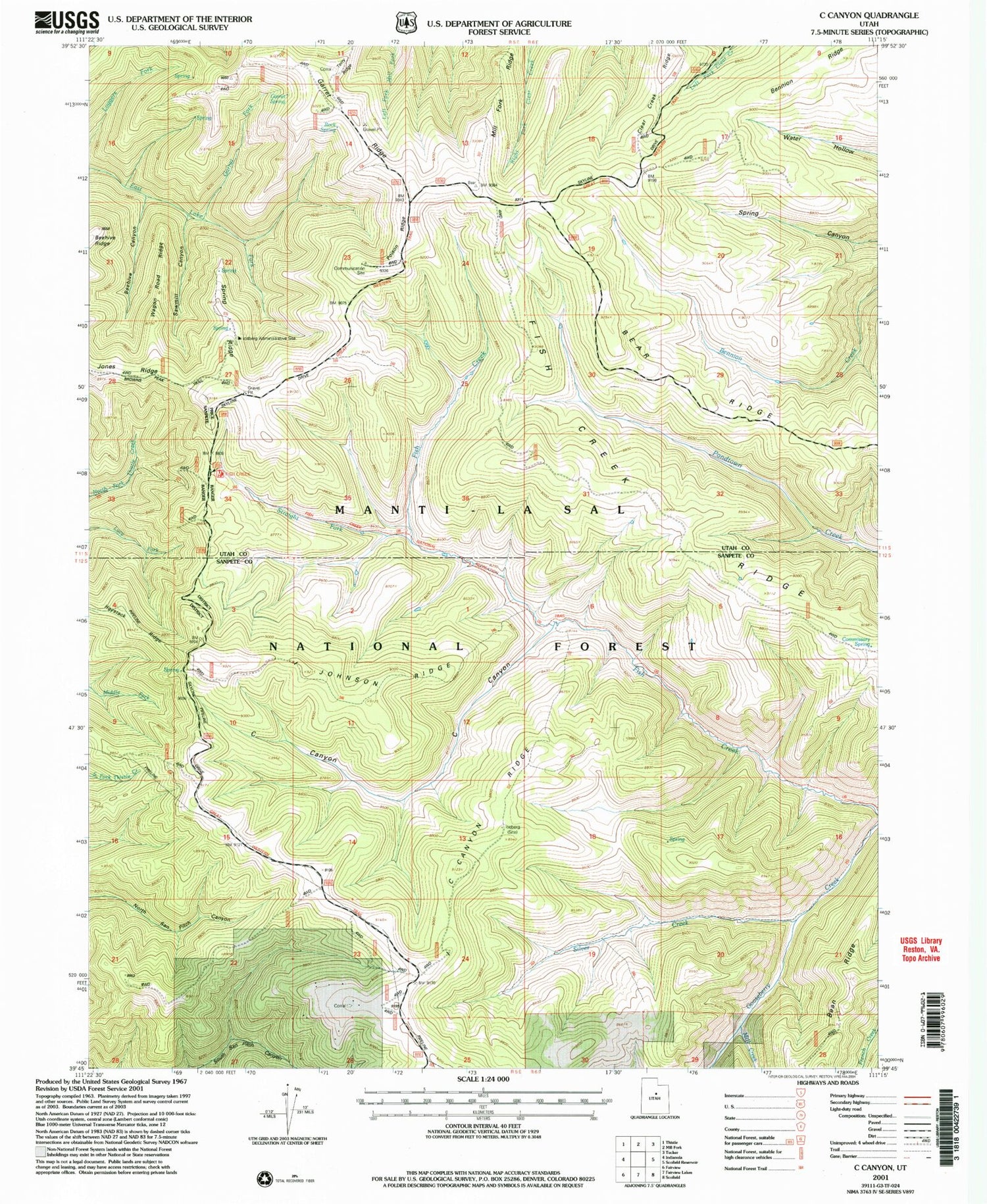
Historical USGS topographic quad map of C Canyon in the state of Utah. Map scale is 1:24000. Print size is approximately 24" x 27"
This quadrangle is in the following counties: Sanpete, Utah.
The map contains contour lines, roads, rivers, towns, and lakes. Printed on high-quality waterproof paper with UV fade-resistant inks, and shipped rolled.
Contains the following named places: Bear Ridge, Beehive Canyon, Bennion Ridge, C Canyon, C Canyon Ridge, Clear Creek Ridge, Commissary Spring, Fish Creek National Recreation Trail, Fish Creek Ridge, Garret Fork, Garret Ridge, Garret Spring, Haystack Ridge, Johnson Ridge, Johnson Ridge Overlook, Jones Ridge, Mill Creek, Mill Fork Ridge, Poison Ridge, Rock Spring, Sawmill Canyon, Silver Creek, Spring Ridge, Spring Ridge Administrative Site, Straight Fork, Terry Ridge, Wagon Road Ridge