MyTopo
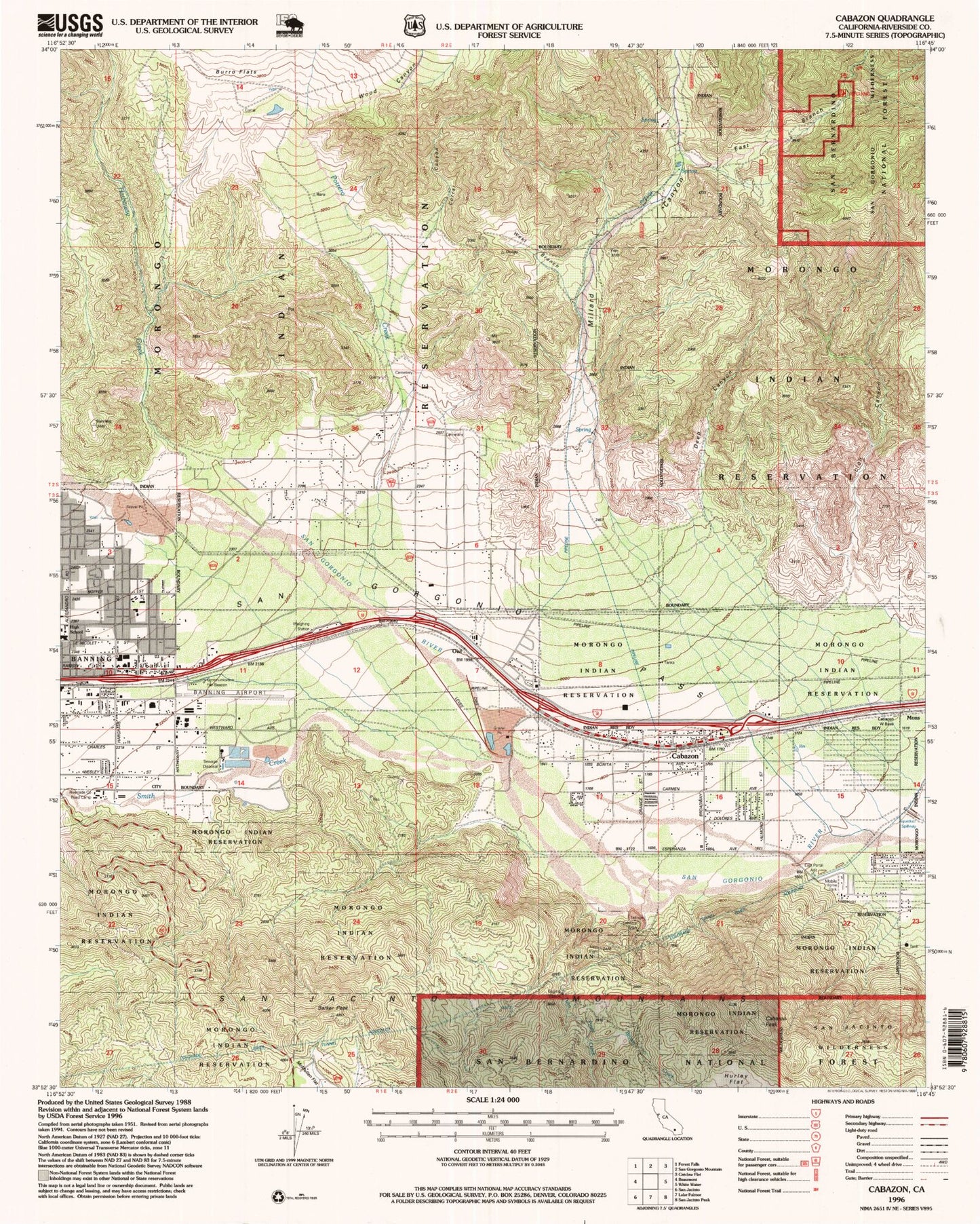
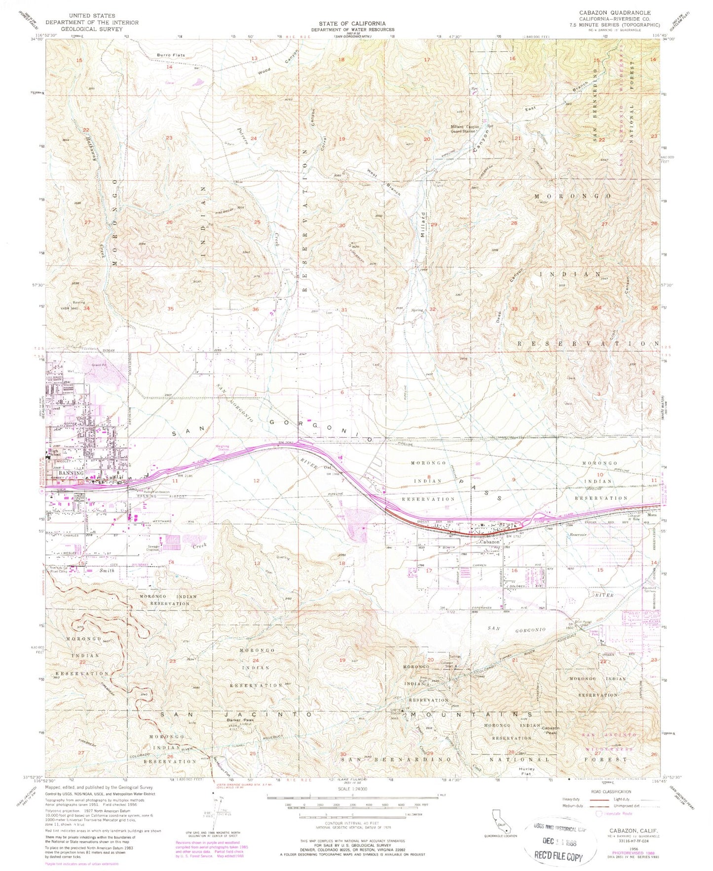
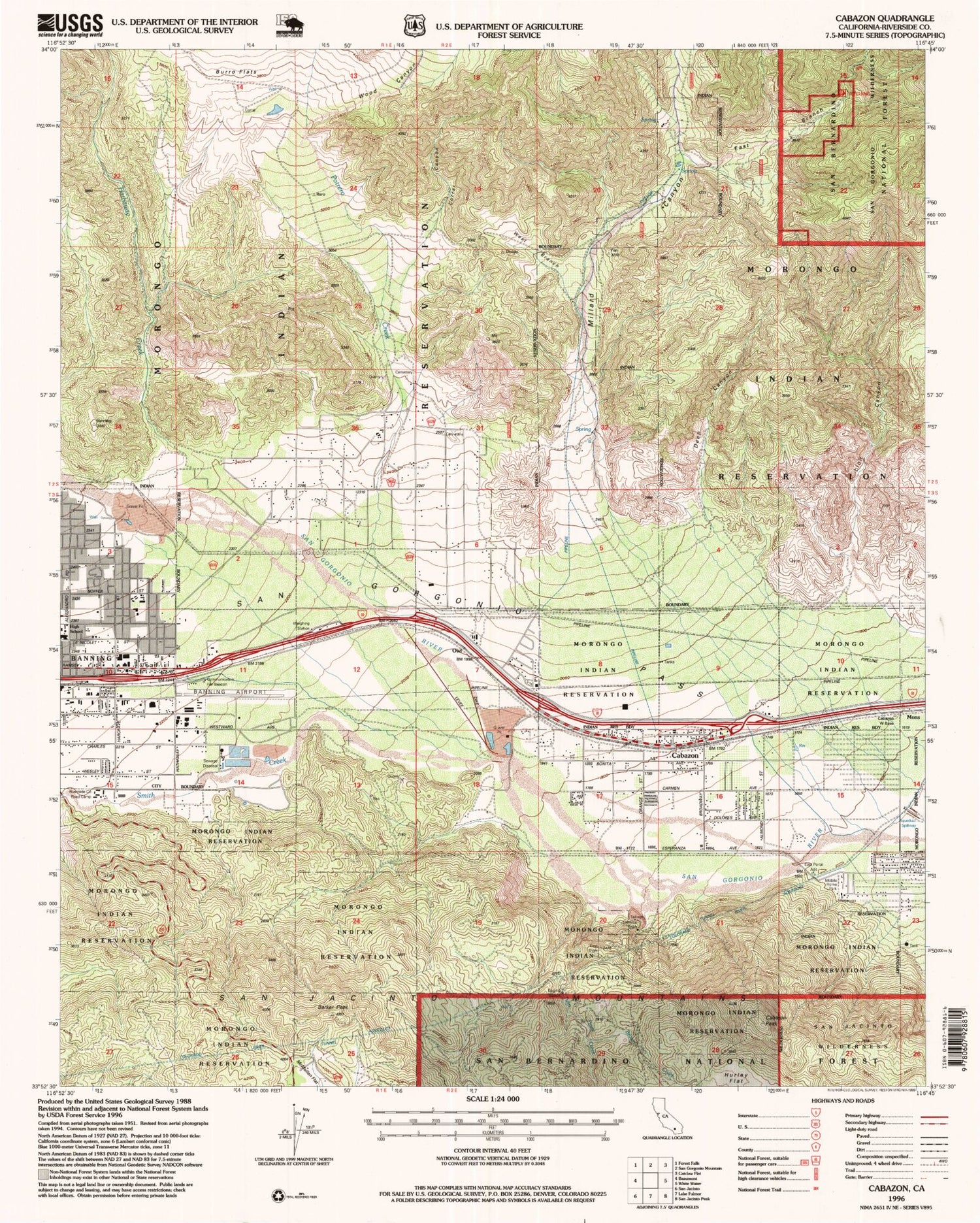
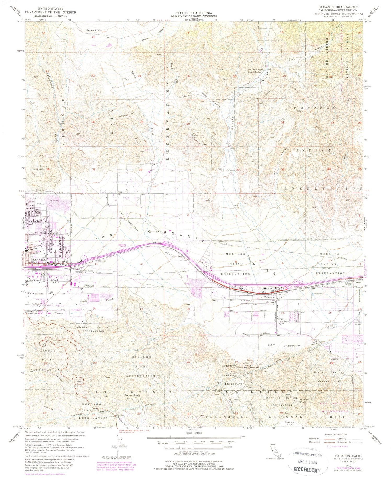
Classic USGS Cabazon California 7.5'x7.5' Topo Map
Couldn't load pickup availability
Historical USGS topographic quad map of Cabazon in the state of California. Typical map scale is 1:24,000, but may vary for certain years, if available. Print size: 24" x 27"
This quadrangle is in the following counties: Riverside.
The map contains contour lines, roads, rivers, towns, and lakes. Printed on high-quality waterproof paper with UV fade-resistant inks, and shipped rolled.
Contains the following named places: Morongo Reservation, Banning Canyon, Barker Peak, Brown Creek, Burro Flats, Cabazon Shaft, Corral Canyon, Deep Canyon, East Branch Millard Canyon, East Portal Adit, Hathaway Creek, Lion Canyon, Millard Canyon, Millard Canyon Guard Station, Owl, Potrero Creek, Riverside County Road Camp, San Gorgonio Pass, Smith Creek, Twin Pines Creek, West Branch Millard Canyon, Wood Canyon, Barker Peak Lookout, Cabazon, Banning Municipal Airport, Cabazon Peak, Cabazon Community Center, Cabazon Community Church, Cabazon Elementary School, Cabazon Park, Cabazon Post Office, Desert Hills Factory Stores Shopping Center, Ramsey High School, Canaan Spanish Assembly of God Church, First Missionary Baptist Church, Fountain of Life Church of God in Christ, Hoffer Elementary School, Morongo Moravian Church, Pass Valley Park, Cabazon Census Designated Place, Morongo Fire Department, Riverside County Fire Department Station 24 Cabazon, Riverside County Sheriff's Department, Riverside County Sheriff's Department - Cabazon, Morongo Reservation Patrol - Police Department, Banning Post Office, Morongo Tribal Cemetery, Morongo Tribal Cemetery, Saint Mary's Catholic Cemetery


