MyTopo
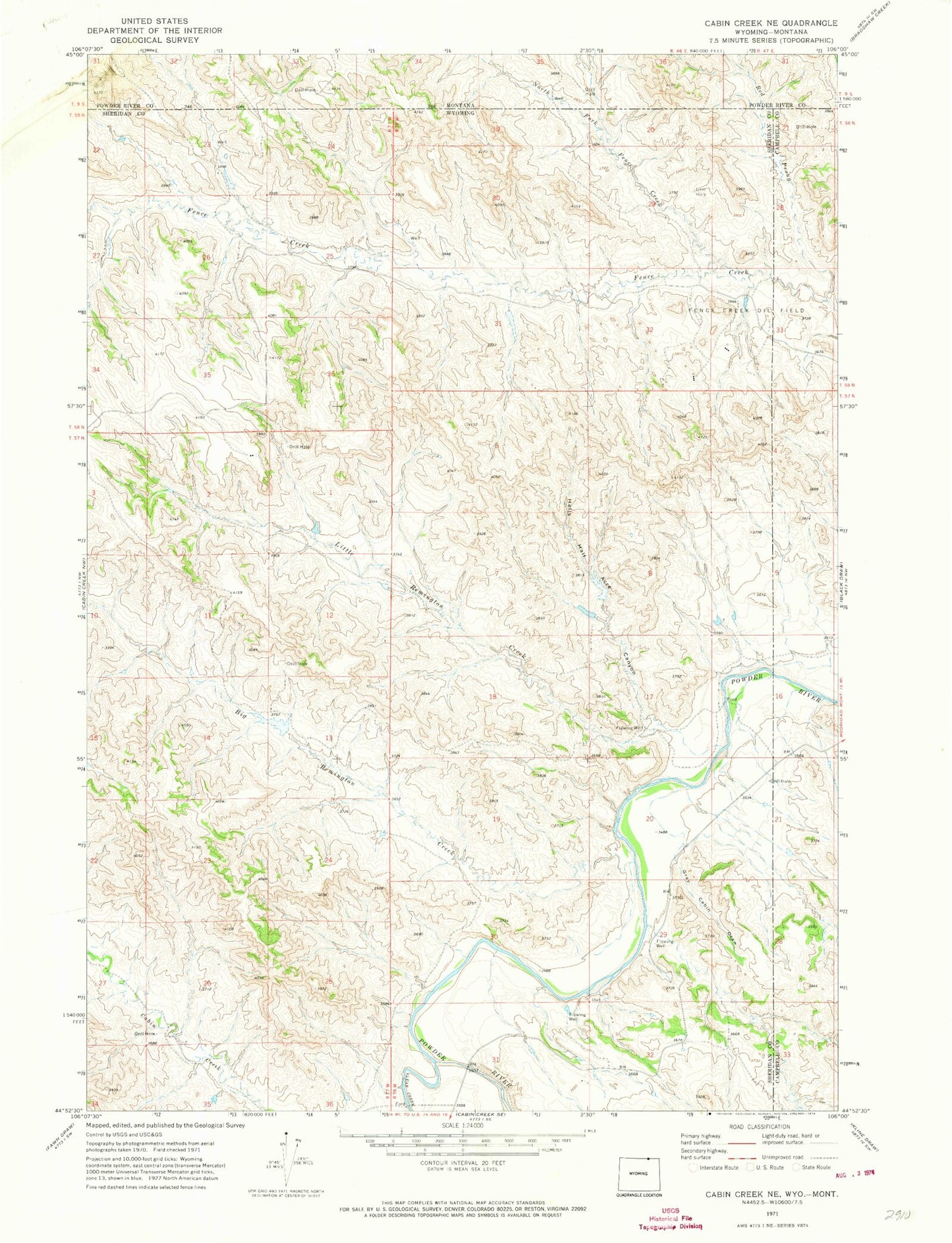
Classic USGS Cabin Creek NE Wyoming 7.5'x7.5' Topo Map
Regular price
$16.95
Regular price
Sale price
$16.95
Unit price
per
Couldn't load pickup availability
Historical USGS topographic quad map of Cabin Creek NE in the state of Wyoming. Map scale may vary for some years, but is generally around 1:24,000. Print size is approximately 24" x 27"
This quadrangle is in the following counties: Campbell, Powder River, Sheridan.
The map contains contour lines, roads, rivers, towns, and lakes. Printed on high-quality waterproof paper with UV fade-resistant inks, and shipped rolled.
Contains the following named places: Big Remington Creek, Clear Creek, Fence Creek Oil Field, Ford Number 1 Dam, Ford Reservoir Number 1, Gray Cabin Draw, Hells Half Acre Canyon, Little Remington Creek, North Fork Fence Creek, Red Prong, Stallions Airport