MyTopo
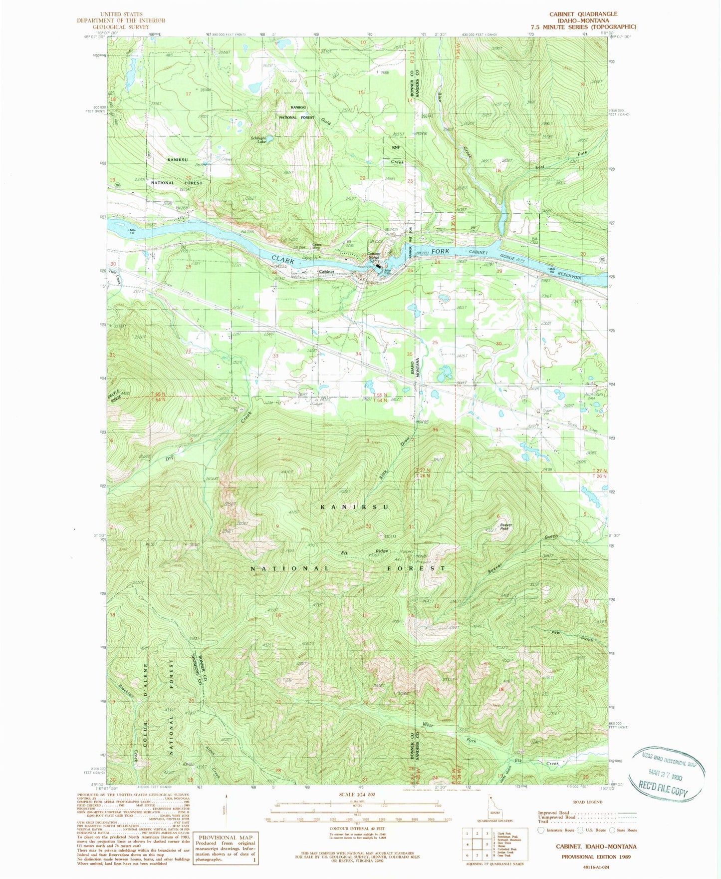
Classic USGS Cabinet Idaho 7.5'x7.5' Topo Map
Couldn't load pickup availability
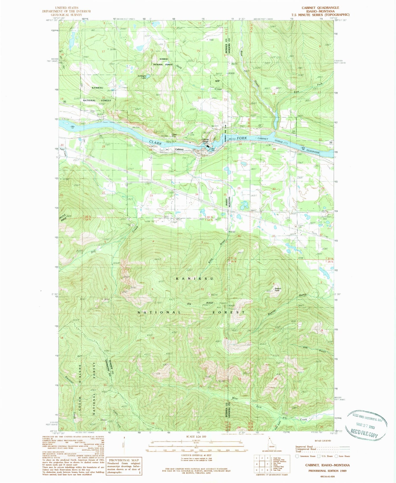
Historical USGS topographic quad map of Cabinet in the states of Idaho, Montana. Typical map scale is 1:24,000, but may vary for certain years, if available. Print size: 24" x 27"
This quadrangle is in the following counties: Bonner, Sanders, Shoshone.
The map contains contour lines, roads, rivers, towns, and lakes. Printed on high-quality waterproof paper with UV fade-resistant inks, and shipped rolled.
Contains the following named places: Cabinet Gorge, Carpie Mine, Dry Creek, Gold Creek, Schlicht Lake, Clark Fork Fish Hatchery, Cabinet Dam Viewpoint, Cabinet, Elk Ridge, Cabinet Gorge Dam, Cabinet Gorge Reservoir, Cabinet Gorge Hatchery, Silta Draw, Beaver Peak, Blue Creek, River Echo School (historical), East Fork Blue Creek, Jacks Gulch, Echo River School (historical), Little Blue Dam, 27N34W30ADAD01 Well, 27N35W24DADA01 Well, Cedar (historical), Cedar (historical), R & R Field


