MyTopo
Classic USGS Cable Mountain Montana 7.5'x7.5' Topo Map
Regular price
$16.95
Regular price
Sale price
$16.95
Unit price
per
Couldn't load pickup availability
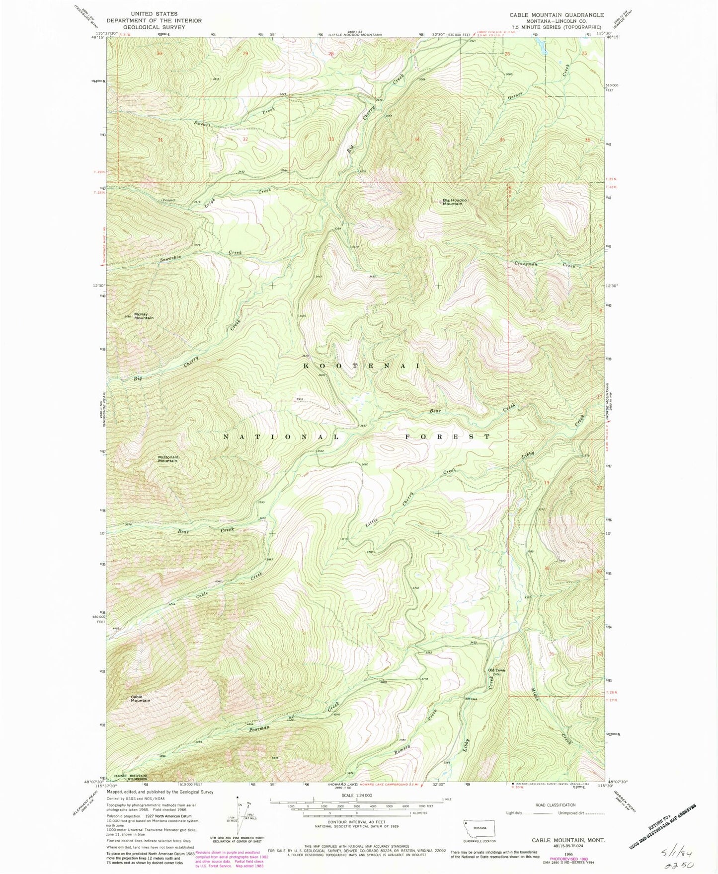
Historical USGS topographic quad map of Cable Mountain in the state of Montana. Map scale is 1:24000. Print size is approximately 24" x 27"
This quadrangle is in the following counties: Lincoln.
The map contains contour lines, roads, rivers, towns, and lakes. Printed on high-quality waterproof paper with UV fade-resistant inks, and shipped rolled.
Contains the following named places: Bear Creek, Big Cherry Creek Mine, Big Hoodoo Mountain, Cable Creek, Cable Mountain, Cherry Creek Mill Mine, Half Moon Mine, Leigh Creek, Little Cherry Creek, McDonald Mountain, McKay Mountain, Midas Creek, Old Town, Poorman Creek, Ramsey Creek, Smearl Creek, Snowshoe Creek