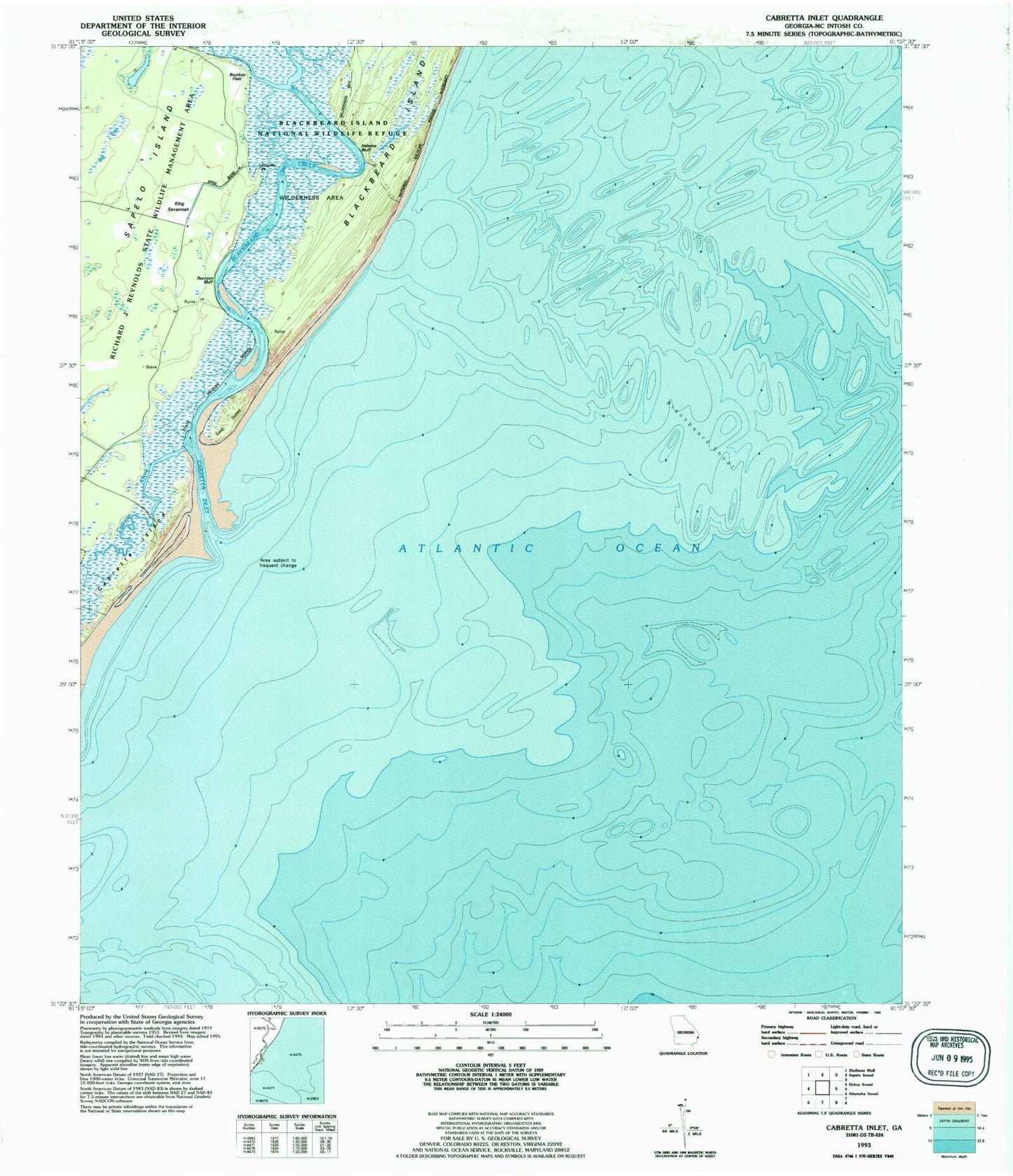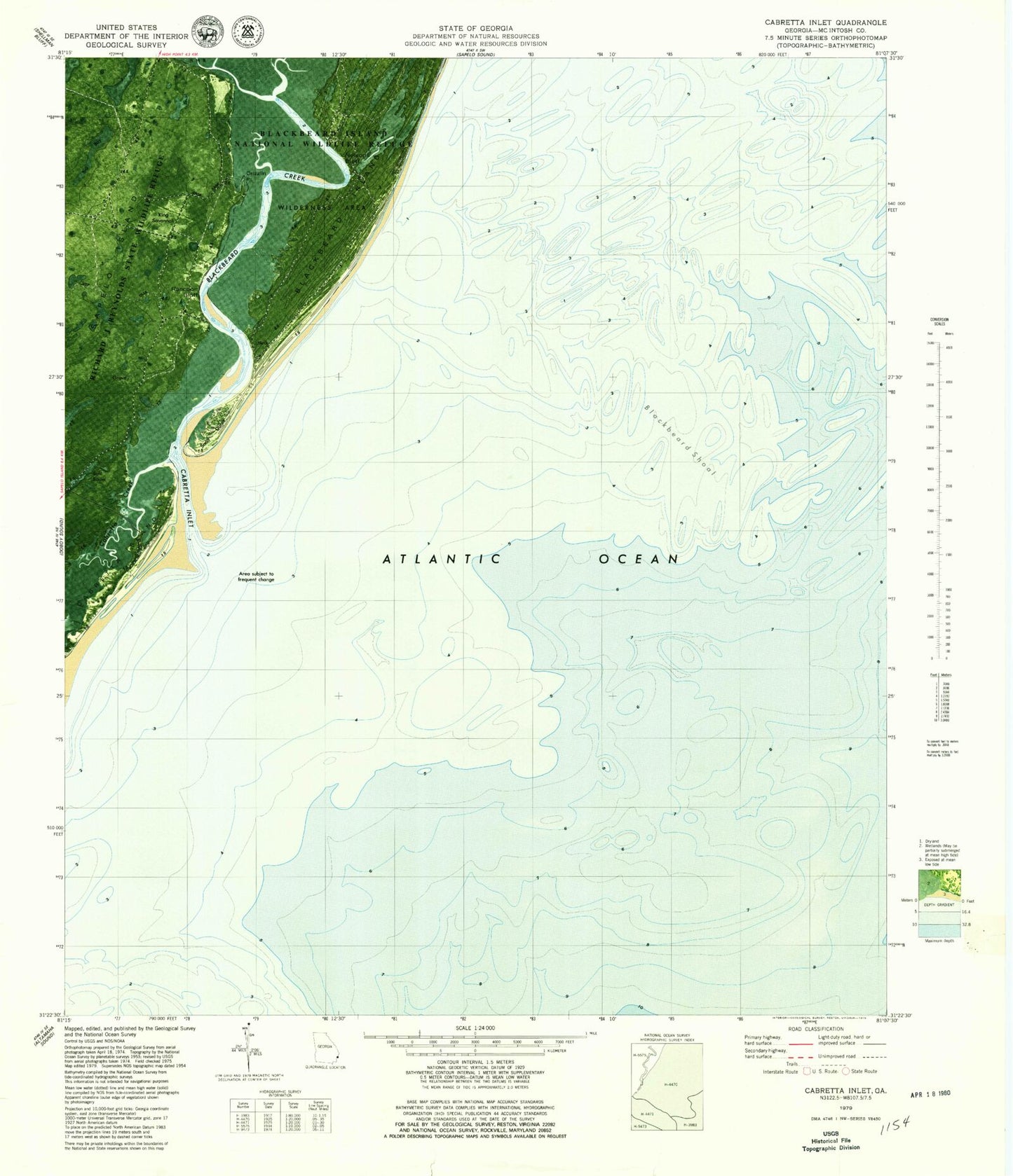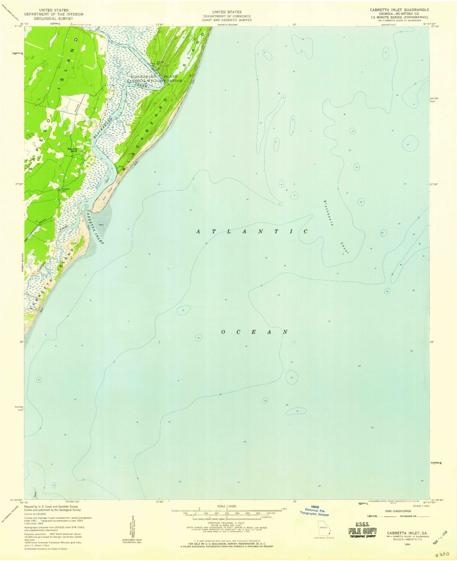
MyTopo
Classic USGS Cabretta Inlet Georgia 7.5'x7.5' Topo Map
Couldn't load pickup availability
Historical USGS topographic quad map of Cabretta Inlet in the state of Georgia. Map scale is 1:24000. Print size is approximately 24" x 27"
This quadrangle is in the following counties: McIntosh.
The map contains contour lines, roads, rivers, towns, and lakes. Printed on high-quality waterproof paper with UV fade-resistant inks, and shipped rolled.
Contains the following named places: Blackbeard Creek, Blackbeard Creek, Blackbeard Island Wilderness, Blackbeard Island Wilderness, Blackbeard Shoal, Blackbeard Shoal, Cabretta Creek, Cabretta Creek, Cabretta Inlet, Cabretta Inlet, Cabretta Island, Cabretta Island, King Savannah, King Savannah, Nelsons Bluff, Nelsons Bluff, Raccoon Bluff, Raccoon Bluff, Sapelo Island, Sapelo Island