MyTopo
Classic USGS Cache Illinois 7.5'x7.5' Topo Map
Couldn't load pickup availability
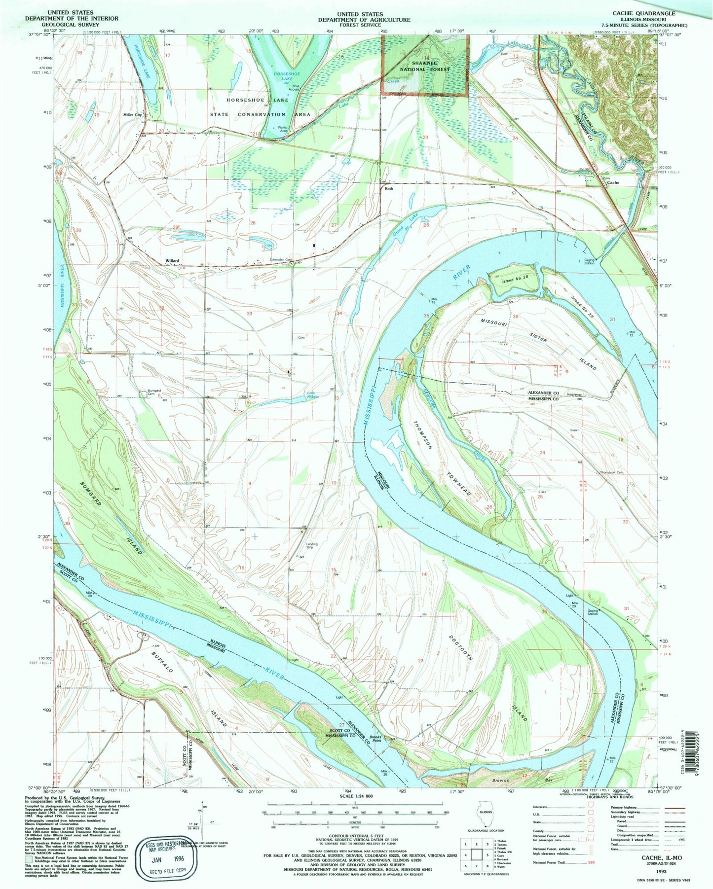
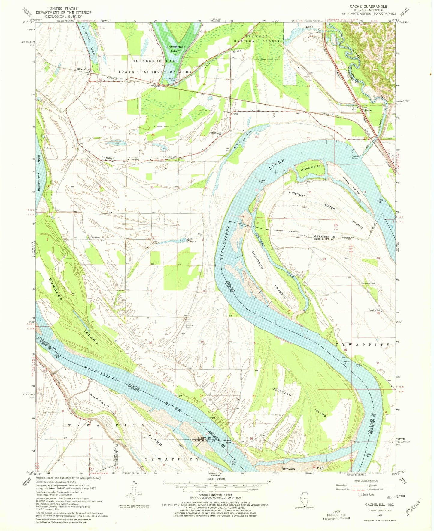
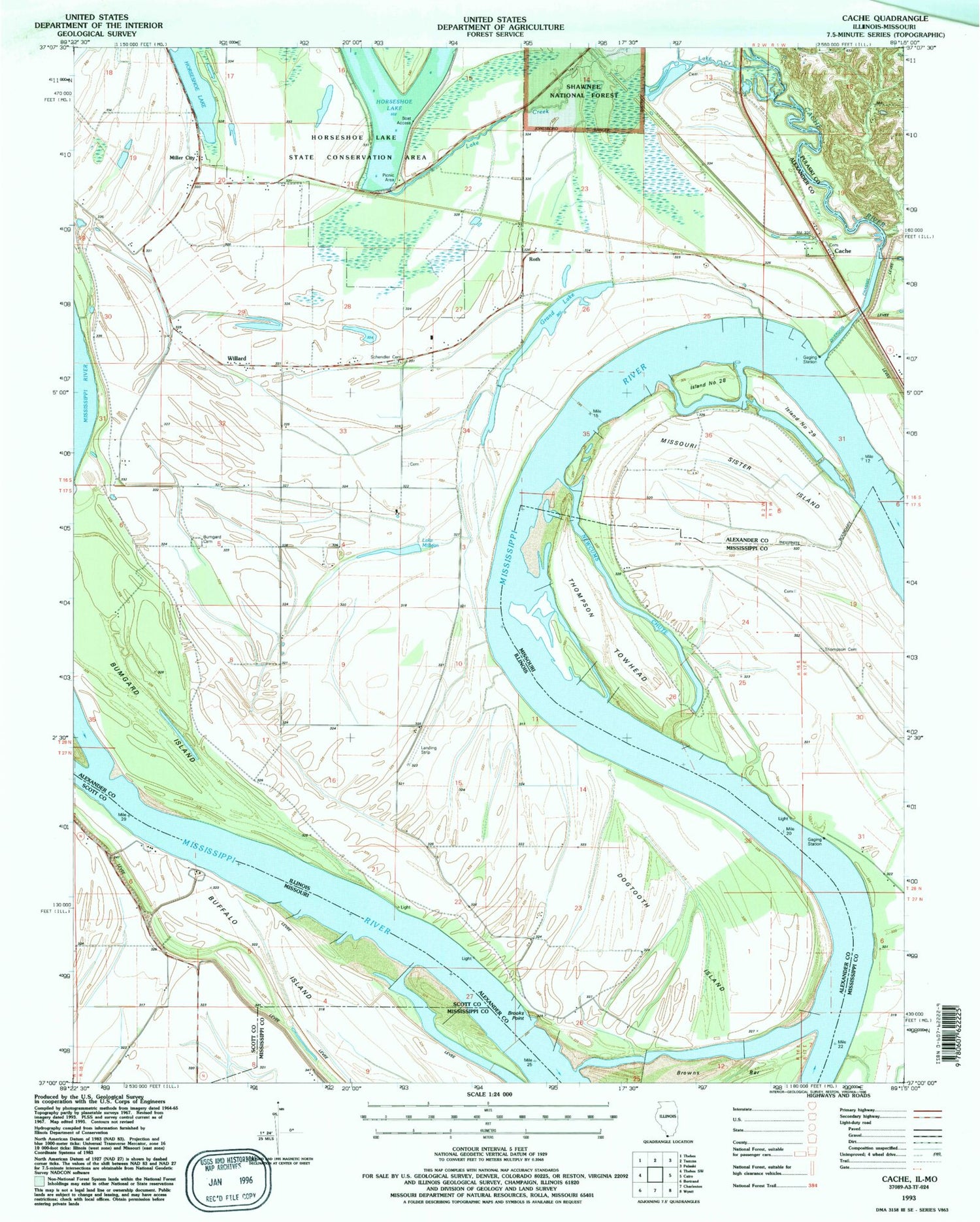
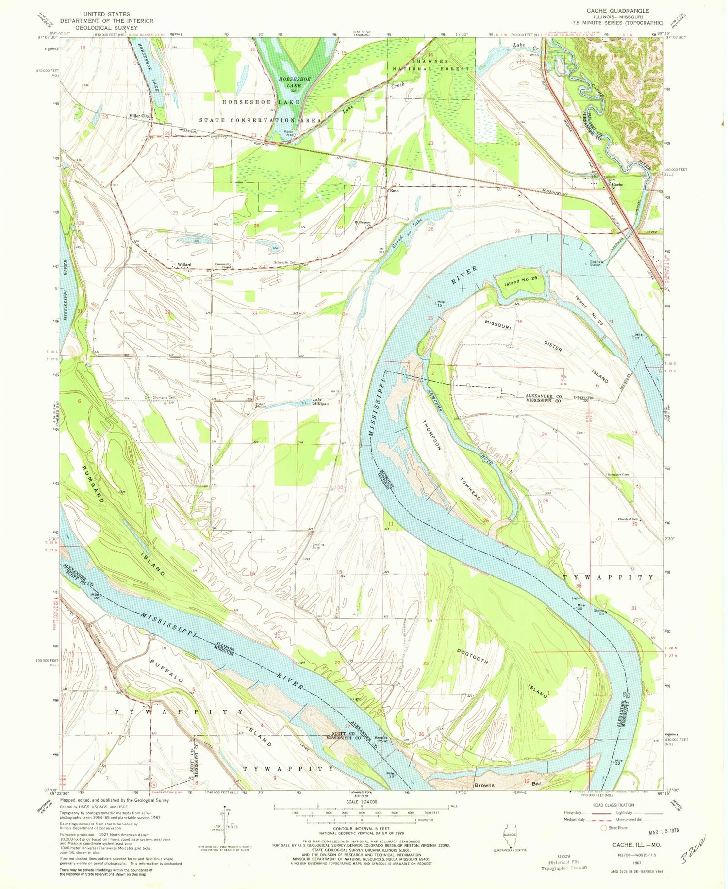
Historical USGS topographic quad map of Cache in the states of Illinois, Missouri. Map scale may vary for some years, but is generally around 1:24,000. Print size is approximately 24" x 27"
This quadrangle is in the following counties: Alexander, Mississippi, Pulaski, Scott.
The map contains contour lines, roads, rivers, towns, and lakes. Printed on high-quality waterproof paper with UV fade-resistant inks, and shipped rolled.
Contains the following named places: Brooks Point, Brooks Point Post Light, Buffalo Island, Bumgard Cemetery, Bumgard Island, Cache, Cache Election Precinct, Central Bend School, Church of God, Dogtooth Bend, Dogtooth Bend Mounds, Dogtooth Island, Elkins Landing, Grand Lake, Horseshoe Lake Recreation Site, Hunter Raffety Elevators Inc Airport, Island Number 28, Island Number 29, Lake Creek, Lake Creek School, Lake Milligan, Lake Milligan School, Lower Bend School, Miller City, Miller City Post Office, Miller Election Precinct, Missouri Sister Island, Mount Pleasant Church, Mount Zion Church, Newcums Chute, Phillips School, Price Towhead, Roth, Schendler Cemetery, Thompson Cemetery, Thompson Landing, Thompson Towhead, Willard, ZIP Code: 62962


