MyTopo
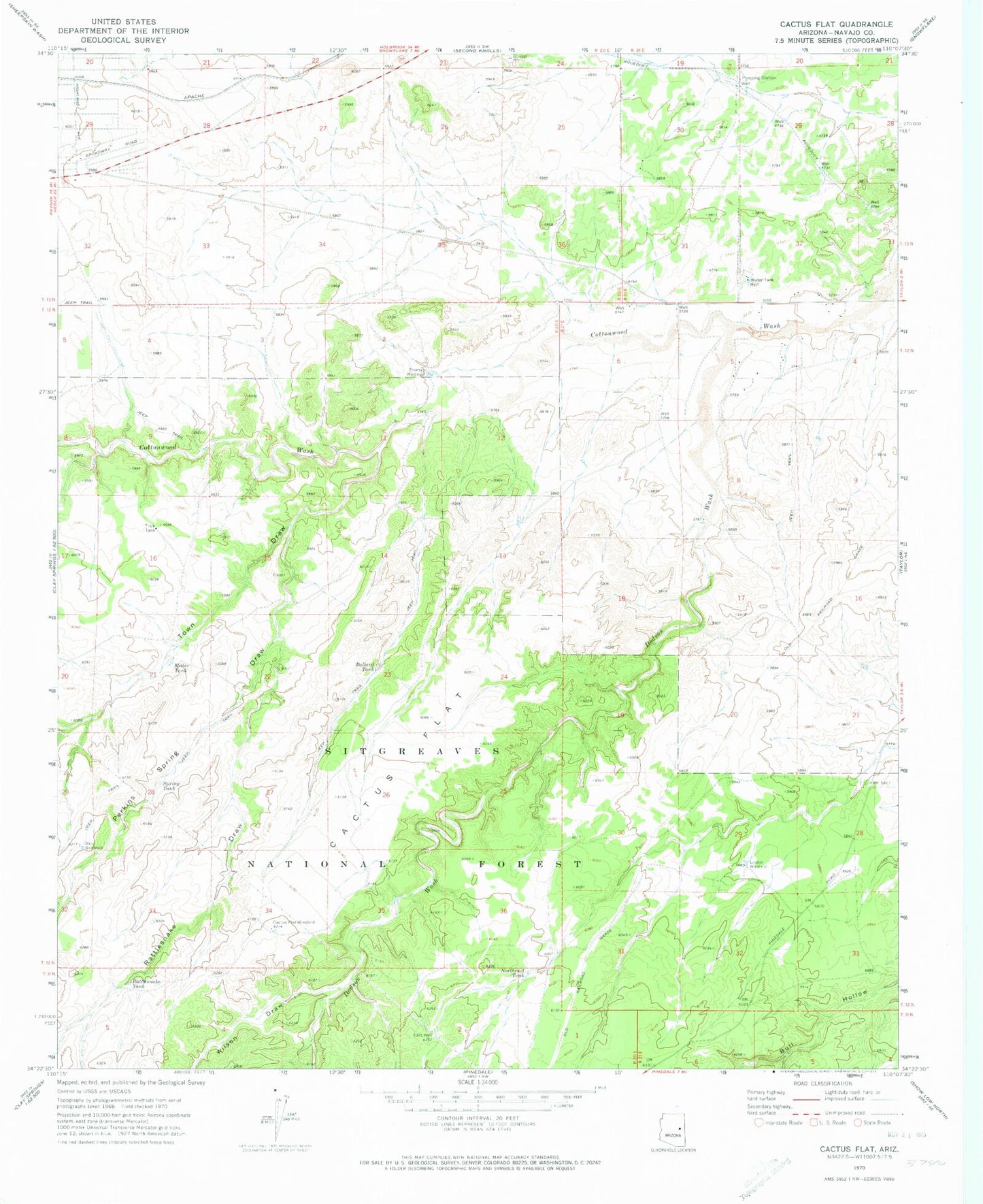
Classic USGS Cactus Flat Arizona 7.5'x7.5' Topo Map
Couldn't load pickup availability
Historical USGS topographic quad map of Cactus Flat in the state of Arizona. Map scale may vary for some years, but is generally around 1:24,000. Print size is approximately 24" x 27"
This quadrangle is in the following counties: Navajo.
The map contains contour lines, roads, rivers, towns, and lakes. Printed on high-quality waterproof paper with UV fade-resistant inks, and shipped rolled.
Contains the following named places: Antelope Tank, Back Stop Tank, Ballard Tank, Bull Ranch Draw, Cactus Flat, Cactus Flat Windmill, Carlisle Tank, Deborah Tank, Dodson Wash, Drinker Tank, East Well, Linden Windmill, Miller Tank, Mortensen Wash, Northeast Tank, Number Two Tank, Perkins Spring Draw, Rattlesnake Draw, Rattlesnake Tank, Snowflake Division, Spring Tank, Thomas Tank, Thomas Windmill, Town Draw, West Windmill, Wilson Draw