MyTopo
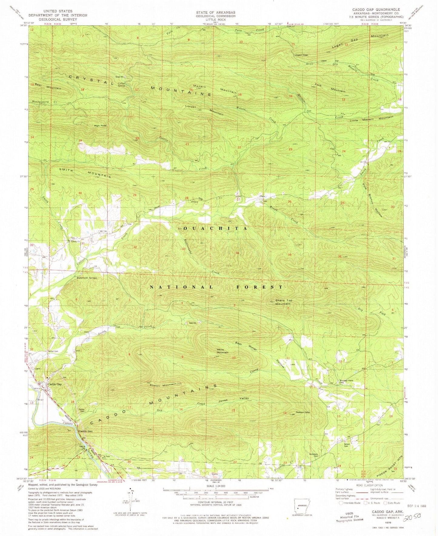
Classic USGS Caddo Gap Arkansas 7.5'x7.5' Topo Map
Couldn't load pickup availability
Historical USGS topographic quad map of Caddo Gap in the state of Arkansas. Map scale may vary for some years, but is generally around 1:24,000. Print size is approximately 24" x 27"
This quadrangle is in the following counties: Montgomery.
The map contains contour lines, roads, rivers, towns, and lakes. Printed on high-quality waterproof paper with UV fade-resistant inks, and shipped rolled.
Contains the following named places: Bassinger Cemetery, Bear Mountain, Bear Water Hollow, Bethel Cemetery, Black Cemetery, Buttermilk Springs, Caddo Gap, Caddo Gap Census Designated Place, Caddo Gap Post Office, Caddo Gap School, Caddo Gap Volunteer Fire Department, Chapel School, Collier Spring, Collier Spring Recreation Site, Crystal Mountain Scenic Area, Crystal Mountains, Family Cemetery, Fork Mountain, Gap Creek, Gap Creek Natural Area, Gap School, High Peak, Jones Cemetery, Jones Valley, Jones Valley Cemetery, Liberty Baptist Church, Liberty Cemetery, Liberty School, Little Mazarn Mountain, Locust Mountain, Logan Gap, Logan Gap Mountain, Mazarn Mountain, Mount Zion Cemetery, Mount Zion School, Mountain Home Cemetery, Mountain Home School, Nelson Cemetery, Nelson Mountain, Nicholson Cemetery, Nicholson School, Old Bethel School, Ophir, Plata, Pole Branch Hollow, Rattlesnake Creek, Rough Creek, Saint Pauls Church, Sharp Top Mountain, Shockey Chapel, Smith Creek, Smith Mountain, Strawn Mountain, Strawn Springs, Sylvan Lake, Township of Caddo Gap, Township of Norman, Township of Walnut, White Mountain, Wilson Creek


