MyTopo
Classic USGS Caddo Texas 7.5'x7.5' Topo Map
Regular price
$16.95
Regular price
Sale price
$16.95
Unit price
per
Couldn't load pickup availability
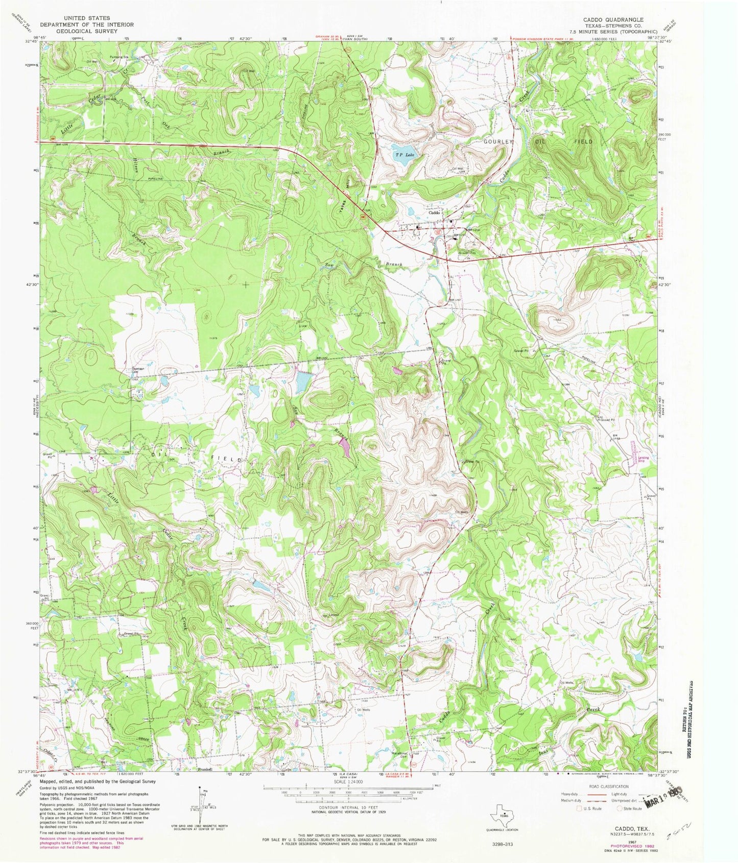
Historical USGS topographic quad map of Caddo in the state of Texas. Map scale may vary for some years, but is generally around 1:24,000. Print size is approximately 24" x 27"
This quadrangle is in the following counties: Stephens.
The map contains contour lines, roads, rivers, towns, and lakes. Printed on high-quality waterproof paper with UV fade-resistant inks, and shipped rolled.
Contains the following named places: Caddo, Caddo Cemetery, Caddo Post Office, Carey Lake, Carey Lake Dam, Gourley Oil Field, Hitson Branch, Macedonia Cemetery, Ohio Oil Company Lake Dam, Ohio Oil Company Reservoir, Post Oak Branch, Rogers Dam, Rogers Lake, Sow Branch, Swenson Cemetery, T P Lake, Yates Hill