MyTopo
Classic USGS Cadwell Illinois 7.5'x7.5' Topo Map
Couldn't load pickup availability
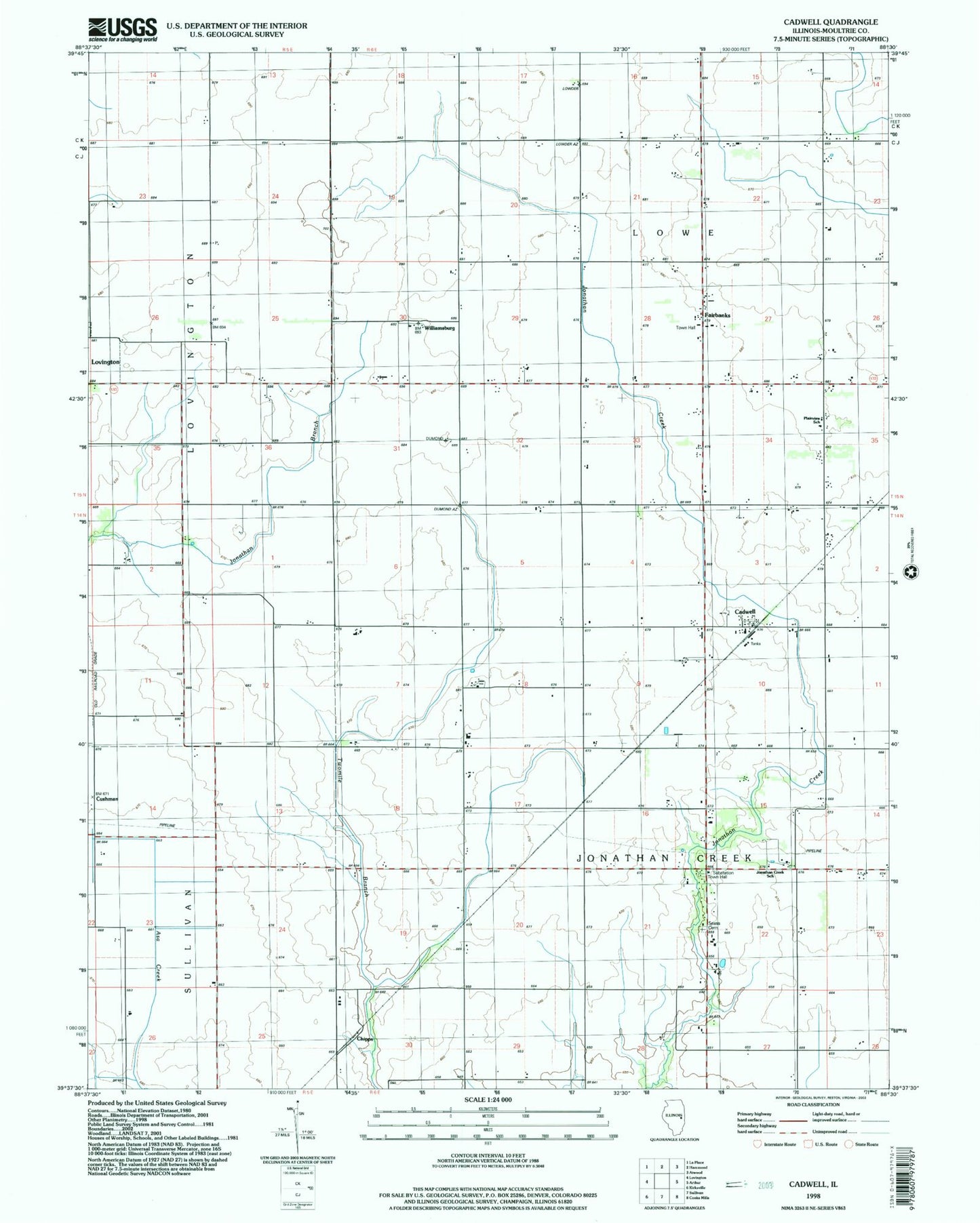
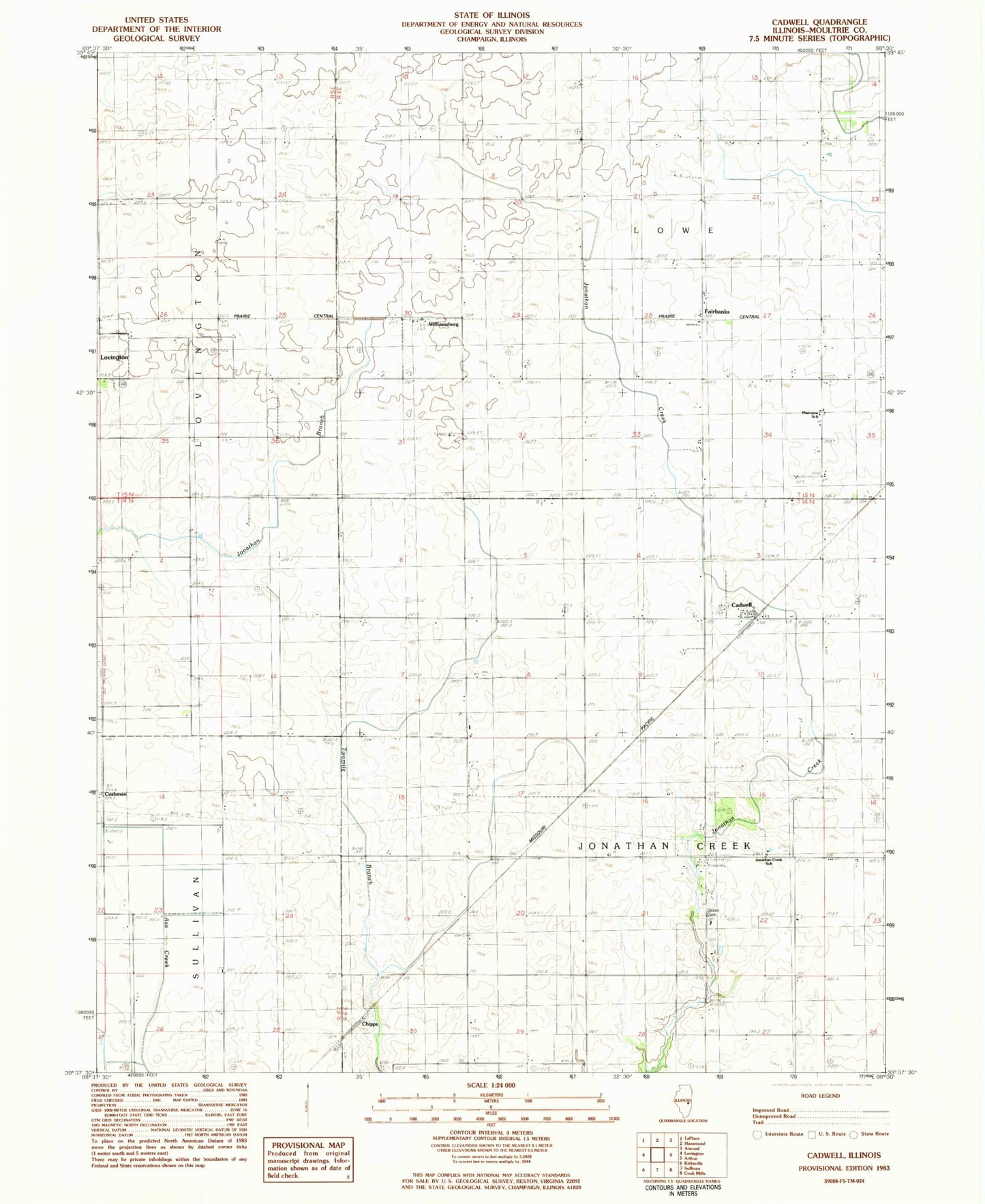
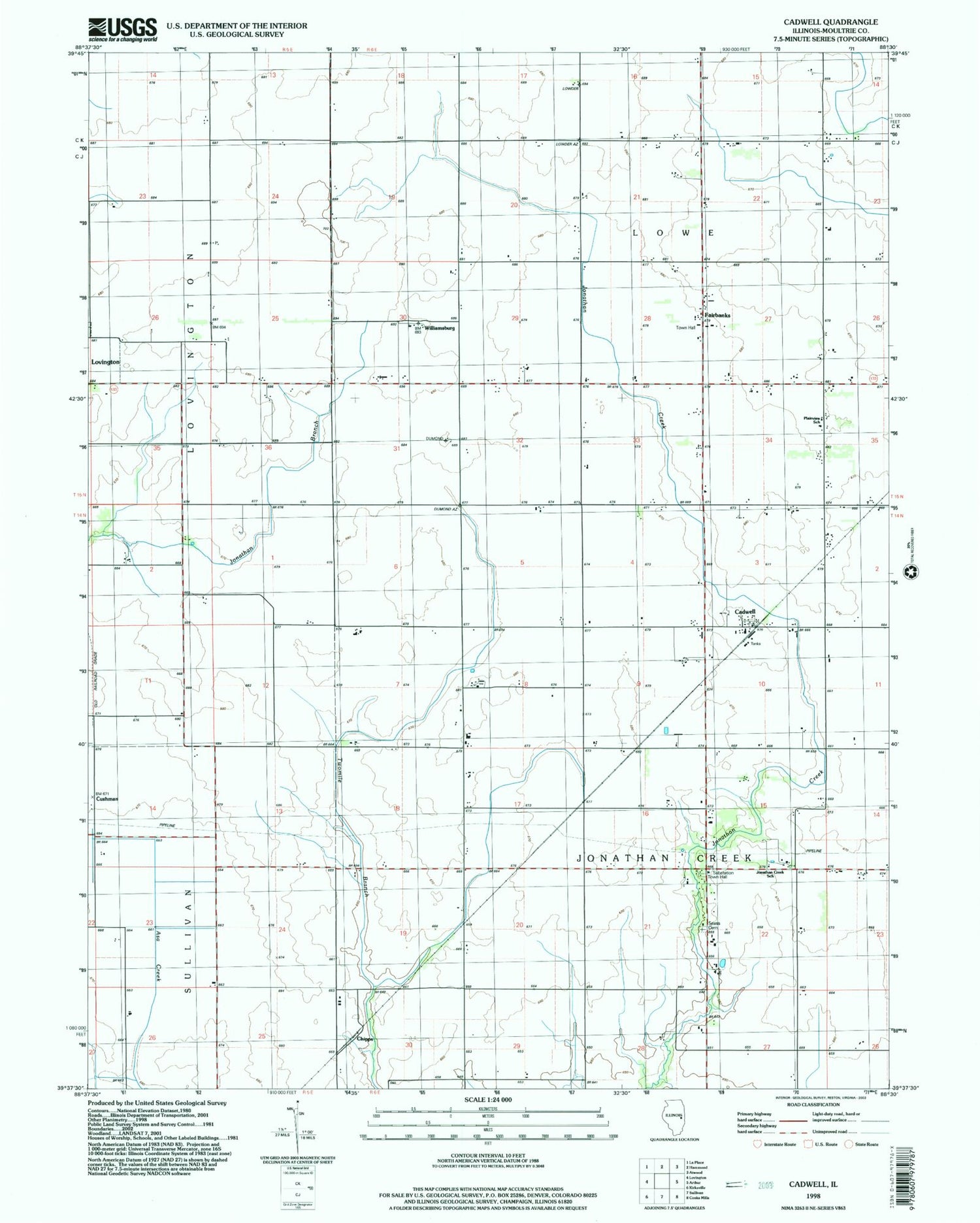
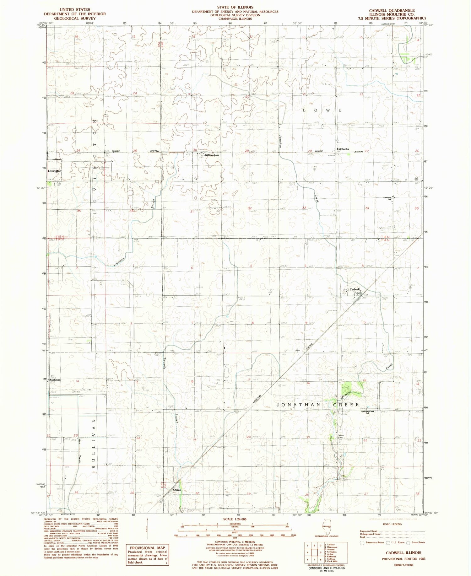
Historical USGS topographic quad map of Cadwell in the state of Illinois. Map scale may vary for some years, but is generally around 1:24,000. Print size is approximately 24" x 27"
This quadrangle is in the following counties: Moultrie.
The map contains contour lines, roads, rivers, towns, and lakes. Printed on high-quality waterproof paper with UV fade-resistant inks, and shipped rolled.
Contains the following named places: Boggs School, Cadwell, Center School, Chipps, Cushman, Durbin Airport, Dyer School, Eagle Lake Basin, Fairbanks, Fairview School, German School, Grandview School, Jonathan Creek School, Jonathan Creek Townhall, Lowe Townhall, Mentzer School, Merit School, Minor School, Morning Star School, Moultrie County, Plainview School, Rosedale School, Seass Cemetery, Township of Jonathan Creek, Township of Lowe, Twomile School, White School, Williamsburg, WKJR-FM (Sullivan)