MyTopo
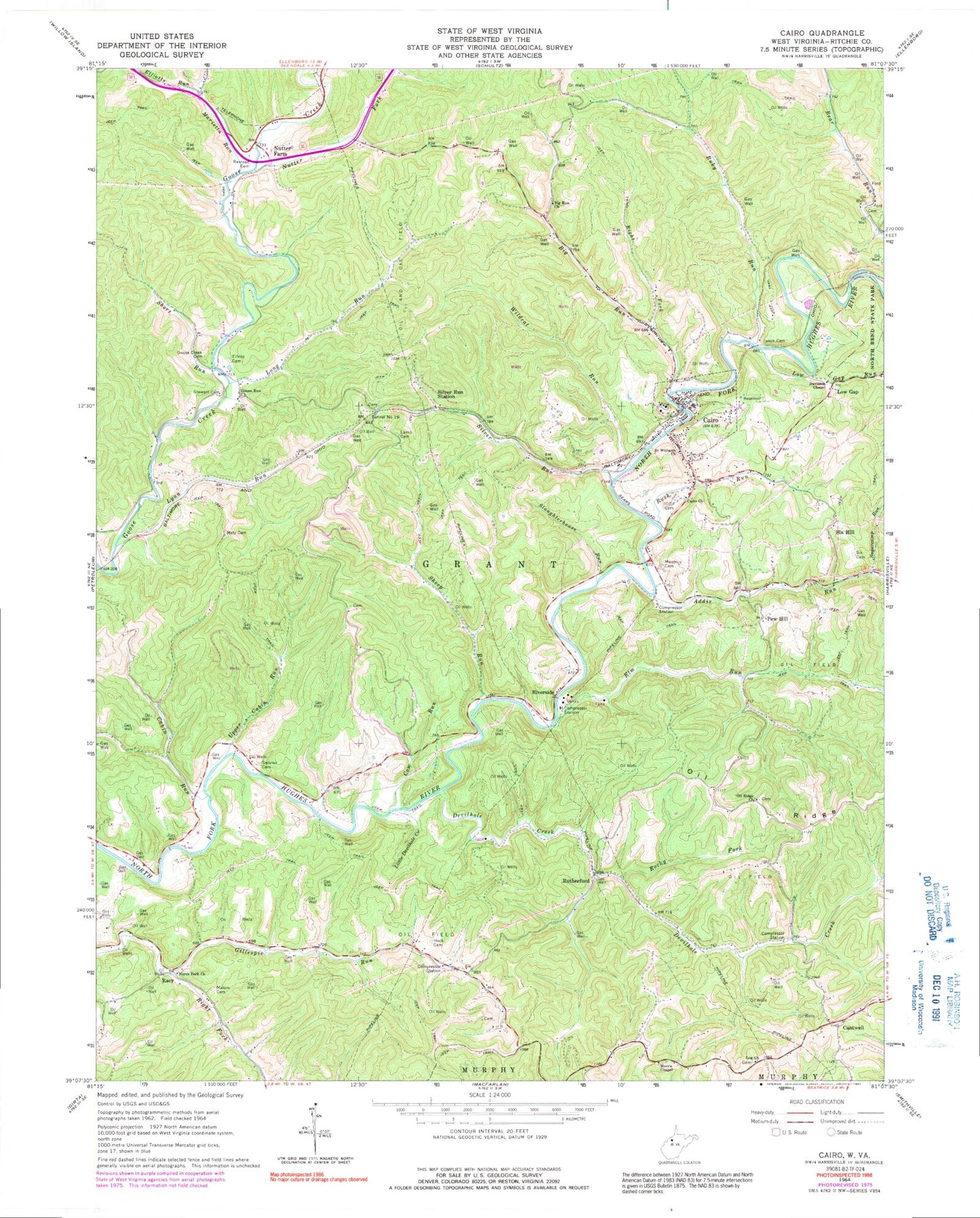
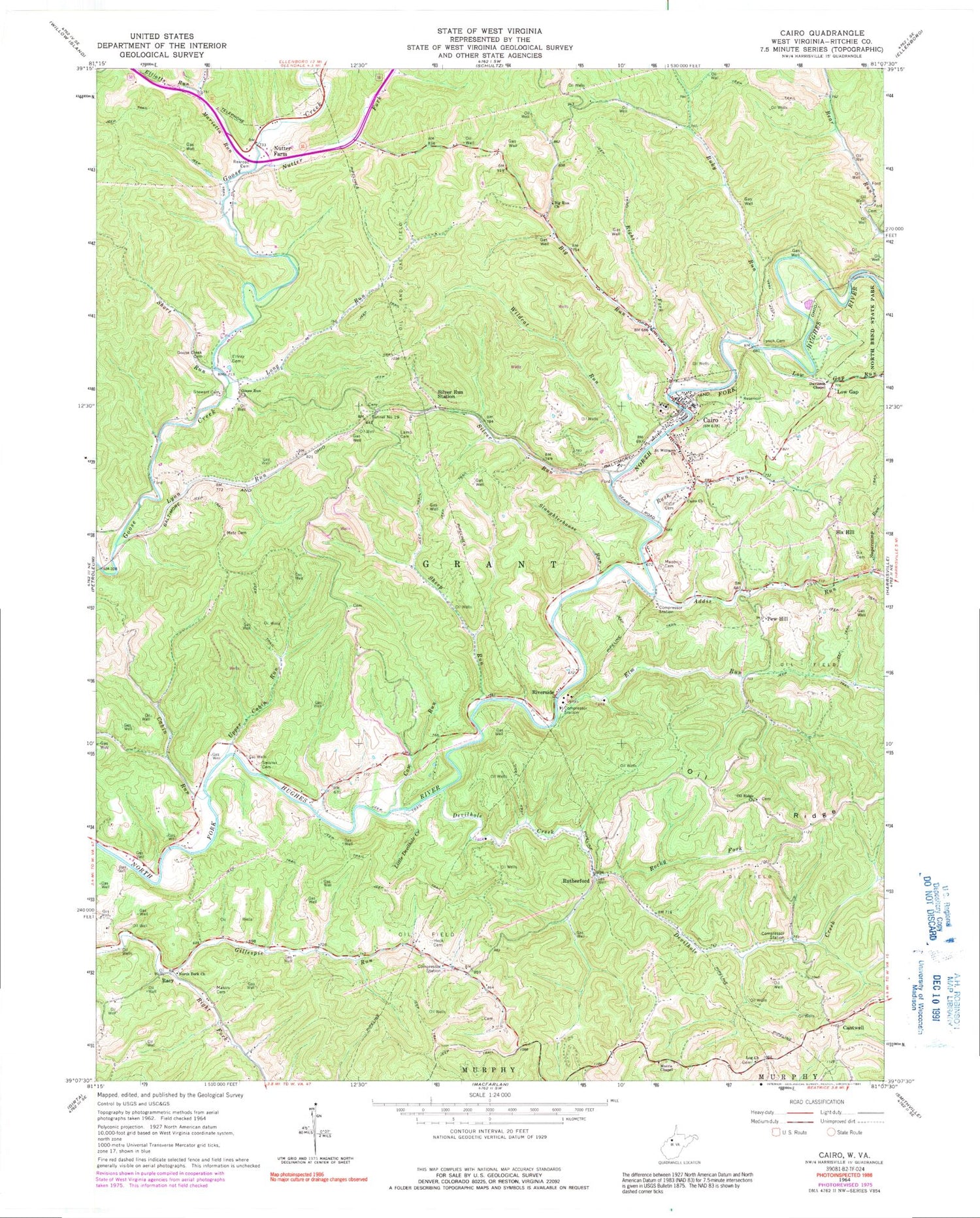
Classic USGS Cairo West Virginia 7.5'x7.5' Topo Map
Couldn't load pickup availability
Historical USGS topographic quad map of Cairo in the state of West Virginia. Map scale may vary for some years, but is generally around 1:24,000. Print size is approximately 24" x 27"
This quadrangle is in the following counties: Ritchie.
The map contains contour lines, roads, rivers, towns, and lakes. Printed on high-quality waterproof paper with UV fade-resistant inks, and shipped rolled.
Contains the following named places: Addis Run, Big Run, Big Run Church, Big Run School, Buky Run, Buky Run School, Cabin Run, Cabin Run School, Cairo, Cairo Church, Cairo Elementary School, Cairo Middle School, Cairo Post Office, Cairo Volunteer Fire Department, Cantwell, Cow Run, Davisson Chapel, Devilhole Creek, Donohue Post Office, Elfritz Cemetery, Elliotts Run, Elm Run, Elm Run School, Goose Creek Cemetery, Goose Run Church, Grant District, Heck Cemetery, International Order of Odd Fellows Cemetery, Jackson School, Lamb Cemetery, Little Devilhole Creek, Log Church, Long Run, Low Gap, Low Gap Run, Low Gap School, Lower Addis Run School, Lynch Cemetery, Lynn Run, Marietta Run, Mason Cemetery, Metz Cemetery, Morris Chapel, North Fork Church, Number One West of Cornwallis Dam, Nutter Farm, Nutter Farm School, Nutter Fork, Oil Ridge, Oil Ridge Church, Oil Ridge School, Pew Hill, Phillips School, Racy, Rexroach Cemetery, Right Fork Big Run, Right Fork Gillespie Run, Riverside, Rocky Fork, Rush Run, Rutherford, Saint Williams Church, Sheep Run, Short Run, Short Run School, Silver Run, Silver Run Station, Six Cemetery, Six Hill, Slaughterhouse Run, Stewart Cemetery, Sugarcamp Run, Swisher Cemetery, Tarkiln School, Town of Cairo, Tunnel Number 19, Upper Cabin Run, Upper Devil Hole School, Victory School, Wildcat Run, ZIP Codes: 26161, 26337


