
MyTopo
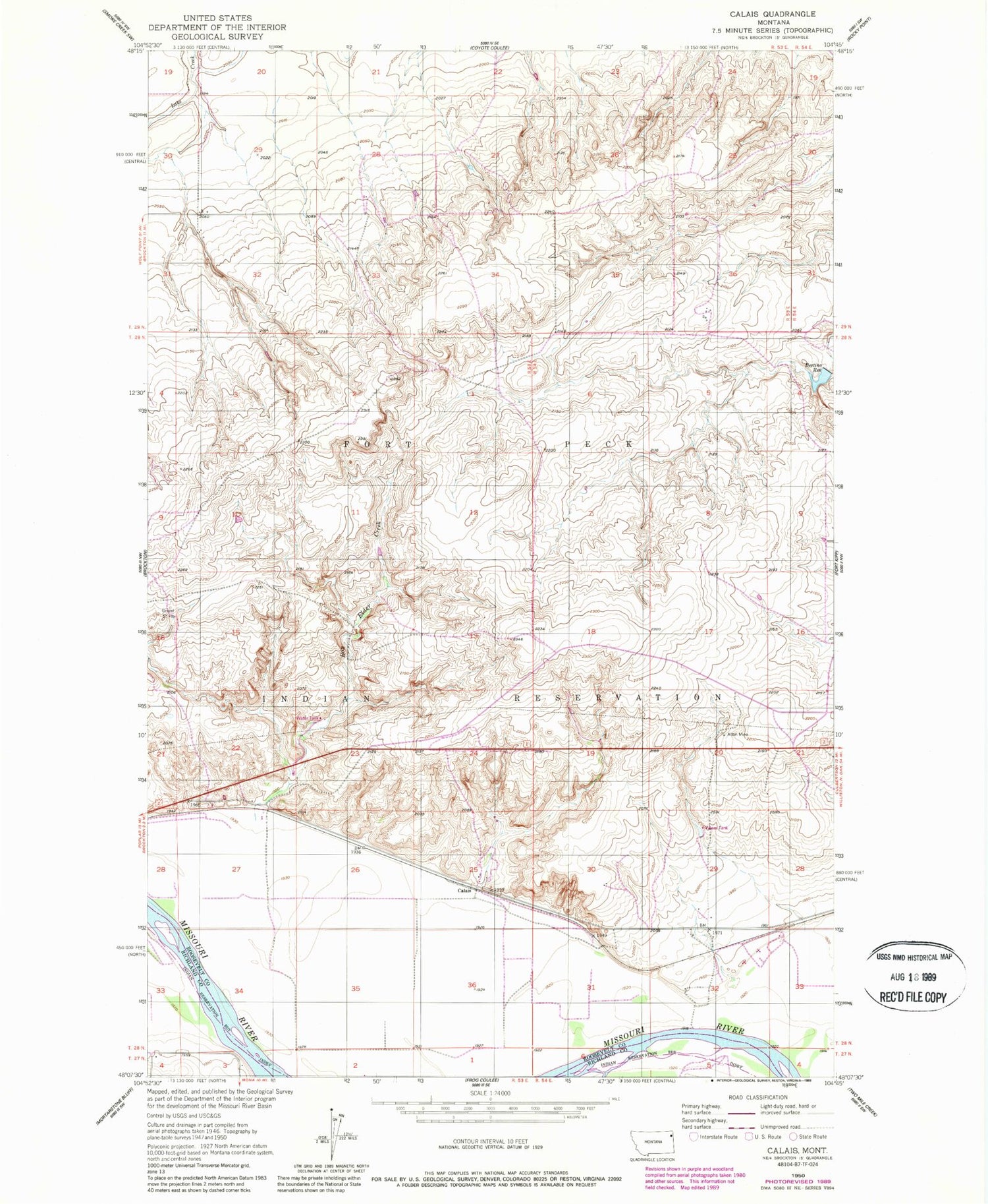
Classic USGS Calais Montana 7.5'x7.5' Topo Map
Couldn't load pickup availability
Historical USGS topographic quad map of Calais in the state of Montana. Map scale may vary for some years, but is generally around 1:24,000. Print size is approximately 24" x 27"
This quadrangle is in the following counties: Richland, Roosevelt.
The map contains contour lines, roads, rivers, towns, and lakes. Printed on high-quality waterproof paper with UV fade-resistant inks, and shipped rolled.
Contains the following named places: 27N53E03AA__01 Well, 27N53E03BA__01 Well, 27N53E04AA__01 Well, 28N53E22DA__01 Well, 28N53E22DC__01 Well, 28N53E22DC__02 Well, 28N53E22DD__01 Well, 28N53E22DD__02 Well, 28N53E25AA__01 Well, 28N53E25CA__01 Well, 28N53E25DBBC01 Well, 28N53E26AD__01 Well, 28N53E26BC__01 Well, 28N53E26CC__01 Well, 28N53E27AA__01 Well, 28N53E27CB__01 Well, 28N53E34AD__01 Well, 28N53E35DD__01 Well, 28N54E19CADB01 Well, 28N54E28CC__01 Well, 28N54E29CD__01 Well, 28N54E31AA__01 Well, 28N54E32BA__01 Well, 29N53E27CABD01 Well, 29N53E32BBBB01 Well, 29N53E36CDCC01 Well, Alton Mine, Bertino Dam, Bertino Reservoir, Blair Gravel Pit, Box Elder Creek, Calais, Fort Kipp, Lewis and Clark National Historic Trail


