MyTopo
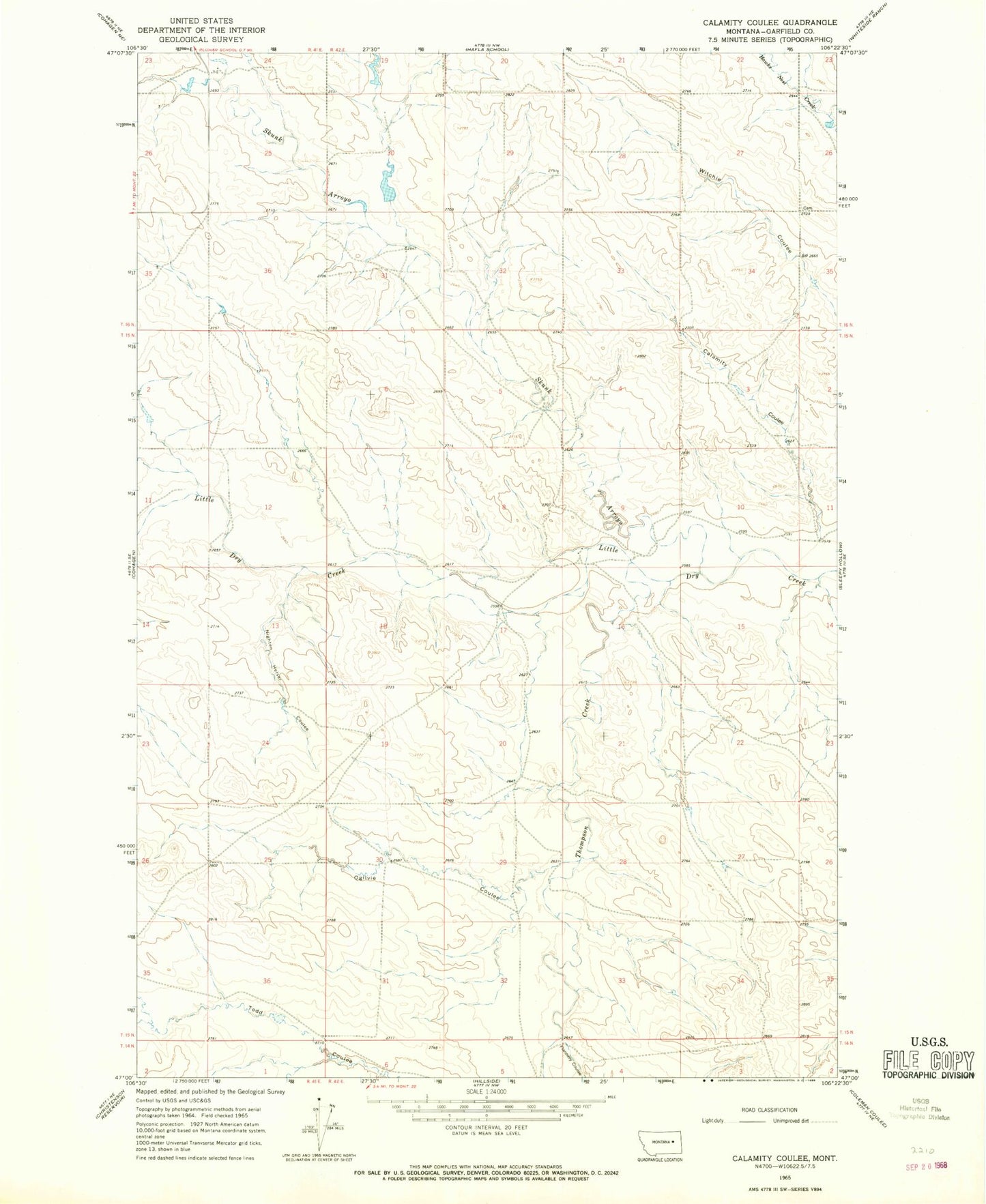
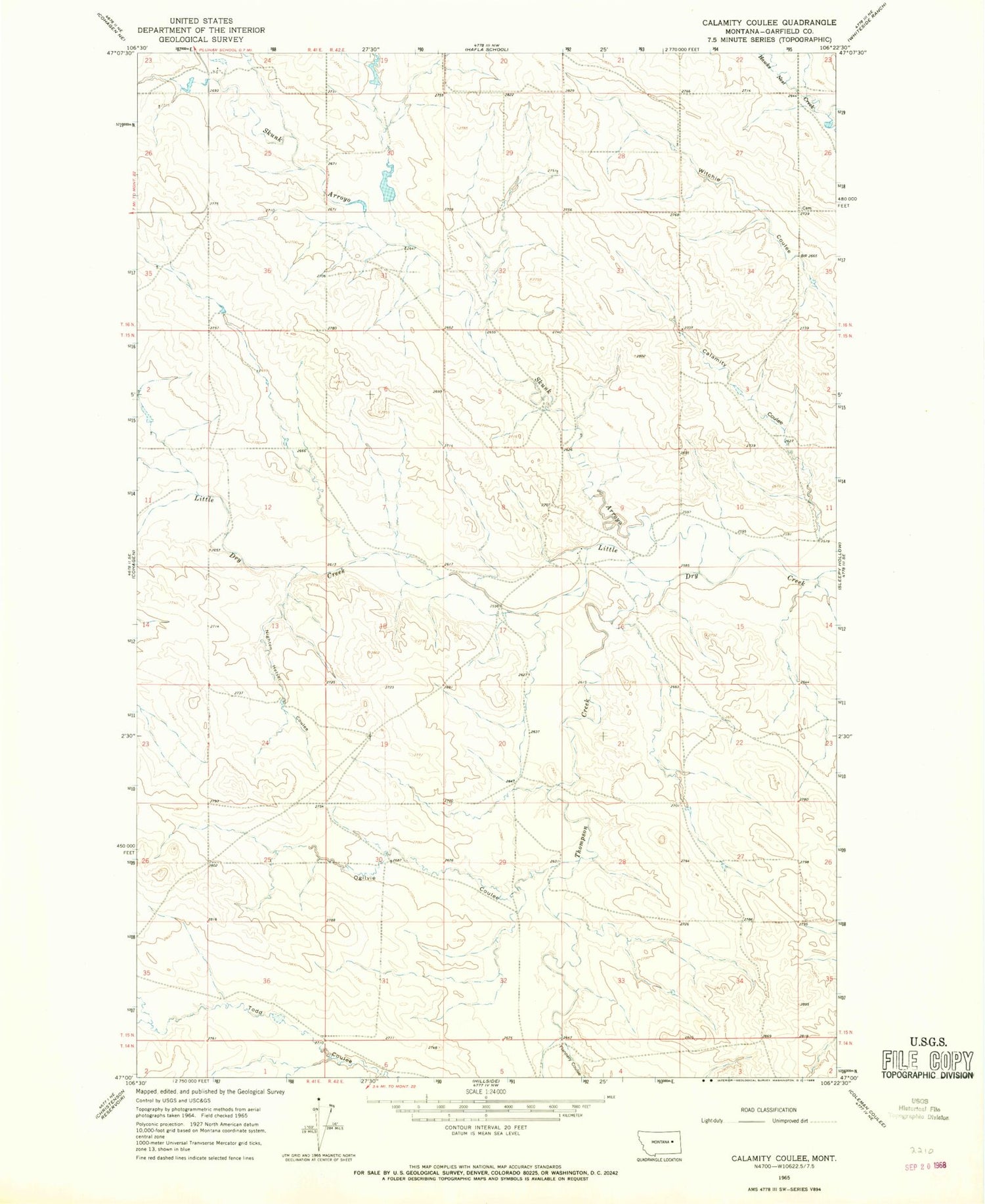
Classic USGS Calamity Coulee Montana 7.5'x7.5' Topo Map
Regular price
$16.95
Regular price
Sale price
$16.95
Unit price
per
Couldn't load pickup availability
Historical USGS topographic quad map of Calamity Coulee in the state of Montana. Map scale may vary for some years, but is generally around 1:24,000. Print size is approximately 24" x 27"
This quadrangle is in the following counties: Garfield.
The map contains contour lines, roads, rivers, towns, and lakes. Printed on high-quality waterproof paper with UV fade-resistant inks, and shipped rolled.
Contains the following named places: 15N42E04CCDB01 Well, 16N42E34CCCC01 Well, Allen, Allen Post Office, Calamity Coulee, Flannery Coulee, Nighten Helser Coulee, Ogilvie Coulee, Our Lady of Carmel Church, Skunk Arroyo, Thompson Creek, William Pluhar Dam