MyTopo
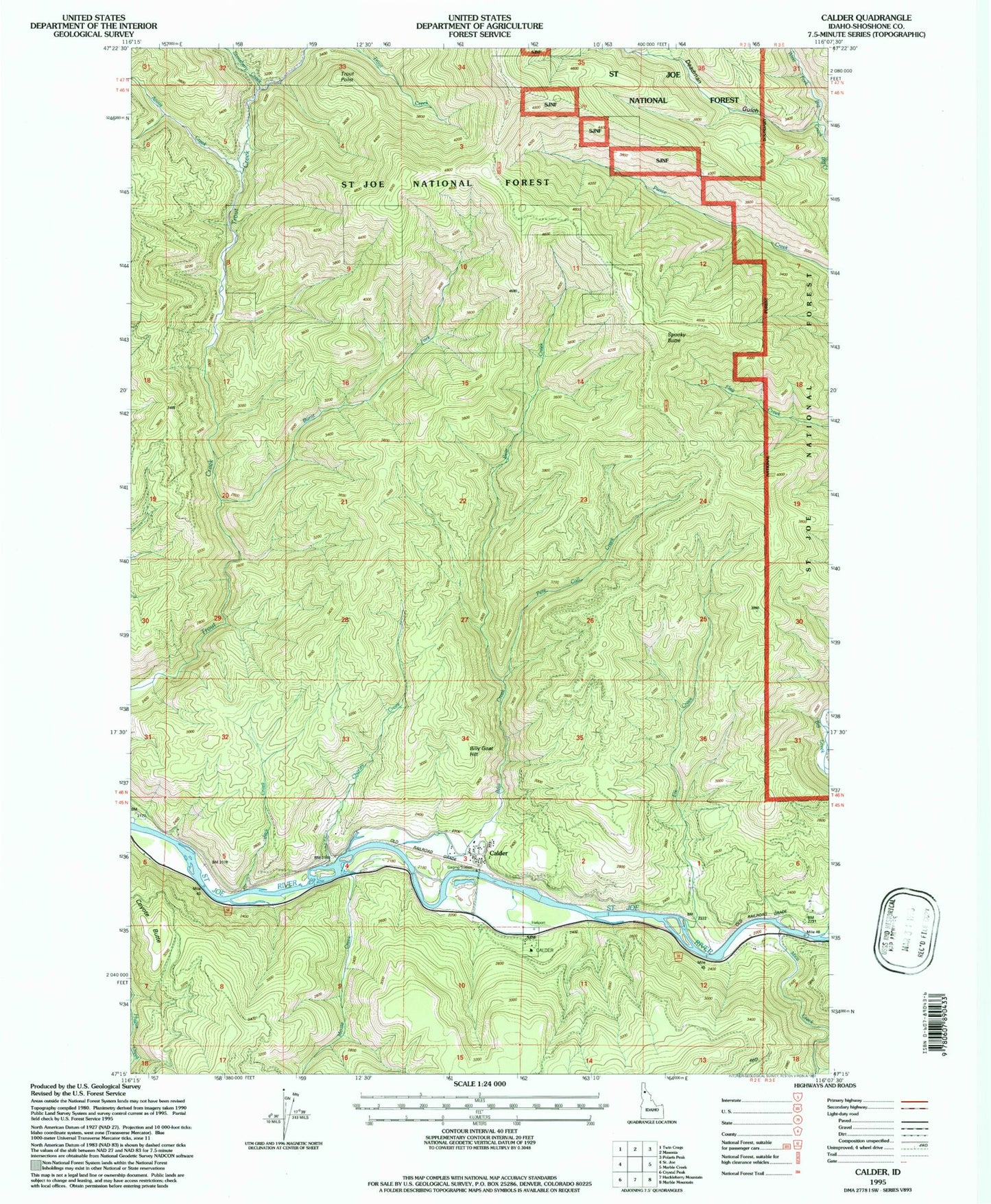
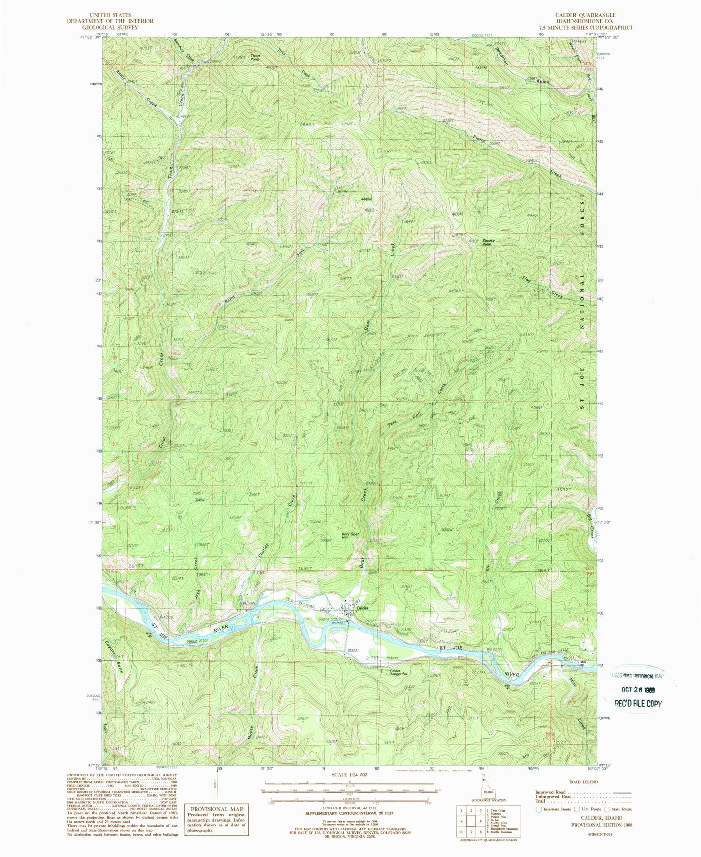
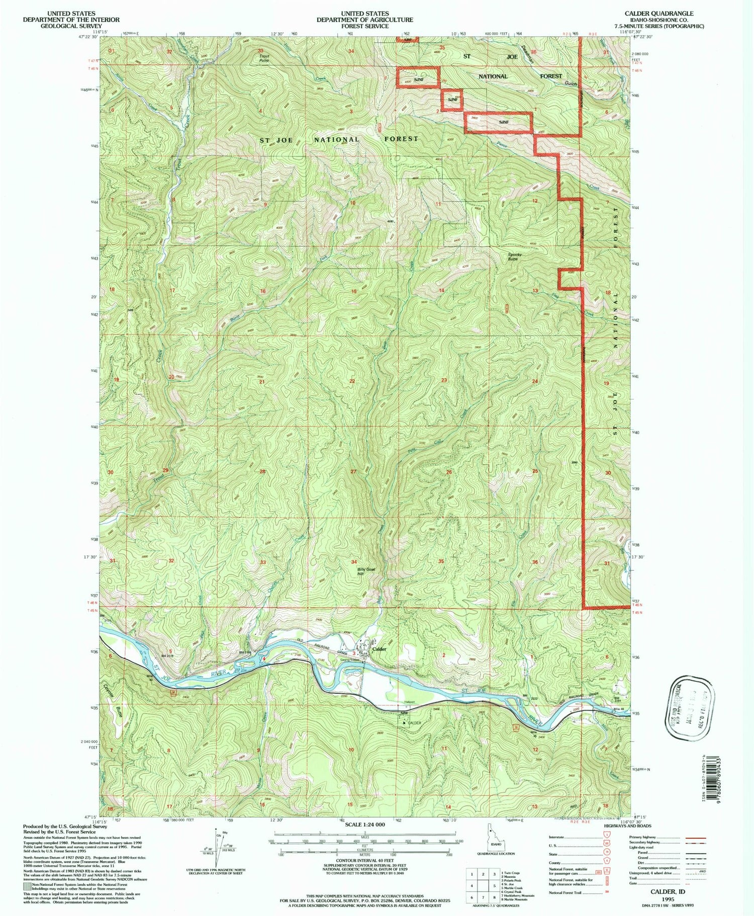
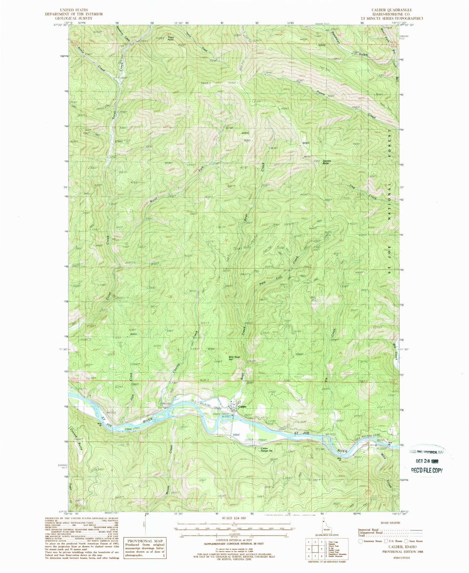
Classic USGS Calder Idaho 7.5'x7.5' Topo Map
Couldn't load pickup availability
Historical USGS topographic quad map of Calder in the state of Idaho. Map scale may vary for some years, but is generally around 1:24,000. Print size is approximately 24" x 27"
This quadrangle is in the following counties: Shoshone.
The map contains contour lines, roads, rivers, towns, and lakes. Printed on high-quality waterproof paper with UV fade-resistant inks, and shipped rolled.
Contains the following named places: Annis Creek, Bear Creek, Billy Goat Hill, Burnt Fork, Calder, Calder Elementary-Junior High School, Calder Post Office, Calder Work Center, Charley Creek, Deadman Gulch, Elk Creek, Jack Creek, Mica Creek, Middle Fork Big Creek, Moose Creek, Pete Coll Creek, Pierce Creek, Saint Joe Emergency Medical Services Unit 2, Saint Joe Valley Fire District, Spooky Butte, Stansbury Creek, Trout Point, West Fork Big Creek


