MyTopo
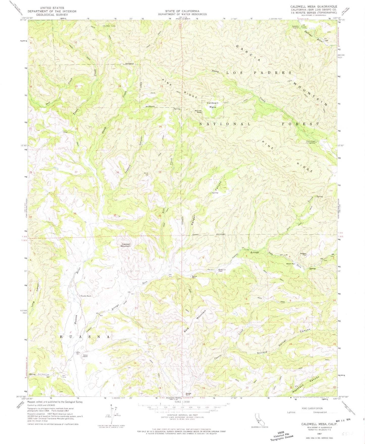
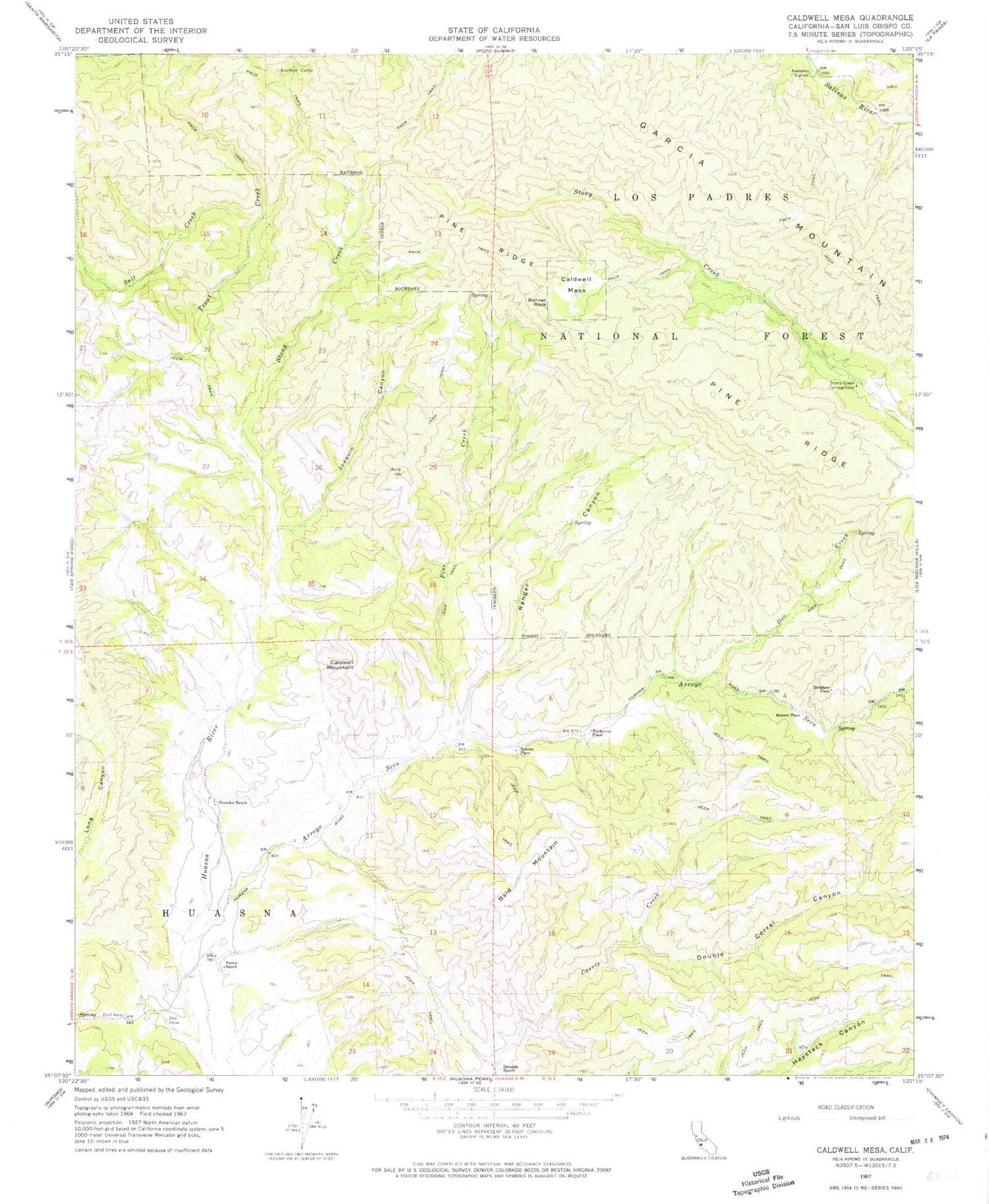
Classic USGS Caldwell Mesa California 7.5'x7.5' Topo Map
Couldn't load pickup availability
Historical USGS topographic quad map of Caldwell Mesa in the state of California. Map scale may vary for some years, but is generally around 1:24,000. Print size is approximately 24" x 27"
This quadrangle is in the following counties: San Luis Obispo.
The map contains contour lines, roads, rivers, towns, and lakes. Printed on high-quality waterproof paper with UV fade-resistant inks, and shipped rolled.
Contains the following named places: Arroyo Seco, Avenales Station, Bald Mountain, Bonnet Rock, Buckeye Camp, Caldwell Mesa, Caldwell Mountain, Colwell Ranch, Double Corral Canyon, Garcia Wilderness, Hathaway Place, Hubert Place, Joaquin Canyon, Oso Creek, Pine Creek, Pine Ridge, Porter Ranch, Ranger Canyon, Records Ranch, Reeves Place, Renshaw Place, Salt Creek, Stony Creek, Stony Creek Campground, Trout Creek, Venados Ranch