MyTopo
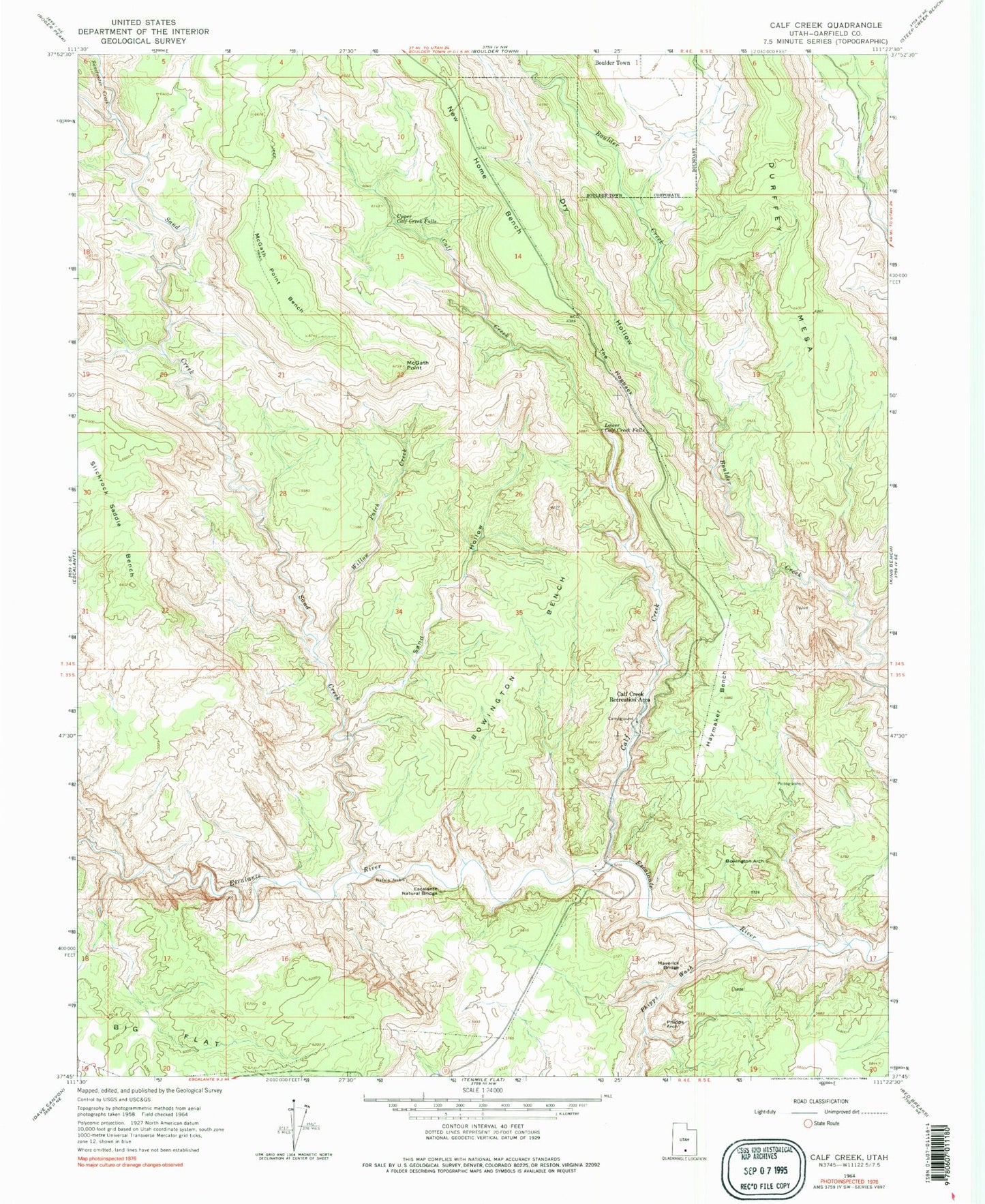
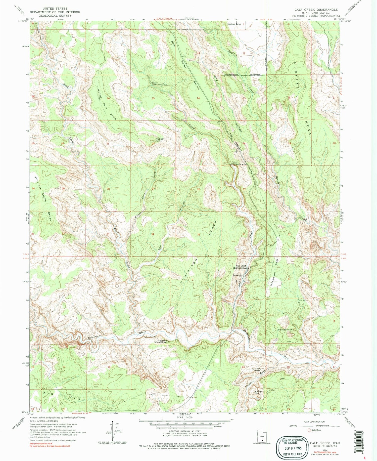
Classic USGS Calf Creek Utah 7.5'x7.5' Topo Map
Couldn't load pickup availability
Historical USGS topographic quad map of Calf Creek in the state of Utah. Typical map scale is 1:24,000, but may vary for certain years, if available. Print size: 24" x 27"
This quadrangle is in the following counties: Garfield.
The map contains contour lines, roads, rivers, towns, and lakes. Printed on high-quality waterproof paper with UV fade-resistant inks, and shipped rolled.
Contains the following named places: Bowington Arch, Bowington Bench, Calf Creek, Calf Creek Recreation Area, Haymaker Bench, Lower Calf Creek Falls, McGath Point, McGath Point Bench, Phipps Arch, Phipps Wash, Sand Hollow, The Hogback, Upper Calf Creek Falls, Willow Patch Creek, Boynton Lookout, Dry Hollow, Durffey Mesa, New Home Bench, Sand Creek, Sweetwater Creek, Garfield County, Escalante Natural Bridge, Maverick Bridge, Calf Creek Campground, Escalante Division


