MyTopo
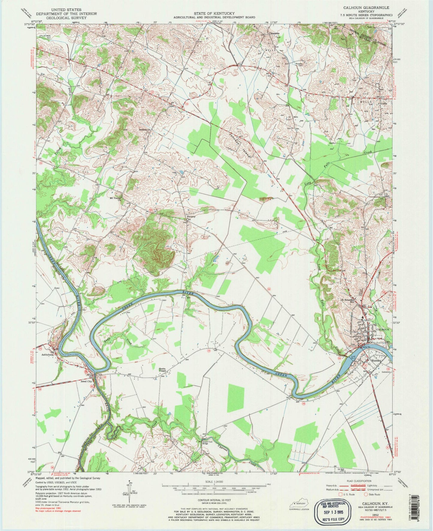
Classic USGS Calhoun Kentucky 7.5'x7.5' Topo Map
Couldn't load pickup availability
Historical USGS topographic quad map of Calhoun in the state of Kentucky. Map scale may vary for some years, but is generally around 1:24,000. Print size is approximately 24" x 27"
This quadrangle is in the following counties: Daviess, Hopkins, McLean.
The map contains contour lines, roads, rivers, towns, and lakes. Printed on high-quality waterproof paper with UV fade-resistant inks, and shipped rolled.
Contains the following named places: Antioch Church, Ashbyburg, Calhoun, Calhoun Cemetery, Calhoun City Fire Department, Calhoun Division, Calhoun Post Office, Cave Creek, Charles Hansford Historical Marker, City of Calhoun, Cleopatra, Corporal James Bethel Gresham Memorial Bridge Historical Marker, Cypress Creek, Eagle Creek, General Forrest Reconnaissance Historical Marker, Glovers, Gravel Ford Bridge, Guffie, Jewel City, Johnson Island, Leachman, Lock Number 2, Long Falls Creek, Mayo Hills, McLean County, McLean County Ambulance Service, McLean County Central District Fire Department, McLean County Historical Marker, McLean County Sheriff's Office, Moseley Field, Mount Vernon, Mount Vernon Baptist Church, Myer Creek, Otter Creek, Pitman Creek, Pond River, Poverty, Rumsey, Rumsey Census Designated Place, Rumsey Historical Marker, Saint Sebastian School, Shutts, Shutts Chapel, Smith Airport, The Bend, Tichenor Hills, Woosley Airport, Woosley Field, ZIP Codes: 42327, 42371


