MyTopo
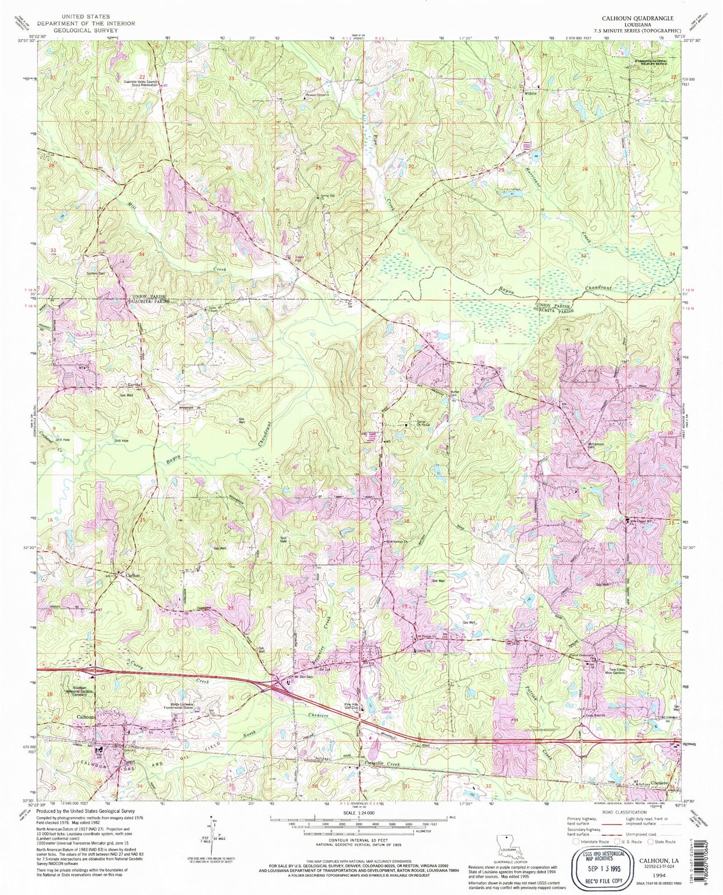
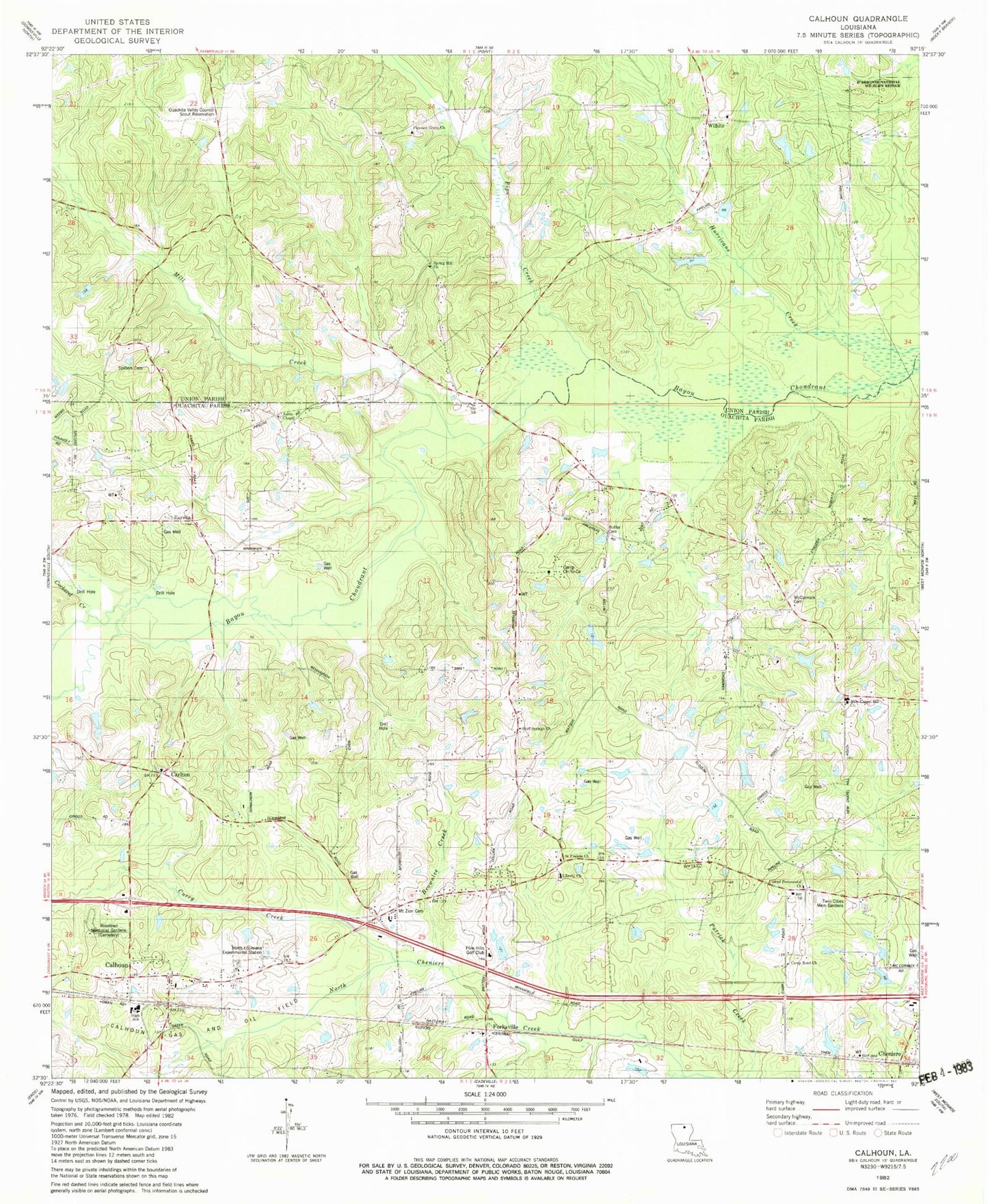
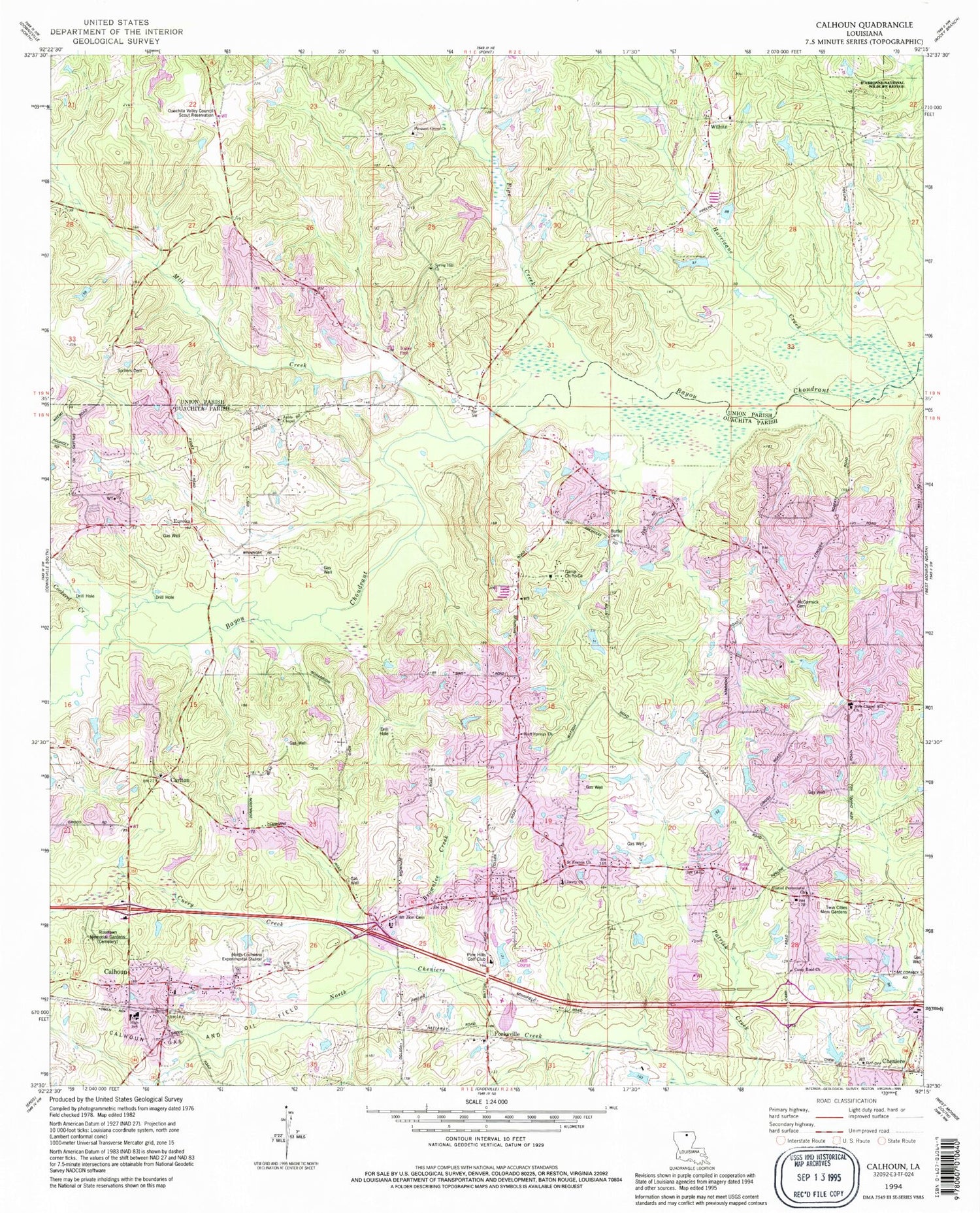
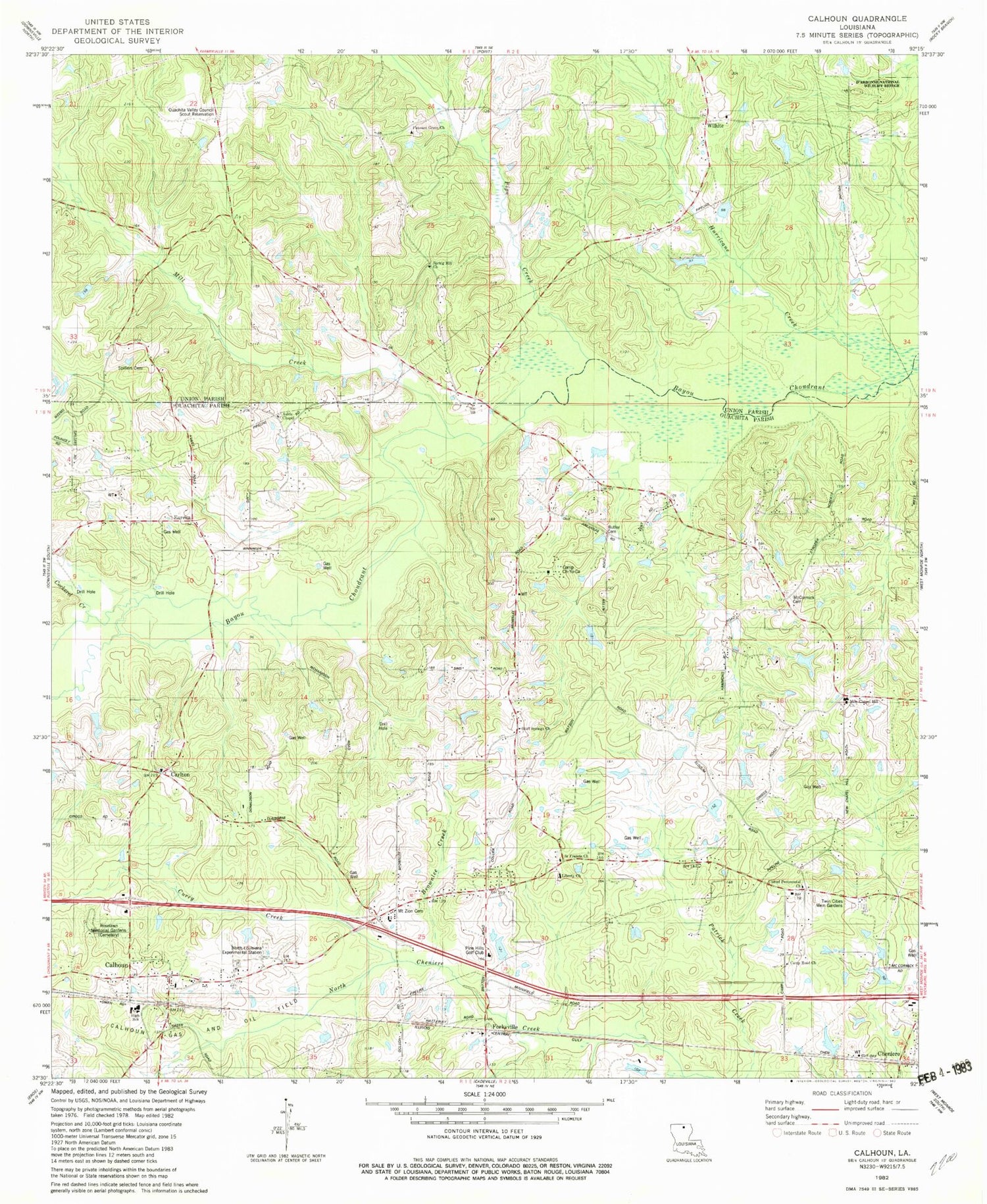
Classic USGS Calhoun Louisiana 7.5'x7.5' Topo Map
Couldn't load pickup availability
Historical USGS topographic quad map of Calhoun in the state of Louisiana. Map scale may vary for some years, but is generally around 1:24,000. Print size is approximately 24" x 27"
This quadrangle is in the following counties: Ouachita, Union.
The map contains contour lines, roads, rivers, towns, and lakes. Printed on high-quality waterproof paper with UV fade-resistant inks, and shipped rolled.
Contains the following named places: Aulds Chapel, Bluff Springs Church, Browntee Creek, Butler Cemetery, Calhoun, Calhoun Census Designated Place, Calhoun Elementary School, Calhoun Gas and Oil Field, Calhoun Middle School, Calhoun Post Office, Camp Ch-Yo-Ca, Camp Road Church, Carlton, Carlton Church, Carlton Gas Field, Center School, Cockerel Creek, Curry Creek, Drew Gas Field, Eureka, Eureka School, Forksville, Jerusalem Baptist Church, Lejeune Pond, Lejeune Pond Dam, Liberty Baptist Church, Louisiana Delta Community College West Monroe Campus, McCormick Cemetery, Mill Creek, Mount Zion Cemetery, New Chapel Hill Baptist Church, North Louisiana Experimental Station, Ouachita Parish Fire Protection District 1 Station 16, Ouachita Parish Fire Protection District 1 Station 8, Ouachita Valley Council Scout Reservation, Pine Hills Golf Club, Pipe Creek, Pleasant Grove Church, Roselawn Memorial Gardens, Saint Francis Church, Spillers Cemetery, Spring Hill Church, Trace Estates, Twin Cities Memorial Gardens, United Pentecostal Church, Walnut Lane, Ward Six, West Ouachita Industrial Park, Wilhite, Wilhite Cemetery, ZIP Code: 71225


