MyTopo
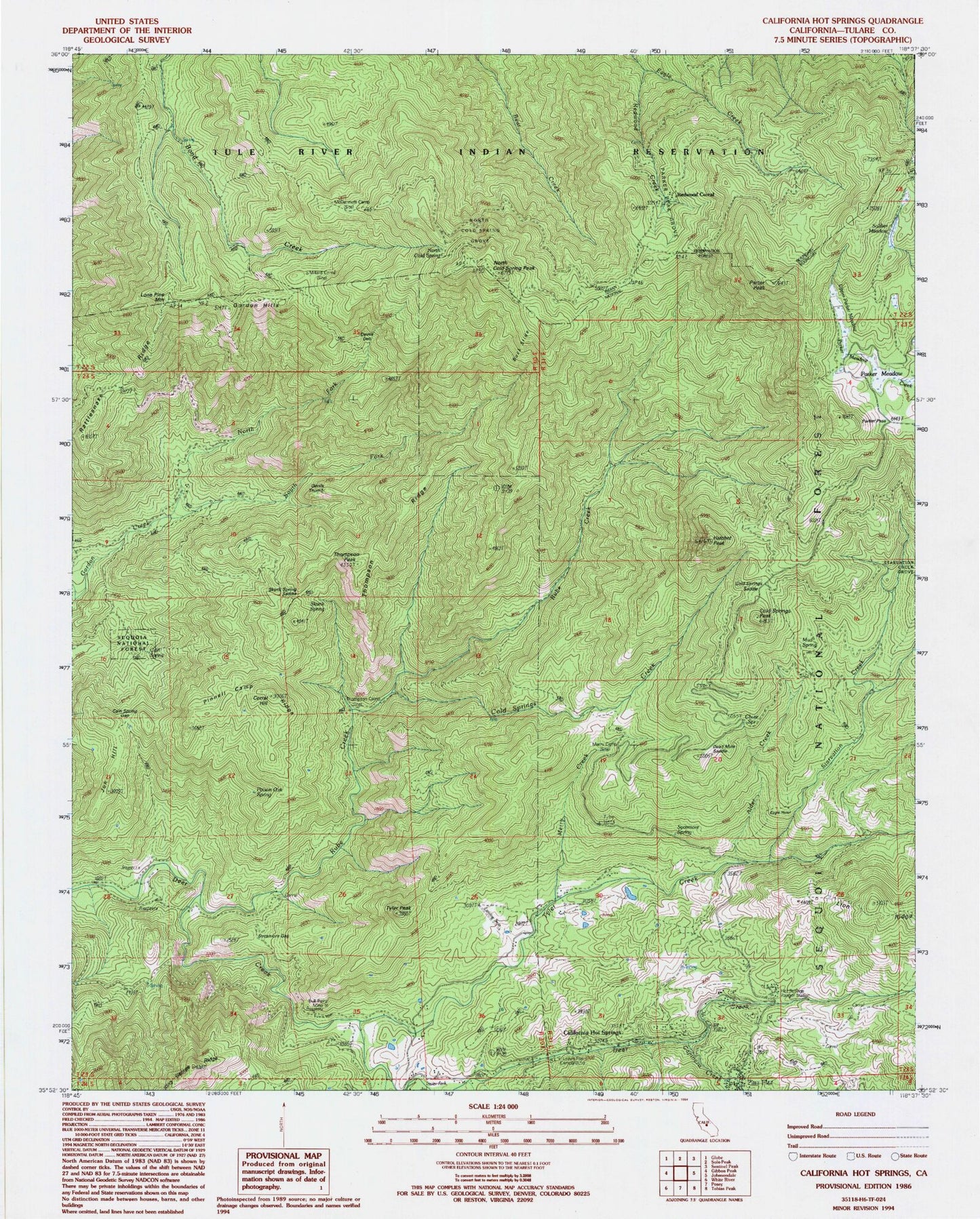
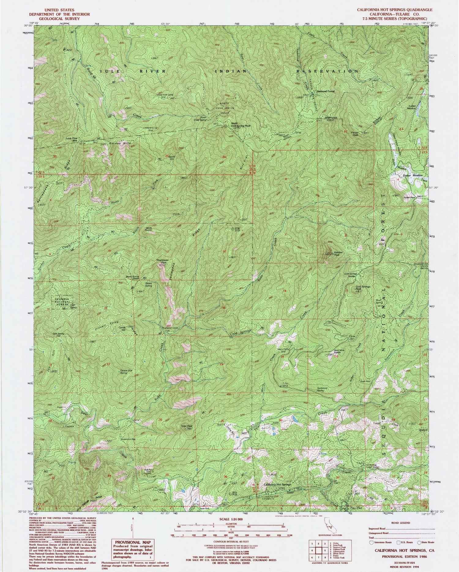
Classic USGS California Hot Springs California 7.5'x7.5' Topo Map
Couldn't load pickup availability
Historical USGS topographic quad map of California Hot Springs in the state of California. Map scale may vary for some years, but is generally around 1:24,000. Print size is approximately 24" x 27"
This quadrangle is in the following counties: Tulare.
The map contains contour lines, roads, rivers, towns, and lakes. Printed on high-quality waterproof paper with UV fade-resistant inks, and shipped rolled.
Contains the following named places: Alder Creek, Buck Slide, Bull Point Mine, Cain Spring, Cain Spring Gap, California Hot Springs, California Hot Springs Census Designated Place, California Hot Springs Post Office, Capinero Creek, Chute Spring, Cold Springs Creek, Cold Springs Peak, Cold Springs Saddle, Corral Hill, Cougar Camp, Dead Mule Saddle, Devils Den, Devils Thumb, Eagle Hotel, Frankum Ranch, Gordon Hills, Hatchet Peak, Hot Springs Elementary School, Hot Springs Ranger Station, Jon Hill, Leavis Flat Campground, Lone Pine Mountain, McDermott Camp, Merry Camp, Merry Creek, Millard Corral, Mud Spring, North Cold Spring, North Cold Spring Grove, North Cold Spring Peak, North Fork Gordon Creek, Parker Meadow, Parker Meadow Stock Driveway, Parker Pass, Parker Peak, Parker Peak Grove, Pine Flat, Pinnell Camp Ridge, Poison Oak Spring, Rattlesnake Ridge, Redwood Corral, Redwood Creek, Rube Creek, Skunk Spring, Skunk Spring Saddle, Soldier Meadow, South Fork Gordon Creek, Starvation Creek, Stone Place, Sycamore Gap, Sycamore Spring, Thompson Camp, Thompson Peak, Thompson Ridge, Tyler Creek, Tyler Creek Fire Control Station, Tyler Peak, Uhi Station, Upper Parker Meadow, ZIP Code: 93207


