MyTopo
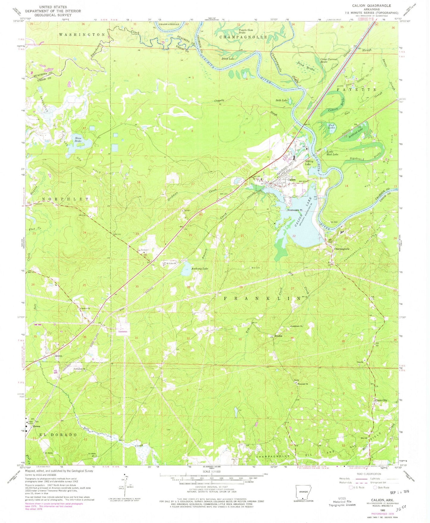
Classic USGS Calion Arkansas 7.5'x7.5' Topo Map
Couldn't load pickup availability
Historical USGS topographic quad map of Calion in the state of Arkansas. Map scale may vary for some years, but is generally around 1:24,000. Print size is approximately 24" x 27"
This quadrangle is in the following counties: Calhoun, Ouachita, Union.
The map contains contour lines, roads, rivers, towns, and lakes. Printed on high-quality waterproof paper with UV fade-resistant inks, and shipped rolled.
Contains the following named places: Adams Cemetery, Amason Creek, Anthony Lake, Anthony Lake Dam, Artificial Lake, Babb Lake, Bethel Church Cemetery, Bethel Primitive Baptist Church, Bird Cemetery, Calion, Calion Lake, Calion Police Department, Calion Post Office, Calion Volunteer Fire Department, Champagnole - Castleberry Cemetery, Champagnolle, Champagnolle Creek, Champagnolle Landing Oil Field, Champagnolle Oil Field, Chapelle Slough, City of Calion, Cobeen Brake, Cossart Cemetery, Crabapple Point, Crain City, Cross Country Slough Oil Field, Cross Current Brake, Cross Current Slough, Daniels Cemetery, Dead Brake, Ditch Lake, Dry Creek, Ebenezer Church Cemetery, Ebenezer Methodist Church, El Dorado Shoals, First Baptist Church, Flat Creek, Gar Slough, Goodman Creek, Haynes Creek, Herma, Jerusalem Cemetery, Jerusalem Church, Lake Calion Dam, Langford Cemetery, Little Mud Lake, Longview Church, Meek Cemetery, Mud Lake, Mud Lake Oil and Gas Field, Newton - Dunaway Cemetery, Nickey Lake, Quinn, Ritchie, Saint Luke Church, Salt Creek, Shaw Brake, Signboard Brake, Smackover Creek, Smackover Oil and Gas Field, Smackover Shoals, Suggs Cemetery, Tom Creek, Township of Franklin, Tupelo Gum Brake, ZIP Code: 71724


