MyTopo
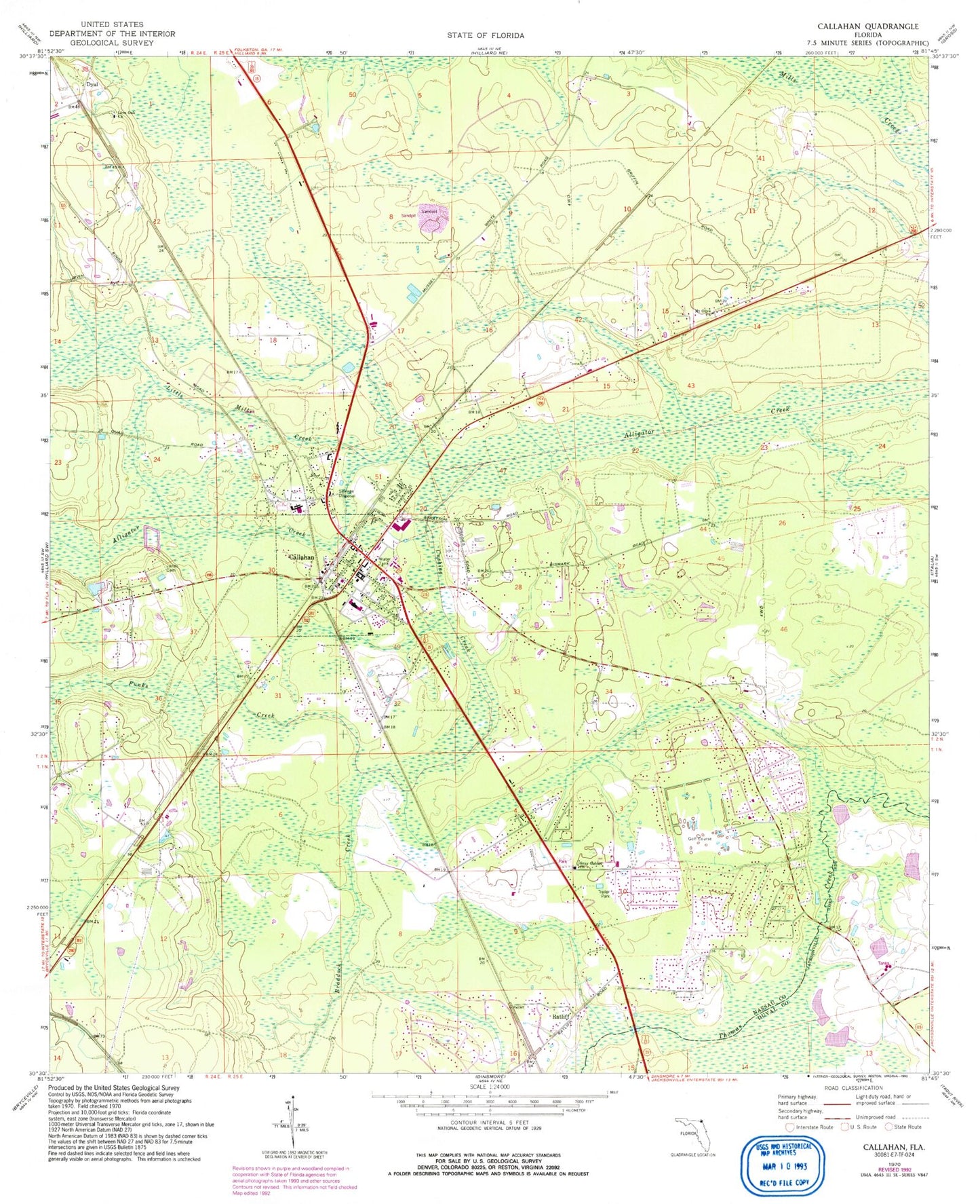
Classic USGS Callahan Florida 7.5'x7.5' Topo Map
Couldn't load pickup availability
Historical USGS topographic quad map of Callahan in the state of Florida. Map scale may vary for some years, but is generally around 1:24,000. Print size is approximately 24" x 27"
This quadrangle is in the following counties: Duval, Nassau.
The map contains contour lines, roads, rivers, towns, and lakes. Printed on high-quality waterproof paper with UV fade-resistant inks, and shipped rolled.
Contains the following named places: Alligator Creek, Bonnet Creek Golf Club, Braddock Creek, Braddocks Trailer Park, Callahan, Callahan Elementary School, Callahan Middle School, Callahan Post Office, Callahan Volunteer Fire Rescue Station 5, Cushing Creek, Dusdee Willows Poultry Farm, Dyal, Funks Creek, Gray Gables Church, Little Mills Creek, Live Oak Church, Mount Olive Church, Nassau County, Nassau County Fire and Rescue Station 8, Nassau County Sheriff's Office Callahan Substation, Nassau Village, Nassau Village-Ratliff Census Designated Place, Ratliff, Town of Callahan, WELX-AM (Callahan), West Nassau High School, ZIP Code: 32011