MyTopo
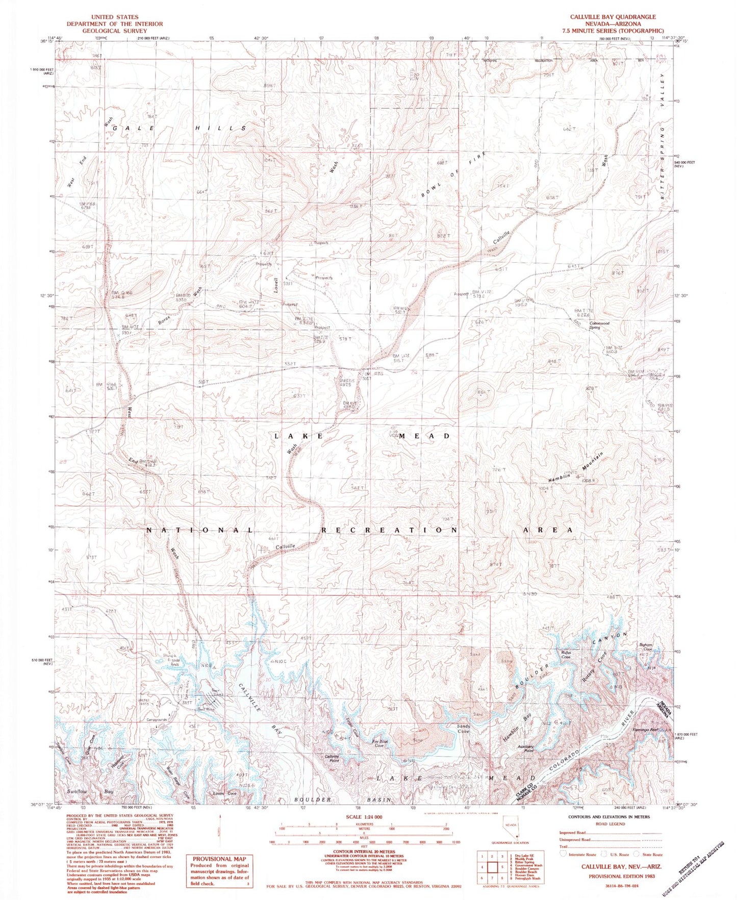
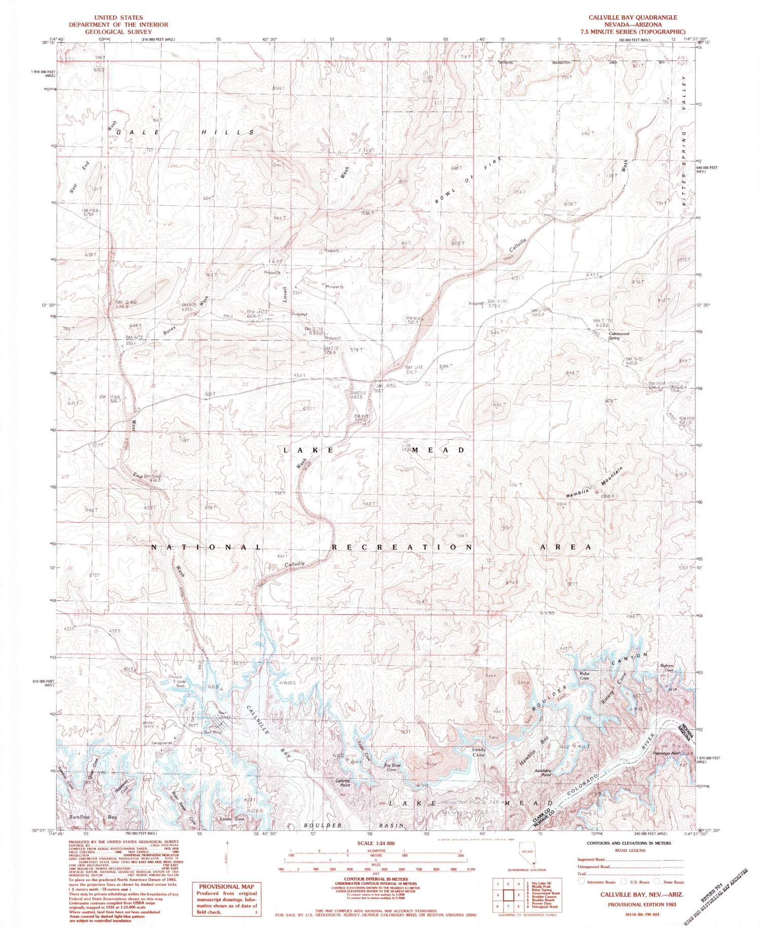
Classic USGS Callville Bay Nevada 7.5'x7.5' Topo Map
Couldn't load pickup availability
Historical USGS topographic quad map of Callville Bay in the states of Nevada, Arizona. Typical map scale is 1:24,000, but may vary for certain years, if available. Print size: 24" x 27"
This quadrangle is in the following counties: Clark, Mohave.
The map contains contour lines, roads, rivers, towns, and lakes. Printed on high-quality waterproof paper with UV fade-resistant inks, and shipped rolled.
Contains the following named places: Boulder Canyon, Borax Wash, Bowl of Fire, Callville Bay, Callville Wash, Hamblin Bay, Hamblin Mountain, Lovell Wash, Sandy Cove, West End Wash, Physic Spring, West End (historical), Water Barge Cove, Lovers Cove, Quiet Cove, Hideaway Cove, Callville Point, Finger Cove, Fire Bowl Cove, Auxiliary Point, Rufus Cove, Bighorn Cove, Rotary Cove, Fire Bowl, Callville Bay, Cottonwood Spring, West End Mine, Anniversary Mine, Swallow Cove, Flamingo Reef