
MyTopo
Classic USGS Calumet Island Louisiana 7.5'x7.5' Topo Map
Regular price
$16.95
Regular price
Sale price
$16.95
Unit price
per
Couldn't load pickup availability
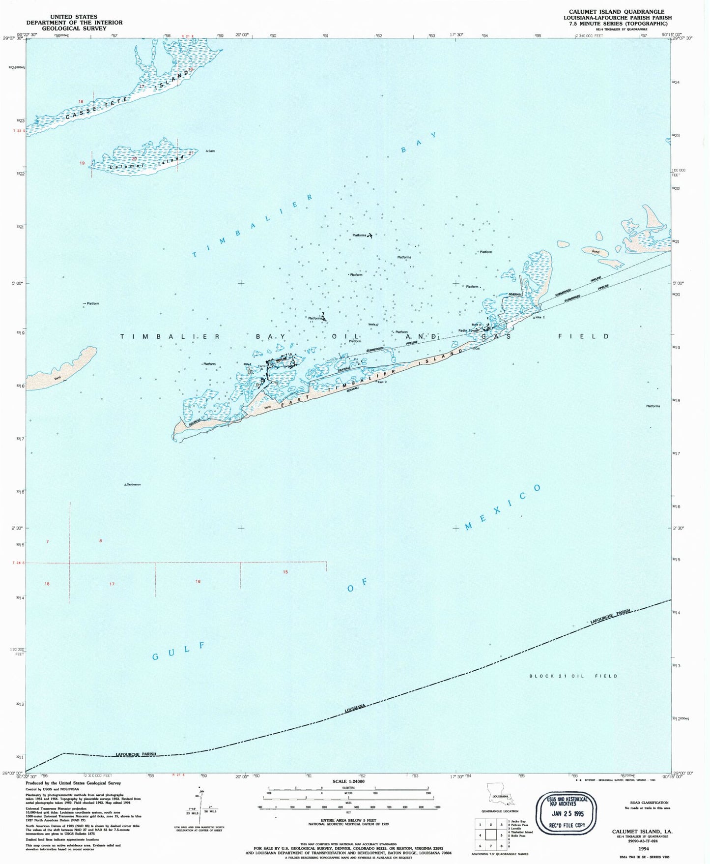
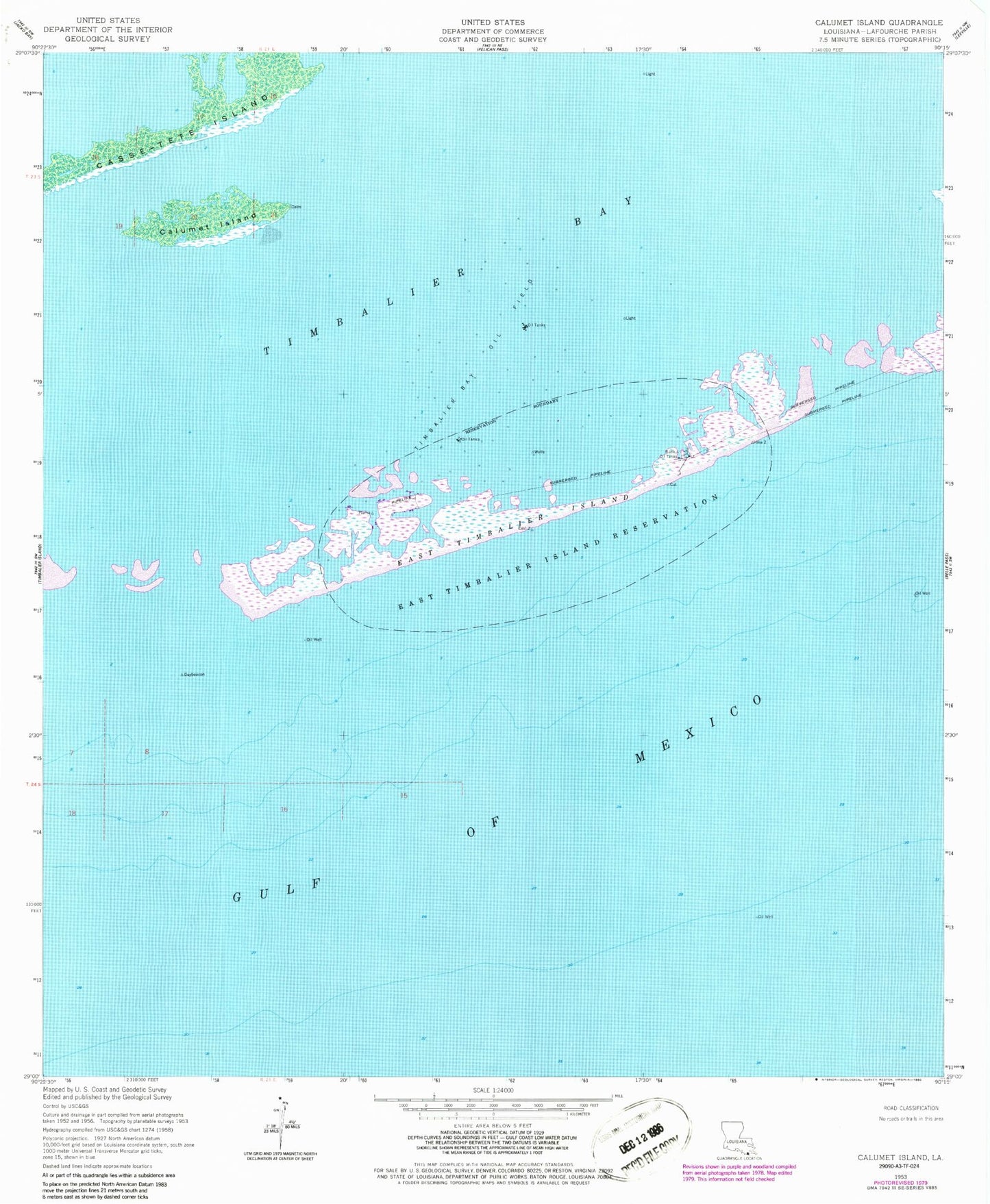
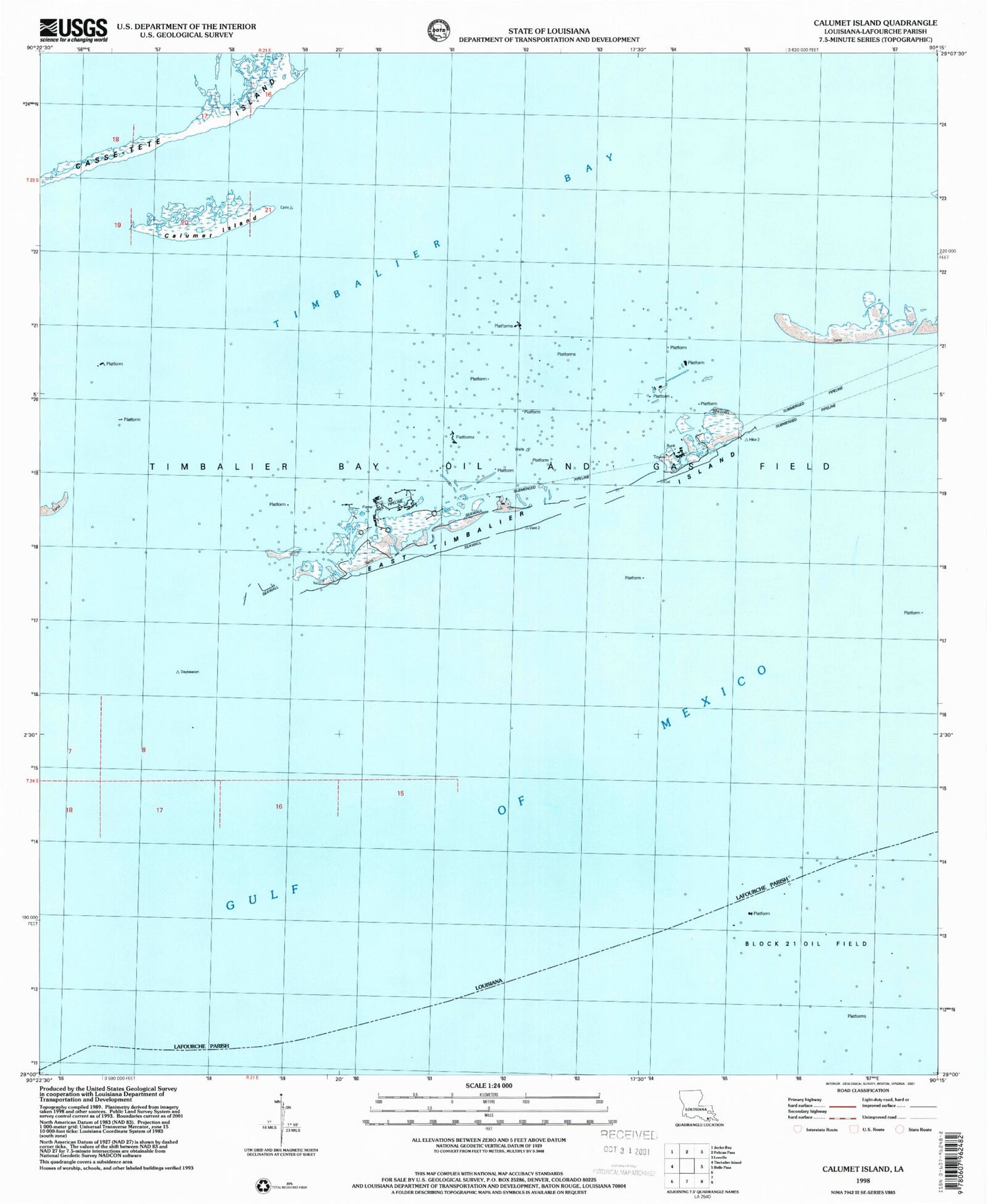
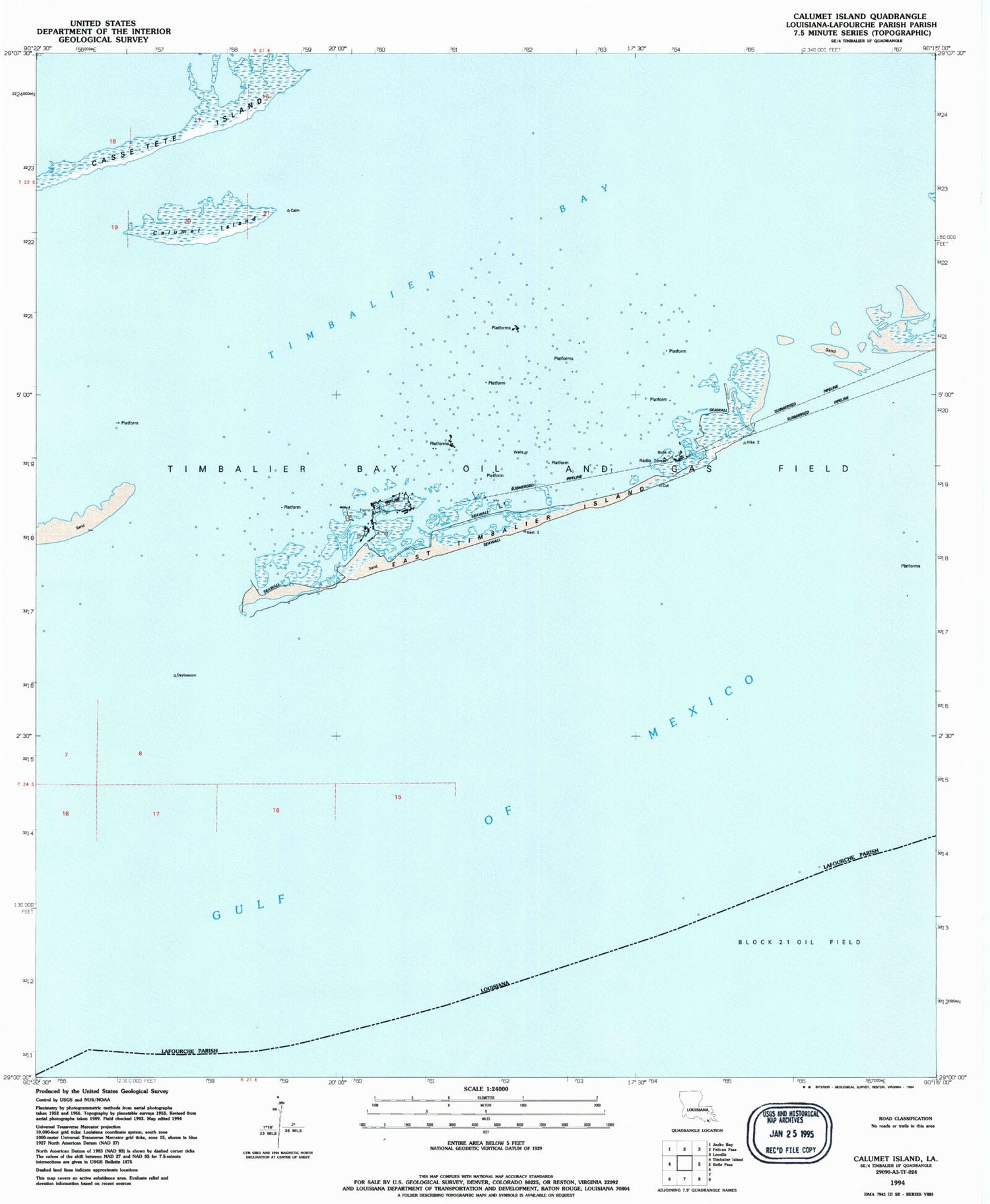
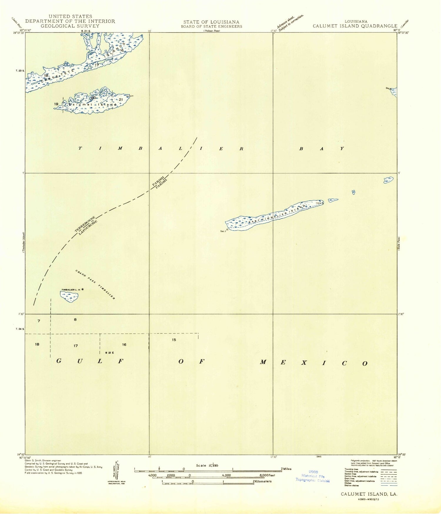
Historical USGS topographic quad map of Calumet Island in the state of Louisiana. Map scale may vary for some years, but is generally around 1:24,000. Print size is approximately 24" x 27"
This quadrangle is in the following counties: Lafourche.
The map contains contour lines, roads, rivers, towns, and lakes. Printed on high-quality waterproof paper with UV fade-resistant inks, and shipped rolled.
Contains the following named places: Calumet Island, Casse-tete Island, Compressors Heliport, East Timbalier Island, East Timbalier Island National Wildlife Refuge, East Timbalier Island Reservation, Timbalier Bay Camp Seaplane Base, Timbalier Bay Oil Field, Timbalier Bay Seaplane Base