MyTopo
Classic USGS Calva Arizona 7.5'x7.5' Topo Map
Regular price
$16.95
Regular price
Sale price
$16.95
Unit price
per
Couldn't load pickup availability
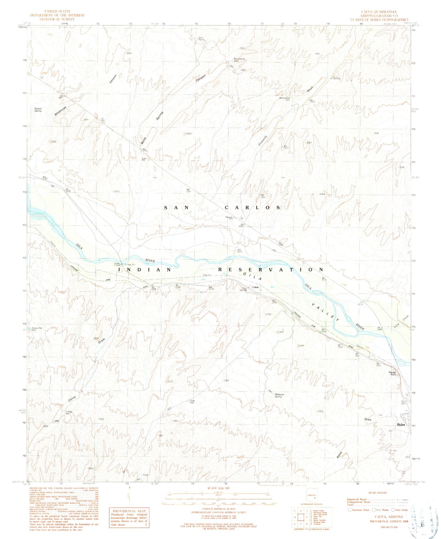
Historical USGS topographic quad map of Calva in the state of Arizona. Map scale may vary for some years, but is generally around 1:24,000. Print size is approximately 24" x 27"
This quadrangle is in the following counties: Graham.
The map contains contour lines, roads, rivers, towns, and lakes. Printed on high-quality waterproof paper with UV fade-resistant inks, and shipped rolled.
Contains the following named places: Bates Draw, Bone Spring Canyon, Bone Spring Well, Calva, Calva Draw, Calva Railroad Station, Charley Well, Fivemile Wash, Gila Valley, Long Creek, Navajo Point, Navajo Point Cemetery, Pikes Well, Poison Spring, Wildhorse Canyon, Yellowjacket Well